2199 Farm Rd Macon, GA 31217
Estimated Value: $217,000 - $456,385
4
Beds
3
Baths
2,980
Sq Ft
$104/Sq Ft
Est. Value
About This Home
This home is located at 2199 Farm Rd, Macon, GA 31217 and is currently estimated at $309,096, approximately $103 per square foot. 2199 Farm Rd is a home located in Bibb County with nearby schools including Bernd Elementary School, Appling Middle School, and Northeast High School.
Ownership History
Date
Name
Owned For
Owner Type
Purchase Details
Closed on
Oct 14, 2005
Sold by
Moshtael Anne K and Moshtael Parvis
Bought by
Henson William P
Current Estimated Value
Home Financials for this Owner
Home Financials are based on the most recent Mortgage that was taken out on this home.
Original Mortgage
$138,700
Outstanding Balance
$73,317
Interest Rate
5.66%
Mortgage Type
New Conventional
Estimated Equity
$235,779
Create a Home Valuation Report for This Property
The Home Valuation Report is an in-depth analysis detailing your home's value as well as a comparison with similar homes in the area
Home Values in the Area
Average Home Value in this Area
Purchase History
| Date | Buyer | Sale Price | Title Company |
|---|---|---|---|
| Henson William P | $146,000 | None Available |
Source: Public Records
Mortgage History
| Date | Status | Borrower | Loan Amount |
|---|---|---|---|
| Open | Henson William P | $138,700 |
Source: Public Records
Tax History Compared to Growth
Tax History
| Year | Tax Paid | Tax Assessment Tax Assessment Total Assessment is a certain percentage of the fair market value that is determined by local assessors to be the total taxable value of land and additions on the property. | Land | Improvement |
|---|---|---|---|---|
| 2025 | $2,524 | $109,690 | $29,163 | $80,527 |
| 2024 | $2,608 | $109,690 | $29,163 | $80,527 |
| 2023 | $2,151 | $109,690 | $29,163 | $80,527 |
| 2022 | $2,973 | $92,877 | $26,015 | $66,862 |
| 2021 | $3,263 | $92,877 | $26,015 | $66,862 |
| 2020 | $3,334 | $92,877 | $26,015 | $66,862 |
| 2019 | $3,269 | $90,519 | $26,015 | $64,504 |
| 2018 | $4,639 | $78,380 | $26,015 | $52,365 |
| 2017 | $2,674 | $78,380 | $26,015 | $52,365 |
| 2016 | $2,470 | $78,380 | $26,015 | $52,365 |
| 2015 | $3,532 | $79,118 | $26,015 | $53,102 |
| 2014 | $3,538 | $79,118 | $26,015 | $53,102 |
Source: Public Records
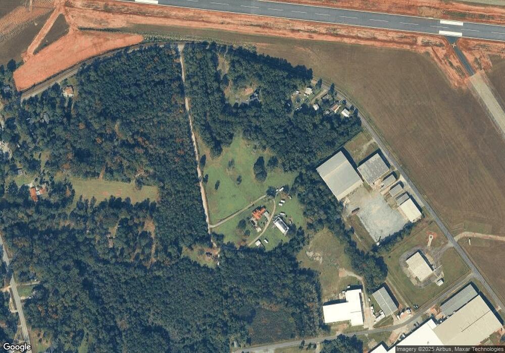
Map
Nearby Homes
- 3954 Ocmulgee Blvd E
- 1995 Crooms Dr
- 4462 Riggins Mill Rd
- 2708 Herbert Smart Airport Rd
- 5055 Riggins Mill Rd
- 3830 Brenda Dr
- 2766 Stanley Dr
- 2776 Stanley Dr
- 3706 Riggins Mill Rd
- 5151 Riggins Mill Rd
- 3320 Jones Dr
- 3335 Esther Dr
- 3164 Riggins Mill Rd
- 3411 Jeffersonville Rd
- 3909 Jeffersonville Rd
- 3917 Jeffersonville Rd
- 631 Crabapple Place
- 508 Farm View Ln
- 2140 Farm Rd
- 0 Hubbard Rd
- 2249 Hubbard Rd
- 2091 Hubbard Rd
- 2161 Hubbard Rd
- 2261 Hubbard Rd
- 2267 Hubbard Rd
- 2285 Hubbard Rd
- 2155 Hubbard Rd
- 4000 Ocmulgee East Blvd
- 810 Farm View Ln
- 167 Casablanca Dr
- 2071 Hubbard Rd
- 2055 Hubbard Rd
- 2039 Hubbard Rd
- 4014 Ocmulgee East Blvd
- 3954 Ocmulgee East Blvd
- 2254 Ronald Ave
- 2025 Hubbard Rd