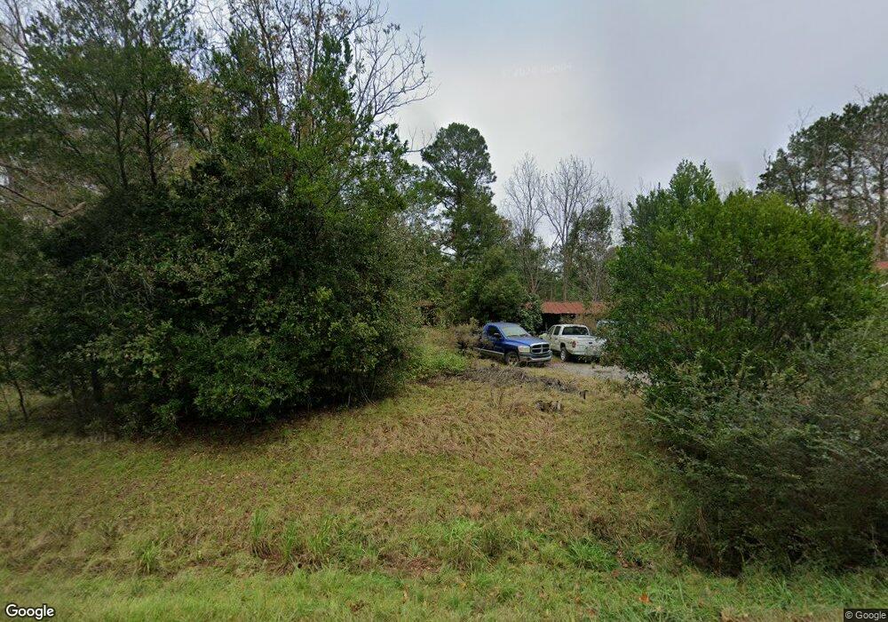
2199 Old Poor Robin Rd Sylvania, GA 30467
Estimated Value: $106,483 - $644,000
3
Beds
1
Bath
1,552
Sq Ft
$172/Sq Ft
Est. Value
About This Home
This home is located at 2199 Old Poor Robin Rd, Sylvania, GA 30467 and is currently estimated at $267,121, approximately $172 per square foot. 2199 Old Poor Robin Rd is a home located in Screven County with nearby schools including Screven County Elementary School, Screven County Middle School, and Screven County High School.
Ownership History
Date
Name
Owned For
Owner Type
Purchase Details
Closed on
Dec 2, 2010
Sold by
Scott William Emerson
Bought by
Wagner Kimberly S
Current Estimated Value
Purchase Details
Closed on
Sep 10, 2008
Sold by
Scott Mrs Emerson W
Bought by
Scott William Emerson
Purchase Details
Closed on
Apr 13, 1987
Sold by
Scott Wm Emerson
Bought by
Scott Marjorie P
Create a Home Valuation Report for This Property
The Home Valuation Report is an in-depth analysis detailing your home's value as well as a comparison with similar homes in the area
Home Values in the Area
Average Home Value in this Area
Purchase History
| Date | Buyer | Sale Price | Title Company |
|---|---|---|---|
| Wagner Kimberly S | -- | -- | |
| Wagner Kimberly S | -- | -- | |
| Scott William Emerson | -- | -- | |
| Scott Marjorie P | -- | -- | |
| Scott William Emerson | -- | -- |
Source: Public Records
Tax History Compared to Growth
Tax History
| Year | Tax Paid | Tax Assessment Tax Assessment Total Assessment is a certain percentage of the fair market value that is determined by local assessors to be the total taxable value of land and additions on the property. | Land | Improvement |
|---|---|---|---|---|
| 2025 | $1,005 | $25,424 | $13,720 | $11,704 |
| 2024 | $1,005 | $31,576 | $10,800 | $20,776 |
| 2023 | $1,005 | $31,576 | $10,800 | $20,776 |
| 2022 | $985 | $29,936 | $10,400 | $19,536 |
| 2021 | $946 | $27,216 | $9,560 | $17,656 |
| 2020 | $953 | $26,616 | $9,560 | $17,056 |
| 2019 | $952 | $26,616 | $9,560 | $17,056 |
| 2018 | $745 | $26,016 | $9,560 | $16,456 |
| 2017 | $745 | $26,016 | $9,560 | $16,456 |
| 2016 | $885 | $26,376 | $9,560 | $16,816 |
| 2015 | -- | $25,776 | $9,560 | $16,216 |
| 2014 | -- | $25,696 | $9,560 | $16,136 |
| 2013 | -- | $0 | $0 | $0 |
Source: Public Records
Map
Nearby Homes
- 0 Old Poor Robin Unit 10505589
- 0 Old Poor Robin Unit 23279409
- 1430 Old Poor Robin Rd
- 0 Newington Hwy Unit 10633960
- 0 Newington Hwy Unit 25460805
- 0 Newington Hwy Unit 10633968
- 0 Newington Hwy Unit 25460796
- 1073 Newington Hwy
- 0 Buck Creek Rd Unit 10636216
- 0 Buck Creek Rd Unit 25464933
- 301 Beulah Rd
- 001 Beulah Rd
- 6585 Newington Hwy
- 388 Whitehill Rd
- 388 White Hill Rd
- 258 Beardsville Rd
- 0 Peeples Farm Rd Unit 10586522
- 509 Whitehill Rd
- 509 White Hill Rd
- 0 Hunters Rd Unit 25764201
- 2204 Old Poor Robin Rd
- 500 Poor Robin Rd
- 2129 Old Poor Robin Rd
- 2235 Old Poor Robin Rd
- 1901 Old Poor Robin Rd
- 2433 Old Poor Robin Rd
- 0 Old Poor Robin Unit 66443
- 686* Old Poor Robin Rd
- 356 Maple Branch Rd
- 0 Quail Rd Unit 8007918
- 400* Quail Rd
- 110 Quail Rd
- 1212 Quail Rd
- 1249 Quail Rd
- 308 Maple Branch Rd
- 1221 Quail Rd
- 1545 Quail Rd
- 1545 Quail Rd
- 1803 Old Poor Robin Rd
- 1801 Old Poor Robin Rd