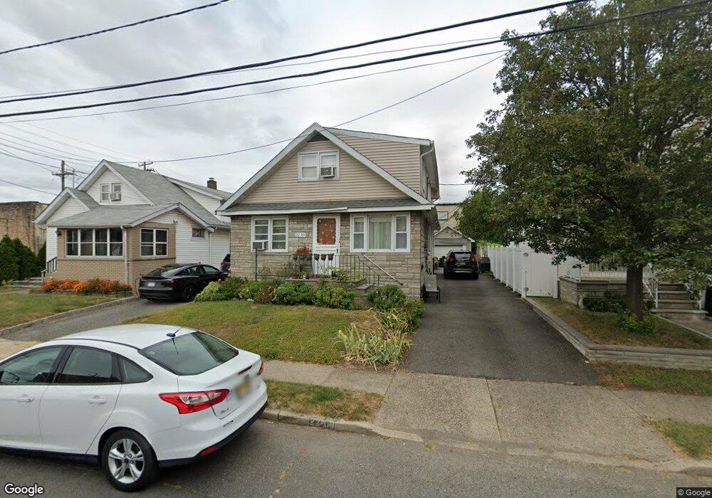
22-09 Ward St Unit 2X Fair Lawn, NJ 07410
Estimated Value: $590,000 - $639,539
1
Bed
1
Bath
1,814
Sq Ft
$343/Sq Ft
Est. Value
About This Home
This home is located at 22-09 Ward St Unit 2X, Fair Lawn, NJ 07410 and is currently estimated at $622,885, approximately $343 per square foot. 22-09 Ward St Unit 2X is a home located in Bergen County with nearby schools including Warren Point Elementary School, Thomas Jefferson Middle School, and Fair Lawn High School.
Ownership History
Date
Name
Owned For
Owner Type
Purchase Details
Closed on
Apr 11, 2020
Sold by
Haast Marion and Haast Arthur
Bought by
Stewart John and Stewart Stephanie
Current Estimated Value
Purchase Details
Closed on
May 9, 1989
Bought by
Haast Marion and Haast Stewart, J
Create a Home Valuation Report for This Property
The Home Valuation Report is an in-depth analysis detailing your home's value as well as a comparison with similar homes in the area
Home Values in the Area
Average Home Value in this Area
Purchase History
| Date | Buyer | Sale Price | Title Company |
|---|---|---|---|
| Stewart John | $150,000 | Builders Title Agency Inc | |
| Haast Marion | -- | -- |
Source: Public Records
Tax History Compared to Growth
Tax History
| Year | Tax Paid | Tax Assessment Tax Assessment Total Assessment is a certain percentage of the fair market value that is determined by local assessors to be the total taxable value of land and additions on the property. | Land | Improvement |
|---|---|---|---|---|
| 2025 | $9,923 | $279,600 | $157,500 | $122,100 |
| 2024 | $9,772 | $279,600 | $157,500 | $122,100 |
| 2023 | $9,655 | $279,600 | $157,500 | $122,100 |
| 2022 | $9,655 | $279,600 | $157,500 | $122,100 |
| 2021 | $9,663 | $279,600 | $157,500 | $122,100 |
| 2020 | $9,590 | $279,600 | $157,500 | $122,100 |
| 2019 | $9,423 | $279,600 | $157,500 | $122,100 |
| 2018 | $9,249 | $279,600 | $157,500 | $122,100 |
| 2017 | $9,020 | $279,600 | $157,500 | $122,100 |
| 2016 | $8,771 | $279,600 | $157,500 | $122,100 |
| 2015 | $8,606 | $279,600 | $157,500 | $122,100 |
| 2014 | $8,461 | $279,600 | $157,500 | $122,100 |
Source: Public Records
Map
Nearby Homes
- 4-46 Boyd Ave Unit 1X
- 24-09 Raphael St Unit 1X
- 17-02 Morlot Ave Unit 1X
- 26-14 Morlot Ave Unit 1X
- 3-29 17th St Unit 1X
- 9-08 Mansfield Dr Unit 1X
- 28-07 Zachary Terrace Unit 1X
- 9-10 Mansfield Dr Unit 1X
- 15-09 Morlot Ave Unit 1X
- 25-10 Berdan Ave Unit 1X
- 33 Landmark Ln Unit 1015
- 24 Ryder Rd Unit 1X
- 17-19 Berdan Ave Unit 1X
- 145 Willow St
- 19 Florence Place
- 8-09 12th St Unit 1X
- 7 Bryson Rd Unit 1X
- 16 van Saun Place Unit 1X
- 31-12 Rosalie St
- 66 Florence Place
- 22-09 Ward St Unit 2nd Fl
- 22-05 Ward St Unit 1X
- 22-13 Ward St Unit 1X
- 5-02 Hartley Place Unit 1X
- 5-06 Hartley Place Unit 1X
- 5-10 Hartley Place Unit 1X
- 4-56 Hartley Place Unit 2X
- 5-12 Hartley Place Unit 1X
- 22 Ward St
- 5-16 Hartley Place Unit 1X
- 4-50 Hartley Place Unit 1X
- 5 Hartley Place Unit 3
- 5 Hartley Place
- 5-20 Hartley Place
- 23-07 Ward St Unit 1X
- 4-46 Hartley Place Unit 1X
- 5-09 Hartley Place Unit 1X
- 4-57 Hartley Place Unit 1X
- 4-25 Banta Place
- 22 Morlot Ave