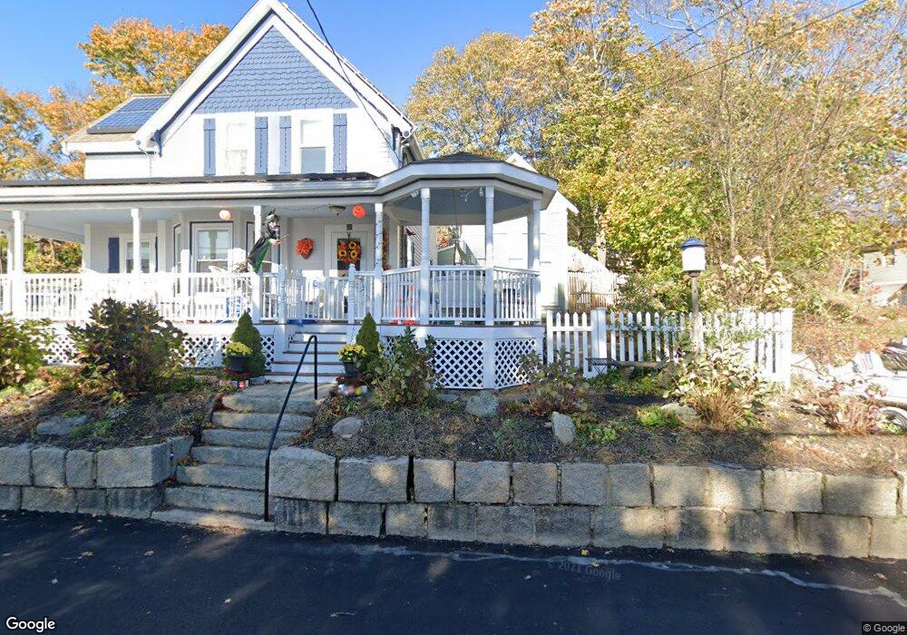
22 1/2 Reynard St Gloucester, MA 01930
Estimated Value: $461,388 - $548,000
1
Bed
1
Bath
784
Sq Ft
$657/Sq Ft
Est. Value
About This Home
This home is located at 22 1/2 Reynard St, Gloucester, MA 01930 and is currently estimated at $514,847, approximately $656 per square foot. 22 1/2 Reynard St is a home located in Essex County with nearby schools including Beeman Memorial, Ralph B O'maley Middle School, and Gloucester High School.
Ownership History
Date
Name
Owned For
Owner Type
Purchase Details
Closed on
Jul 15, 2025
Sold by
Kesterson Julie R and Kesterson William E
Bought by
Kesterson Ft and Kesterson
Current Estimated Value
Purchase Details
Closed on
May 1, 1977
Bought by
Kesterson William E
Create a Home Valuation Report for This Property
The Home Valuation Report is an in-depth analysis detailing your home's value as well as a comparison with similar homes in the area
Home Values in the Area
Average Home Value in this Area
Purchase History
| Date | Buyer | Sale Price | Title Company |
|---|---|---|---|
| Kesterson Ft | -- | -- | |
| Kesterson Ft | -- | -- | |
| Kesterson Ft | -- | -- | |
| Kesterson William E | -- | -- |
Source: Public Records
Mortgage History
| Date | Status | Borrower | Loan Amount |
|---|---|---|---|
| Previous Owner | Kesterson William E | $100,000 | |
| Previous Owner | Kesterson William E | $120,000 | |
| Previous Owner | Kesterson William E | $100,000 |
Source: Public Records
Tax History Compared to Growth
Tax History
| Year | Tax Paid | Tax Assessment Tax Assessment Total Assessment is a certain percentage of the fair market value that is determined by local assessors to be the total taxable value of land and additions on the property. | Land | Improvement |
|---|---|---|---|---|
| 2025 | $3,564 | $366,700 | $135,600 | $231,100 |
| 2024 | $3,506 | $360,300 | $129,200 | $231,100 |
| 2023 | $3,356 | $316,900 | $115,300 | $201,600 |
| 2022 | $3,246 | $276,700 | $100,300 | $176,400 |
| 2021 | $3,130 | $251,600 | $91,200 | $160,400 |
| 2020 | $3,007 | $243,900 | $91,200 | $152,700 |
| 2019 | $2,807 | $221,200 | $91,200 | $130,000 |
| 2018 | $2,645 | $204,600 | $91,200 | $113,400 |
| 2017 | $2,563 | $194,300 | $86,800 | $107,500 |
| 2016 | $2,478 | $182,100 | $90,600 | $91,500 |
| 2015 | $2,389 | $175,000 | $90,600 | $84,400 |
Source: Public Records
Map
Nearby Homes
- 65 Poplar St
- 109 Riverview Rd
- 19 Mystic Ave
- 78 Grove St
- 16 Cleveland Place Unit 11
- 196 Washington St
- 40 Sargent St
- 15 Harvard St
- 119 Pleasant St
- 33 Maplewood Ave Unit 21
- 672 Washington St
- 8 Summer St Unit 103
- 4 Mount Vernon St
- 22 Taylor St Unit 1
- 5 Washington Square
- 90 Middle St Unit L
- 35 Middle St Unit 4
- 160 Prospect St Unit 3
- 33 Middle St
- 29 Harrison Ave