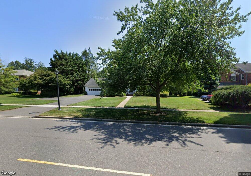
22 1st St Garden City, NY 11530
Estimated Value: $1,677,000 - $1,747,678
5
Beds
4
Baths
3,050
Sq Ft
$561/Sq Ft
Est. Value
About This Home
This home is located at 22 1st St, Garden City, NY 11530 and is currently estimated at $1,712,339, approximately $561 per square foot. 22 1st St is a home located in Nassau County with nearby schools including Stewart School, Locust School, and Garden City Middle School.
Ownership History
Date
Name
Owned For
Owner Type
Purchase Details
Closed on
Apr 26, 2018
Sold by
Vincent J Guida and Vincent Guida Estate
Bought by
Brachio Zachary and Brachio Sandhya
Current Estimated Value
Home Financials for this Owner
Home Financials are based on the most recent Mortgage that was taken out on this home.
Original Mortgage
$850,000
Outstanding Balance
$729,414
Interest Rate
4.44%
Mortgage Type
New Conventional
Estimated Equity
$982,925
Create a Home Valuation Report for This Property
The Home Valuation Report is an in-depth analysis detailing your home's value as well as a comparison with similar homes in the area
Home Values in the Area
Average Home Value in this Area
Purchase History
| Date | Buyer | Sale Price | Title Company |
|---|---|---|---|
| Brachio Zachary | $1,200,500 | Commonwealth Land Title | |
| Brachio Zachary | $1,200,500 | Commonwealth Land Title | |
| Brachio Zachary | $1,200,500 | Commonwealth Land Title |
Source: Public Records
Mortgage History
| Date | Status | Borrower | Loan Amount |
|---|---|---|---|
| Open | Brachio Zachary | $850,000 | |
| Closed | Brachio Zachary | $850,000 |
Source: Public Records
Tax History Compared to Growth
Tax History
| Year | Tax Paid | Tax Assessment Tax Assessment Total Assessment is a certain percentage of the fair market value that is determined by local assessors to be the total taxable value of land and additions on the property. | Land | Improvement |
|---|---|---|---|---|
| 2025 | $16,669 | $1,062 | $525 | $537 |
| 2024 | $2,137 | $1,002 | $493 | $509 |
| 2023 | $14,347 | $1,067 | $525 | $542 |
| 2022 | $14,347 | $1,067 | $525 | $542 |
| 2021 | $21,732 | $1,036 | $510 | $526 |
| 2020 | $16,162 | $1,425 | $1,294 | $131 |
| 2019 | $2,023 | $1,425 | $1,213 | $212 |
| 2018 | $1,869 | $1,520 | $0 | $0 |
| 2017 | $9,165 | $1,615 | $1,222 | $393 |
| 2016 | $11,589 | $1,710 | $1,165 | $545 |
| 2015 | $2,176 | $1,805 | $1,229 | $576 |
| 2014 | $2,176 | $1,805 | $1,229 | $576 |
| 2013 | $2,138 | $1,900 | $1,294 | $606 |
Source: Public Records
Map
Nearby Homes
- 301 Concord Ave
- 2 Sunset Ln
- 252 Lexington Ave
- 306 Cambridge Ave
- 67 3rd St
- 253 William St
- 89 Osborne Rd
- 47 Stratford Rd
- 170 Ivy St
- 197 Ivy St
- 26 Sycamore St
- 200 Hilton Ave Unit 55
- 181 Oak St
- 88 5th St
- 39 Hilbert St
- 179 Fairlawn Ave
- 304 Kilburn Rd S
- 12 Hamilton Place Unit B5
- 12 Hamilton Place Unit A-10
- 12 Hamilton Place Unit D-11