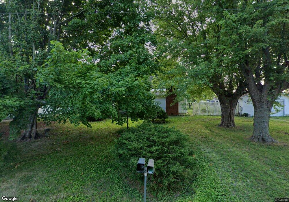
22 2nd St New Holland, OH 43145
Estimated Value: $143,224 - $187,000
3
Beds
1
Bath
1,368
Sq Ft
$118/Sq Ft
Est. Value
About This Home
This home is located at 22 2nd St, New Holland, OH 43145 and is currently estimated at $161,556, approximately $118 per square foot. 22 2nd St is a home with nearby schools including Miami Trace Elementary School, Miami Trace Middle School, and Miami Trace High School.
Ownership History
Date
Name
Owned For
Owner Type
Purchase Details
Closed on
Aug 8, 2018
Sold by
Powell Cheryl Lynn
Bought by
Anders Emily and Anders Bryce
Current Estimated Value
Home Financials for this Owner
Home Financials are based on the most recent Mortgage that was taken out on this home.
Original Mortgage
$93,279
Outstanding Balance
$83,091
Interest Rate
5.75%
Mortgage Type
FHA
Estimated Equity
$78,465
Purchase Details
Closed on
Mar 17, 2014
Sold by
Orihood Paul David and Orihood Grace L
Bought by
Powell Cheryl Lynn
Create a Home Valuation Report for This Property
The Home Valuation Report is an in-depth analysis detailing your home's value as well as a comparison with similar homes in the area
Home Values in the Area
Average Home Value in this Area
Purchase History
| Date | Buyer | Sale Price | Title Company |
|---|---|---|---|
| Anders Emily | $95,000 | Northwest Title | |
| Anders Emily | $95,000 | Northwest Title Family Of Co | |
| Powell Cheryl Lynn | -- | Attorney |
Source: Public Records
Mortgage History
| Date | Status | Borrower | Loan Amount |
|---|---|---|---|
| Open | Anders Emily | $93,279 |
Source: Public Records
Tax History Compared to Growth
Tax History
| Year | Tax Paid | Tax Assessment Tax Assessment Total Assessment is a certain percentage of the fair market value that is determined by local assessors to be the total taxable value of land and additions on the property. | Land | Improvement |
|---|---|---|---|---|
| 2024 | -- | $46,250 | $5,870 | $40,380 |
| 2023 | $1,905 | $46,250 | $5,870 | $40,380 |
| 2022 | $1,223 | $28,020 | $2,640 | $25,380 |
| 2021 | $1,257 | $28,020 | $2,640 | $25,380 |
| 2020 | $1,272 | $28,020 | $2,640 | $25,380 |
| 2019 | $901 | $24,620 | $2,640 | $21,980 |
| 2018 | $746 | $24,620 | $2,640 | $21,980 |
| 2017 | $1,411 | $24,620 | $2,640 | $21,980 |
| 2016 | $635 | $22,020 | $2,370 | $19,650 |
| 2015 | $643 | $22,020 | $2,370 | $19,650 |
| 2014 | $968 | $22,020 | $2,370 | $19,650 |
| 2013 | $631 | $22,020 | $2,370 | $19,650 |
Source: Public Records
Map
Nearby Homes
- 25 W Front St
- 0 Beaumont Ct
- 207 U S 22
- 36 Circle Ave
- 8 Allen Ave
- 13525 Clarksburg Pike
- 2922 SE Good Hope New Holland Rd SE
- 7882 Glaze Rd Unit NE
- 3508 Knight Rd NE
- 7764 Glaze Rd
- 5181 Robinson Rd SE
- 21651 Hannawalt Rd
- 198 Stinson Dr
- 17310 High St
- 75 Country Manor Dr SE Unit SE
- 75 Country Manor Dr SE
- 2610 Old Springfield Rd
- 0 Yankeetown Pike Unit 225019293
- 11744 Yankeetown Pike
- 4200 Camp Grove Rd SE