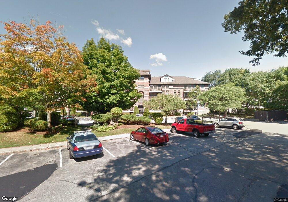
22 Abigail Ave Unit T1 Quincy, MA 02169
South Quincy NeighborhoodEstimated Value: $531,000 - $615,000
2
Beds
2
Baths
1,536
Sq Ft
$376/Sq Ft
Est. Value
About This Home
This home is located at 22 Abigail Ave Unit T1, Quincy, MA 02169 and is currently estimated at $576,877, approximately $375 per square foot. 22 Abigail Ave Unit T1 is a home located in Norfolk County with nearby schools including Lincoln-Hancock Community School, South West Middle School, and Quincy High School.
Ownership History
Date
Name
Owned For
Owner Type
Purchase Details
Closed on
Mar 31, 2020
Sold by
Antrobus Leroy C and Lobert Justine V
Bought by
Xi Daoyun
Current Estimated Value
Purchase Details
Closed on
Aug 9, 2016
Sold by
Donovan William C Est
Bought by
Clifford-Antrobus 3Rd L and Lobert Justine
Home Financials for this Owner
Home Financials are based on the most recent Mortgage that was taken out on this home.
Original Mortgage
$306,000
Interest Rate
3.56%
Mortgage Type
New Conventional
Create a Home Valuation Report for This Property
The Home Valuation Report is an in-depth analysis detailing your home's value as well as a comparison with similar homes in the area
Home Values in the Area
Average Home Value in this Area
Purchase History
| Date | Buyer | Sale Price | Title Company |
|---|---|---|---|
| Xi Daoyun | $455,000 | None Available | |
| Clifford-Antrobus 3Rd L | $340,000 | -- |
Source: Public Records
Mortgage History
| Date | Status | Borrower | Loan Amount |
|---|---|---|---|
| Previous Owner | Clifford-Antrobus 3Rd L | $306,000 |
Source: Public Records
Tax History Compared to Growth
Tax History
| Year | Tax Paid | Tax Assessment Tax Assessment Total Assessment is a certain percentage of the fair market value that is determined by local assessors to be the total taxable value of land and additions on the property. | Land | Improvement |
|---|---|---|---|---|
| 2025 | $6,079 | $527,200 | $0 | $527,200 |
| 2024 | $5,673 | $503,400 | $0 | $503,400 |
| 2023 | $5,243 | $471,100 | $0 | $471,100 |
| 2022 | $5,790 | $483,300 | $0 | $483,300 |
| 2021 | $5,679 | $467,800 | $0 | $467,800 |
| 2020 | $5,441 | $437,700 | $0 | $437,700 |
| 2019 | $5,580 | $444,600 | $0 | $444,600 |
| 2018 | $5,005 | $375,200 | $0 | $375,200 |
| 2017 | $4,992 | $352,300 | $0 | $352,300 |
| 2016 | $5,083 | $354,000 | $0 | $354,000 |
| 2015 | $3,764 | $257,800 | $0 | $257,800 |
| 2014 | $3,394 | $228,400 | $0 | $228,400 |
Source: Public Records
Map
Nearby Homes
- 155 Kendrick Ave Unit T7
- 83 Madison Ave
- 166 Phipps St
- 5 Pearl St
- 72 Federal Ave
- 57 Summer St
- 8 Jackson St Unit B2
- 10 Hughes St
- 94 Brook Rd Unit 3
- 195 Independence Ave Unit 137
- 218 Independence Ave Unit B
- 34 South St Unit 202
- 165 Granite St
- 102 Conrad St
- 18 Cliveden St Unit 201W
- 106 Home Park Rd
- 2 Cliveden St Unit 601E
- 2 Cliveden St Unit 305E
- 32 Sumner St
- 35 Sumner St
- 22 Abigail Ave Unit T7
- 22 Abigail Ave Unit T6
- 22 Abigail Ave Unit T5
- 22 Abigail Ave Unit T4
- 22 Abigail Ave Unit T3
- 22 Abigail Ave Unit T2
- 22 Abigail Ave Unit 504
- 22 Abigail Ave Unit 503
- 22 Abigail Ave Unit 502
- 22 Abigail Ave Unit 501
- 22 Abigail Ave Unit 410
- 22 Abigail Ave Unit 409
- 22 Abigail Ave Unit 408
- 22 Abigail Ave Unit 407
- 22 Abigail Ave Unit 406
- 22 Abigail Ave Unit 405
- 22 Abigail Ave Unit 404
- 22 Abigail Ave Unit 403
- 22 Abigail Ave Unit 402
- 22 Abigail Ave Unit 401