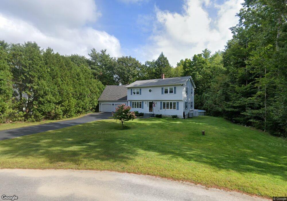
22 Adams Cir Buxton, ME 04093
Estimated Value: $477,729 - $571,000
3
Beds
2
Baths
1,824
Sq Ft
$286/Sq Ft
Est. Value
About This Home
This home is located at 22 Adams Cir, Buxton, ME 04093 and is currently estimated at $521,932, approximately $286 per square foot. 22 Adams Cir is a home with nearby schools including Bonny Eagle High School.
Create a Home Valuation Report for This Property
The Home Valuation Report is an in-depth analysis detailing your home's value as well as a comparison with similar homes in the area
Home Values in the Area
Average Home Value in this Area
Tax History
| Year | Tax Paid | Tax Assessment Tax Assessment Total Assessment is a certain percentage of the fair market value that is determined by local assessors to be the total taxable value of land and additions on the property. | Land | Improvement |
|---|---|---|---|---|
| 2025 | $4,400 | $386,000 | $110,900 | $275,100 |
| 2024 | $4,242 | $386,000 | $110,900 | $275,100 |
| 2023 | $4,026 | $386,000 | $110,900 | $275,100 |
| 2022 | $3,985 | $389,200 | $110,900 | $278,300 |
| 2021 | $3,510 | $242,745 | $69,600 | $173,145 |
| 2020 | $3,539 | $242,745 | $69,600 | $173,145 |
| 2019 | $3,206 | $216,300 | $69,600 | $146,700 |
| 2018 | $3,058 | $216,300 | $69,600 | $146,700 |
| 2017 | $2,942 | $216,300 | $69,600 | $146,700 |
| 2016 | $2,823 | $216,300 | $69,600 | $146,700 |
| 2015 | $2,801 | $216,300 | $69,600 | $146,700 |
| 2014 | $2,747 | $216,300 | $69,600 | $146,700 |
| 2013 | $2,704 | $216,300 | $69,600 | $146,700 |
Source: Public Records
Map
Nearby Homes
- 720 Parker Farm Rd
- 866 Parker Farm Lot B Rd
- 866 Parker Farm Lot A Rd
- 866 Parker Farm Rd Unit A
- 866 Parker Farm Rd Unit B
- 30 Joan Dixon Way
- Lot 2 Commerce Way
- 42 Brandons Way
- 71 Chicopee Rd
- 107 Sokokis Trail
- 16 Daniel St
- 4 Musket Dr
- 600 Saco Rd
- TBD Saco Rd
- 4 Cortland Place Unit 3
- 1 Cortland Place Unit 7
- 63 Ossipee Trail E
- 4 Blueberry Ln Unit 4
- 207 Dunnell Rd
- 27 Ossipee Trail E Unit 1
Your Personal Tour Guide
Ask me questions while you tour the home.