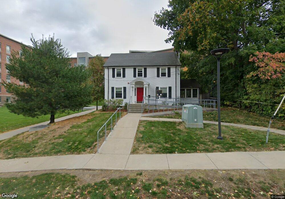
22 Adams Rd Framingham, MA 01702
Estimated Value: $1,109,796
About This Home
This home is located at 22 Adams Rd, Framingham, MA 01702 and is currently estimated at $1,109,796, approximately $753 per square foot. 22 Adams Rd is a home located in Middlesex County with nearby schools including Framingham High School, Saint Bridget School, and Summit Montessori School.
Ownership History
We collect this data history from publicly available records. To have your information removed, we recommend requesting removal directly through your county’s website.
Purchase Details
Purchase Details
Home Financials for this Owner
Home Financials are based on the most recent Mortgage that was taken out on this home.Purchase Details
Home Financials for this Owner
Home Financials are based on the most recent Mortgage that was taken out on this home.Home Values in the Area
Average Home Value in this Area
Purchase History
We collect this data history from publicly available records. To have your information removed, we recommend requesting removal directly through your county’s website.
| Date | Buyer | Sale Price | Title Company |
|---|---|---|---|
| $520,000 | -- | ||
| $520,000 | -- | ||
| $430,000 | -- | ||
| $430,000 | -- | ||
| $158,000 | -- | ||
| $158,000 | -- |
Mortgage History
We collect this data history from publicly available records. To have your information removed, we recommend requesting removal directly through your county’s website.
| Date | Status | Borrower | Loan Amount |
|---|---|---|---|
| Previous Owner | $330,000 | ||
| Previous Owner | $150,100 |
Tax History
We collect this data history from publicly available records. To have your information removed, we recommend requesting removal directly through your county’s website.
| Year | Tax Paid | Tax Assessment Tax Assessment Total Assessment is a certain percentage of the fair market value that is determined by local assessors to be the total taxable value of land and additions on the property. | Land | Improvement |
|---|---|---|---|---|
| 2025 | -- | $444,400 | $172,000 | $272,400 |
| 2024 | -- | $408,600 | $154,300 | $254,300 |
| 2023 | $0 | $373,300 | $137,800 | $235,500 |
| 2022 | $0 | $336,200 | $125,200 | $211,000 |
| 2021 | $0 | $318,600 | $120,300 | $198,300 |
| 2020 | $0 | $301,800 | $109,300 | $192,500 |
| 2019 | $0 | $291,500 | $109,200 | $182,300 |
| 2018 | $0 | $418,600 | $257,600 | $161,000 |
| 2017 | -- | $227,500 | $101,100 | $126,400 |
| 2016 | -- | $227,500 | $101,100 | $126,400 |
| 2015 | -- | $227,500 | $101,100 | $126,400 |
Map
- 30 Winter St
- 33 Grove St
- 17 Russell Rd
- 10 Arnold Rd
- 29 Prescott St
- 26 Beulah St
- 1321 Worcester Rd Unit 610
- 1323 Worcester Rd Unit F2
- 20 Buckminster St
- 330 Mount Wayte Ave
- 17 Old Wood Rd
- 4 Old Wood Rd
- 187 Mill St
- 13 Michaud Dr
- 8 Sunset Dr
- 29 Little Tree Ln
- 164 Lockland Ave
- 35 Westgate Rd
- 61 Indian Head Rd
- 477 Edgell Rd
- 14 Adams Rd
- 30 Adams Rd
- 31 Adams Rd
- 31 Adams Rd Unit 1
- 36 Adams Rd
- 43 Adams Rd
- 1 Salem End Rd
- 1 Maynard Rd
- 2 Salem End Rd
- 34 Salem End Rd Unit 7B
- 30 Salem End Rd Unit 17A
- 30 Salem End Rd
- 30 Salem End Rd Unit 3A
- 30 Salem End Rd Unit 20A
- 30 Salem End Rd Unit 1A
- 30 Salem End Rd Unit 19A
- 1001 Worcester Rd Unit 101
- 1001 Worcester Rd Unit 103
- 1001 Worcester Rd
- 31 Salem End Rd Unit 3
Ask me questions while you tour the home.