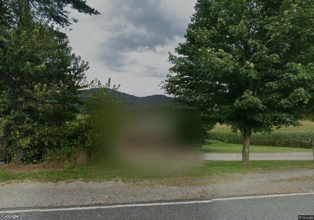
22 Ambrosia Dr Waynesville, NC 28785
Estimated Value: $295,467 - $452,000
3
Beds
2
Baths
1,176
Sq Ft
$312/Sq Ft
Est. Value
About This Home
This home is located at 22 Ambrosia Dr, Waynesville, NC 28785 and is currently estimated at $367,117, approximately $312 per square foot. 22 Ambrosia Dr is a home located in Haywood County with nearby schools including Jonathan Valley Elementary School, Waynesville Middle, and Tuscola High.
Ownership History
Date
Name
Owned For
Owner Type
Purchase Details
Closed on
Apr 9, 2025
Sold by
Mcmahan Melissa and Mcmahan Steven
Bought by
Jenkins Cheri and Jenkins James Matthew
Current Estimated Value
Purchase Details
Closed on
Aug 27, 2024
Sold by
Ledbetter David and Annas Joseph
Bought by
Mcmahan Melissa
Purchase Details
Closed on
Jan 22, 2015
Sold by
Hughes Hazel
Bought by
Ledbetter Marian Cable
Create a Home Valuation Report for This Property
The Home Valuation Report is an in-depth analysis detailing your home's value as well as a comparison with similar homes in the area
Home Values in the Area
Average Home Value in this Area
Purchase History
| Date | Buyer | Sale Price | Title Company |
|---|---|---|---|
| Jenkins Cheri | -- | None Listed On Document | |
| Jenkins Cheri | -- | None Listed On Document | |
| Mcmahan Melissa | -- | None Listed On Document | |
| Ledbetter Marian Cable | -- | None Available |
Source: Public Records
Tax History Compared to Growth
Tax History
| Year | Tax Paid | Tax Assessment Tax Assessment Total Assessment is a certain percentage of the fair market value that is determined by local assessors to be the total taxable value of land and additions on the property. | Land | Improvement |
|---|---|---|---|---|
| 2025 | -- | $162,500 | $25,200 | $137,300 |
| 2024 | $1,167 | $162,500 | $25,200 | $137,300 |
| 2023 | $1,167 | $162,500 | $25,200 | $137,300 |
| 2022 | $1,142 | $162,500 | $25,200 | $137,300 |
| 2021 | $1,142 | $162,500 | $25,200 | $137,300 |
| 2020 | $998 | $128,100 | $25,200 | $102,900 |
| 2019 | $1,003 | $128,100 | $25,200 | $102,900 |
| 2018 | $1,003 | $128,100 | $25,200 | $102,900 |
| 2017 | $1,003 | $128,100 | $0 | $0 |
| 2016 | $1,064 | $141,500 | $0 | $0 |
| 2015 | $1,064 | $141,500 | $0 | $0 |
| 2014 | $957 | $141,500 | $0 | $0 |
Source: Public Records
Map
Nearby Homes
- 53 Acorn Ln
- 207 Longridge Ln
- 457 Shady Ridge Rd
- 44 Jenkins Rd
- 000 White Oak Rd
- 87 Medley Dr
- 000 Trotters Trail
- 00 Owens Rd
- 9 Point of View Dr Unit 9
- 00 Point of View Dr
- Lot 11 Bernies Trail
- 1064 Point of View Dr
- 156 Jubilee Way
- 195 Secluded Cove
- 234 Historic Oak Trail
- 00 Yonah Trail Unit 7
- Lot 13 Seay Mountain Rd
- Lot 9 Seay Mountain Rd
- Lot 14 Seay Mountain Rd
- Lot 10 Seay Mountain Rd
- 17 Elmer Price Ln
- 18 Elmer Price Ln
- 68 Ambrosia Dr
- 36 Colt Rd
- 151 Bob Boyd Rd
- 146 Bob Boyd Rd
- 421 Bob Boyd Rd
- 00 Coleman Mountain Rd
- 5351 Jonathan Creek Rd
- 5 Coleman Mountain Rd
- 85 Soft Winds Dr
- 10 Coleman Mountain Rd
- 106 Farmland Rd
- 106 Farmland Rd
- 12 Winesap Woods Unit 12
- 6 Windswept Way
- 11 Winesap Woods Unit 11
- 10 Winesap Woods Unit 10
- 00 Bob Boyd Rd
- 300 Farmland Rd
