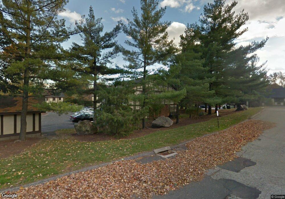
22 Andover Ct Brookfield, CT 06804
Estimated Value: $249,000 - $309,000
2
Beds
1
Bath
900
Sq Ft
$317/Sq Ft
Est. Value
About This Home
This home is located at 22 Andover Ct, Brookfield, CT 06804 and is currently estimated at $284,967, approximately $316 per square foot. 22 Andover Ct is a home located in Fairfield County with nearby schools including Whisconier Middle School, Brookfield High School, and Christian Life Academy.
Ownership History
Date
Name
Owned For
Owner Type
Purchase Details
Closed on
Jul 18, 2017
Sold by
Pietronuto Robert
Bought by
Grineberg Joann
Current Estimated Value
Home Financials for this Owner
Home Financials are based on the most recent Mortgage that was taken out on this home.
Original Mortgage
$139,500
Outstanding Balance
$116,060
Interest Rate
3.94%
Mortgage Type
Purchase Money Mortgage
Estimated Equity
$168,907
Purchase Details
Closed on
May 15, 2013
Sold by
Pietronuto Joseph A and Pietronuto Catherine
Bought by
T J
Purchase Details
Closed on
May 2, 1984
Bought by
Joseph & C Pietronuto Ft
Create a Home Valuation Report for This Property
The Home Valuation Report is an in-depth analysis detailing your home's value as well as a comparison with similar homes in the area
Home Values in the Area
Average Home Value in this Area
Purchase History
| Date | Buyer | Sale Price | Title Company |
|---|---|---|---|
| Grineberg Joann | $155,000 | -- | |
| Grineberg Joann | $155,000 | -- | |
| T J | -- | -- | |
| Pietronuto | -- | -- | |
| Joseph & C Pietronuto Ft | -- | -- |
Source: Public Records
Mortgage History
| Date | Status | Borrower | Loan Amount |
|---|---|---|---|
| Open | Joseph & C Pietronuto Ft | $139,500 | |
| Closed | Joseph & C Pietronuto Ft | $139,500 |
Source: Public Records
Tax History
| Year | Tax Paid | Tax Assessment Tax Assessment Total Assessment is a certain percentage of the fair market value that is determined by local assessors to be the total taxable value of land and additions on the property. | Land | Improvement |
|---|---|---|---|---|
| 2025 | $2,940 | $101,630 | $0 | $101,630 |
| 2024 | $2,835 | $101,630 | $0 | $101,630 |
| 2023 | $2,730 | $101,630 | $0 | $101,630 |
| 2022 | $2,630 | $101,630 | $0 | $101,630 |
| 2021 | $2,877 | $95,580 | $0 | $95,580 |
| 2020 | $2,834 | $95,580 | $0 | $95,580 |
| 2019 | $2,785 | $95,580 | $0 | $95,580 |
| 2018 | $2,709 | $95,580 | $0 | $95,580 |
| 2017 | $2,608 | $95,580 | $0 | $95,580 |
| 2016 | $2,892 | $109,530 | $0 | $109,530 |
| 2015 | $2,815 | $109,530 | $0 | $109,530 |
| 2014 | $2,815 | $109,530 | $0 | $109,530 |
Source: Public Records
Map
Nearby Homes
- 11 Eden Ct Unit 11
- 4 Arlington Ct
- 28 Rollingwood Dr
- 16 Homestead Ln
- 12 Oak Crest Dr
- 7 Homestead Ln
- 8 Marilyn Rd
- 43 Bramble Way
- 8 Bramble Way
- 6 Bramble Way Unit Homesite 30
- 6 Bramble Way
- 2 Bramble Way
- 2 Bramble Way Unit Homesite 28
- 8 Elmwood Ct
- 8 Elmwood Ct Unit Homesite 19
- 3 Elmwood Ct
- 3 Elmwood Ct Unit Homesite 26
- 21 Bramble Way Unit Homesite 68
- 1805 Cypress Dr
- 1902 Cypress Dr Unit 1902
- 22 Andover Ct Unit 22
- 24 Andover Ct
- 20 Andover Ct
- 19 Andover Ct
- 17 Andover Ct
- 17 Andover Ct Unit 17
- 16 Andover Ct
- 15 Andover Ct
- 15 Andover Ct Unit 15
- 14 Andover Ct
- 14 Andover Ct Unit 14
- 13 Andover Ct
- 26 Canterbury Ct
- 26 Canterbury Ct Unit 26
- 24 Canterbury Ct
- 24 Canterbury Ct Unit 24
- 22 Canterbury Ct
- 20 Canterbury Ct
- 28 Andover Ct
- 28 Andover Ct Unit 28
Your Personal Tour Guide
Ask me questions while you tour the home.