22 Appian Way Unit 11 Coventry, CT 06238
Estimated Value: $699,000 - $837,000
4
Beds
3
Baths
2,972
Sq Ft
$260/Sq Ft
Est. Value
About This Home
This home is located at 22 Appian Way Unit 11, Coventry, CT 06238 and is currently estimated at $773,734, approximately $260 per square foot. 22 Appian Way Unit 11 is a home located in Tolland County with nearby schools including Coventry Grammar School, George Hersey Robertson School, and Capt. Nathan Hale School.
Ownership History
Date
Name
Owned For
Owner Type
Purchase Details
Closed on
Jun 12, 2019
Sold by
Shaddy Pamela Kay Est and Shadday
Bought by
Li Rong
Current Estimated Value
Home Financials for this Owner
Home Financials are based on the most recent Mortgage that was taken out on this home.
Original Mortgage
$392,000
Outstanding Balance
$343,965
Interest Rate
4%
Mortgage Type
Purchase Money Mortgage
Estimated Equity
$429,769
Purchase Details
Closed on
Jan 20, 2015
Sold by
Imperial Development L
Bought by
Shadday Christopher R and Shadday Pamela
Home Financials for this Owner
Home Financials are based on the most recent Mortgage that was taken out on this home.
Original Mortgage
$335,900
Interest Rate
3.92%
Create a Home Valuation Report for This Property
The Home Valuation Report is an in-depth analysis detailing your home's value as well as a comparison with similar homes in the area
Home Values in the Area
Average Home Value in this Area
Purchase History
| Date | Buyer | Sale Price | Title Company |
|---|---|---|---|
| Li Rong | $490,000 | -- | |
| Li Rong | $490,000 | -- | |
| Li Rong | $490,000 | -- | |
| Shadday Christopher R | $419,900 | -- | |
| Shadday Christopher R | $419,900 | -- | |
| Shadday Christopher R | $419,900 | -- |
Source: Public Records
Mortgage History
| Date | Status | Borrower | Loan Amount |
|---|---|---|---|
| Open | Li Rong | $392,000 | |
| Closed | Li Rong | $392,000 | |
| Previous Owner | Shadday Christopher R | $335,900 |
Source: Public Records
Tax History Compared to Growth
Tax History
| Year | Tax Paid | Tax Assessment Tax Assessment Total Assessment is a certain percentage of the fair market value that is determined by local assessors to be the total taxable value of land and additions on the property. | Land | Improvement |
|---|---|---|---|---|
| 2025 | $11,372 | $478,600 | $93,100 | $385,500 |
| 2024 | $11,042 | $331,500 | $75,700 | $255,800 |
| 2023 | $10,522 | $331,500 | $75,700 | $255,800 |
| 2022 | $10,326 | $331,500 | $75,700 | $255,800 |
| 2021 | $10,326 | $331,500 | $75,700 | $255,800 |
| 2020 | $10,333 | $331,500 | $75,700 | $255,800 |
| 2019 | $4,770 | $331,500 | $75,700 | $255,800 |
| 2018 | $9,924 | $308,200 | $73,100 | $235,100 |
| 2017 | $9,862 | $308,200 | $73,100 | $235,100 |
| 2016 | $9,538 | $305,700 | $73,100 | $232,600 |
| 2015 | $9,026 | $289,300 | $73,100 | $216,200 |
| 2014 | $8,789 | $308,700 | $82,500 | $226,200 |
Source: Public Records
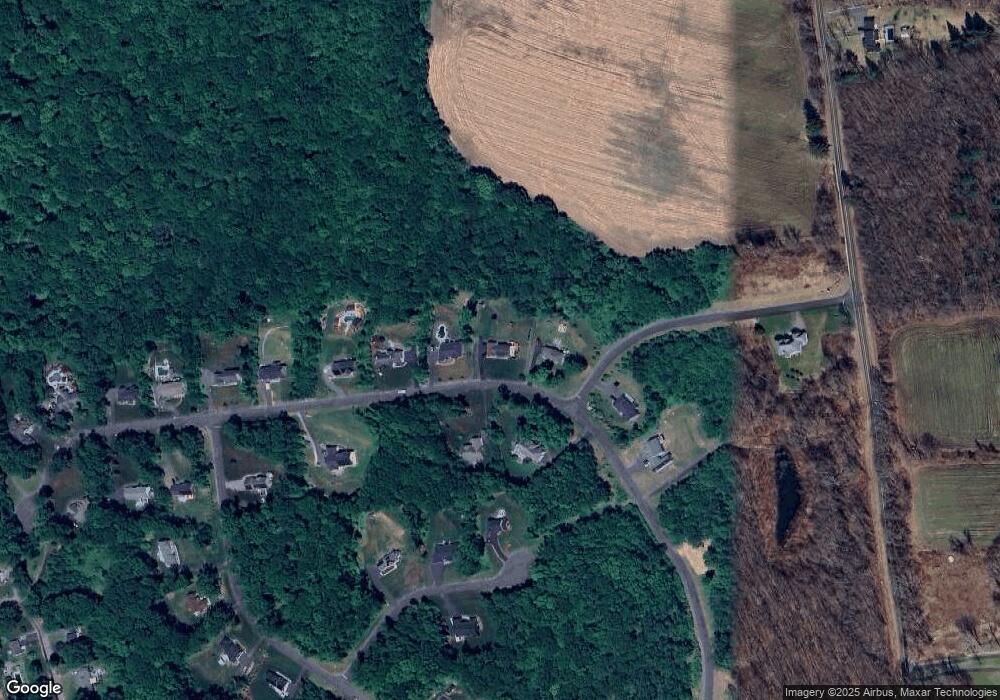
Map
Nearby Homes
- 395 Grant Hill (Mill Race Drive) Lot #21 Rd
- 395 Grant Hill Rd Unit Lot21
- 54 Wolf Hill (Lot#49) Rd
- 37 Wolf Hill Rd Unit Lot 40
- 37 Wolf Hill Lot (#40) Rd
- 54 Wolf Hill Rd Unit TBB
- 285 Carpenter Rd
- 0 Boston Turnpike Unit 24128587
- 66 Barnsbee Ln
- 54 Barbara Dr
- 1295 N River Rd
- 16 Julia Rd
- 864 Boston Turnpike
- 65 Bolton Branch Rd
- 331 Woodmont Dr
- 471 Goose Ln
- 38 John Paul Ln
- 5 Laurelwood Ln Unit lot 16
- 28 Columbine Rd
- 64 Columbine Rd
- 22 Appian Way
- lot 18 Appian Way
- 12 Appian Way
- 17 Appian Way
- 34 Appian Way
- 15 Appian Way
- 29 Appian Way
- 36 Appian Way
- Lot 10 Appian Way
- 21 Mill Race Rd
- 75 Millrace Rd
- 75 Mill Race Rd
- 10 Wolf Hill Rd
- 9 Wolf Hill Rd
- 56 Appian Way
- 64 Appian Way Unit 8
- 64 Appian Way
- 12 Wolf Hill (Lot#45) Rd
- 57 Carnic Alps Rd
- 15 Wolf Hill Rd