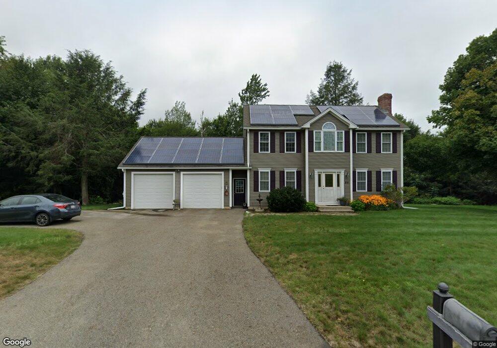
22 Arline Dr Rutland, MA 01543
Estimated Value: $539,000 - $603,000
3
Beds
3
Baths
1,768
Sq Ft
$329/Sq Ft
Est. Value
About This Home
This home is located at 22 Arline Dr, Rutland, MA 01543 and is currently estimated at $582,410, approximately $329 per square foot. 22 Arline Dr is a home located in Worcester County with nearby schools including Wachusett Regional High School.
Ownership History
Date
Name
Owned For
Owner Type
Purchase Details
Closed on
Aug 25, 2009
Sold by
King Dev Llc
Bought by
Hultquist Brian A and Hultquist Dorothy E
Current Estimated Value
Home Financials for this Owner
Home Financials are based on the most recent Mortgage that was taken out on this home.
Original Mortgage
$239,920
Outstanding Balance
$156,907
Interest Rate
5.19%
Mortgage Type
Purchase Money Mortgage
Estimated Equity
$425,503
Create a Home Valuation Report for This Property
The Home Valuation Report is an in-depth analysis detailing your home's value as well as a comparison with similar homes in the area
Home Values in the Area
Average Home Value in this Area
Purchase History
| Date | Buyer | Sale Price | Title Company |
|---|---|---|---|
| Hultquist Brian A | $299,900 | -- |
Source: Public Records
Mortgage History
| Date | Status | Borrower | Loan Amount |
|---|---|---|---|
| Open | Hultquist Brian A | $239,920 |
Source: Public Records
Tax History Compared to Growth
Tax History
| Year | Tax Paid | Tax Assessment Tax Assessment Total Assessment is a certain percentage of the fair market value that is determined by local assessors to be the total taxable value of land and additions on the property. | Land | Improvement |
|---|---|---|---|---|
| 2025 | $7,139 | $501,300 | $118,900 | $382,400 |
| 2024 | $6,752 | $455,300 | $107,300 | $348,000 |
| 2023 | $6,244 | $455,100 | $101,100 | $354,000 |
| 2022 | $5,864 | $371,400 | $85,800 | $285,600 |
| 2021 | $5,728 | $343,000 | $85,800 | $257,200 |
| 2020 | $5,700 | $323,700 | $80,900 | $242,800 |
| 2019 | $5,623 | $314,300 | $74,100 | $240,200 |
| 2018 | $5,412 | $298,500 | $74,100 | $224,400 |
| 2017 | $5,469 | $298,500 | $74,100 | $224,400 |
| 2016 | $5,096 | $293,400 | $70,500 | $222,900 |
| 2015 | $5,034 | $285,200 | $70,500 | $214,700 |
| 2014 | $4,880 | $285,200 | $70,500 | $214,700 |
Source: Public Records
Map
Nearby Homes
- 6 Madisyn Ave
- 11 Arline Dr
- 2 Simon Davis Dr
- 22 Thurston Hill Rd
- 35 Brintnal Dr
- 6 Weaver Farm Rd
- 40 Brunelle Dr
- 17 Clealand Cir
- 34 Marjorie Ln
- 101 Brintnal Dr
- 0 Paddock Rd
- 569 E County Rd
- 4 Paddock Rd
- 11 Valley View Cir
- 23 Miles Rd
- 32 Pommogussett Rd Unit 1
- 51 Woodside Ave
- 47 Woodside Ave
- 6 Ten Rod Rd
- 10 Soucy Dr
- 26 Arline Dr
- 20 Arline Dr
- 23 Arline Dr
- 21 Arline Dr
- 19 Arline Dr
- 13 Arline Dr
- 13 Arline Dr
- 18 Arline Dr
- 17 Arline Dr
- 24 Arline Dr
- 9 Kyle Hunter Cir
- 19 Kyle Hunter Cir
- 17 Kyle Hunter Cir
- 15 Kyle Hunter Cir
- 14 Kyle Hunter Cir
- 14 Kyle Hunter Cir Unit 14
- 7 Kyle Hunter Cir Unit 7
- 16 Arline Dr
- lot 26 Arline Dr
- 7 Madisyn Ave