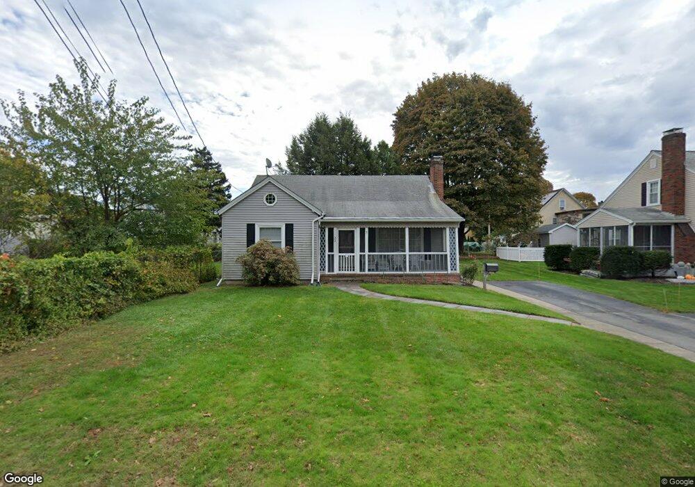
22 Arnold St Marlborough, MA 01752
French Hill NeighborhoodEstimated Value: $497,546 - $582,000
3
Beds
1
Bath
1,715
Sq Ft
$320/Sq Ft
Est. Value
About This Home
This home is located at 22 Arnold St, Marlborough, MA 01752 and is currently estimated at $548,887, approximately $320 per square foot. 22 Arnold St is a home located in Middlesex County with nearby schools including Marlborough High School, Advanced Math & Science Academy, and New Covenant Christian School.
Ownership History
Date
Name
Owned For
Owner Type
Purchase Details
Closed on
Jul 3, 1990
Sold by
Boule Ernest H
Bought by
Falcioni Patricia L
Current Estimated Value
Home Financials for this Owner
Home Financials are based on the most recent Mortgage that was taken out on this home.
Original Mortgage
$95,000
Interest Rate
10.27%
Mortgage Type
Purchase Money Mortgage
Create a Home Valuation Report for This Property
The Home Valuation Report is an in-depth analysis detailing your home's value as well as a comparison with similar homes in the area
Home Values in the Area
Average Home Value in this Area
Purchase History
| Date | Buyer | Sale Price | Title Company |
|---|---|---|---|
| Falcioni Patricia L | $136,500 | -- |
Source: Public Records
Mortgage History
| Date | Status | Borrower | Loan Amount |
|---|---|---|---|
| Closed | Falcioni Patricia L | $93,500 | |
| Closed | Falcioni Patricia L | $95,000 |
Source: Public Records
Tax History
| Year | Tax Paid | Tax Assessment Tax Assessment Total Assessment is a certain percentage of the fair market value that is determined by local assessors to be the total taxable value of land and additions on the property. | Land | Improvement |
|---|---|---|---|---|
| 2025 | $4,464 | $452,700 | $170,700 | $282,000 |
| 2024 | $4,309 | $420,800 | $155,200 | $265,600 |
| 2023 | $4,401 | $381,400 | $121,500 | $259,900 |
| 2022 | $4,131 | $314,900 | $115,700 | $199,200 |
| 2021 | $4,111 | $297,900 | $94,300 | $203,600 |
| 2020 | $4,084 | $288,000 | $91,800 | $196,200 |
| 2019 | $3,983 | $283,100 | $90,000 | $193,100 |
| 2018 | $3,950 | $270,000 | $77,900 | $192,100 |
| 2017 | $3,828 | $249,900 | $77,900 | $172,000 |
| 2016 | $3,768 | $245,600 | $77,900 | $167,700 |
| 2015 | $3,787 | $240,300 | $81,800 | $158,500 |
Source: Public Records
Map
Nearby Homes
- 198 Chestnut St
- 30 Franklin St
- 68 Elm St Unit B
- 34 Brigham Ave
- 7 Versailles St
- 76 Broad St
- 37 Gibbon St
- 30 Winter Ave
- 8 Saint Mary's Way Unit 8
- 45 Lakeside Ave Unit 31
- 21 Norwood St
- 287 Elm St
- 273 W Main St Unit B12
- 15 Hayden St
- 27 Jefferson St
- 27 Jefferson St Unit 204
- 270 Main St
- 53 Hunter Ave
- 272 Lincoln St Unit 301
- 272 Lincoln St Unit 302
Your Personal Tour Guide
Ask me questions while you tour the home.