22 Ashwood Ln Reeds Spring, MO 65737
Estimated Value: $459,000 - $917,000
--
Bed
--
Bath
2,017
Sq Ft
$334/Sq Ft
Est. Value
About This Home
This home is located at 22 Ashwood Ln, Reeds Spring, MO 65737 and is currently estimated at $674,534, approximately $334 per square foot. 22 Ashwood Ln is a home located in Stone County with nearby schools including Reeds Spring Primary School, Reeds Spring Elementary School, and Reeds Spring Middle School.
Ownership History
Date
Name
Owned For
Owner Type
Purchase Details
Closed on
Mar 6, 2018
Sold by
Kirkpatrick Kevin and Kirkpatrick Nora
Bought by
Wade Carl A and Wade Nancy Ra
Current Estimated Value
Purchase Details
Closed on
Oct 7, 2008
Sold by
Bussone John S and Bussone Marlene F
Bought by
Kirkpatrick Kevin and Kirkpatrick Nora
Purchase Details
Closed on
Apr 28, 2005
Sold by
Forest Lake Development Llc
Bought by
Bussone John S and Bussone Marlene F
Home Financials for this Owner
Home Financials are based on the most recent Mortgage that was taken out on this home.
Original Mortgage
$69,300
Interest Rate
7.5%
Mortgage Type
Unknown
Create a Home Valuation Report for This Property
The Home Valuation Report is an in-depth analysis detailing your home's value as well as a comparison with similar homes in the area
Home Values in the Area
Average Home Value in this Area
Purchase History
| Date | Buyer | Sale Price | Title Company |
|---|---|---|---|
| Wade Carl A | -- | None Available | |
| Kirkpatrick Kevin | -- | None Available | |
| Bussone John S | -- | -- |
Source: Public Records
Mortgage History
| Date | Status | Borrower | Loan Amount |
|---|---|---|---|
| Previous Owner | Bussone John S | $69,300 |
Source: Public Records
Tax History Compared to Growth
Tax History
| Year | Tax Paid | Tax Assessment Tax Assessment Total Assessment is a certain percentage of the fair market value that is determined by local assessors to be the total taxable value of land and additions on the property. | Land | Improvement |
|---|---|---|---|---|
| 2024 | $5,048 | $103,060 | -- | -- |
| 2023 | $202 | $4,120 | $0 | $0 |
| 2022 | $200 | $4,120 | $0 | $0 |
| 2021 | $203 | $4,120 | $0 | $0 |
| 2020 | $179 | $4,120 | $0 | $0 |
| 2019 | $178 | $4,120 | $0 | $0 |
| 2018 | $177 | $4,120 | $0 | $0 |
| 2017 | $178 | $4,120 | $0 | $0 |
| 2016 | $173 | $4,120 | $0 | $0 |
| 2015 | $173 | $4,120 | $0 | $0 |
| 2014 | $170 | $4,120 | $0 | $0 |
| 2012 | -- | $4,120 | $0 | $0 |
Source: Public Records
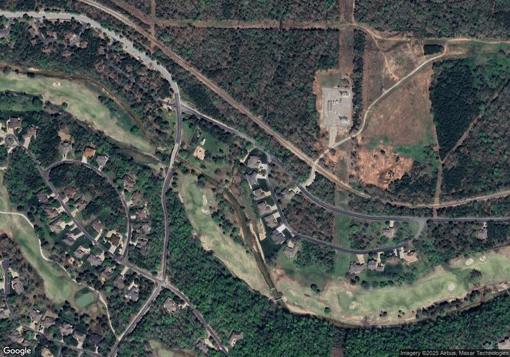
Map
Nearby Homes
- 801 Silvercliff Way
- Lot 30 Roark Branch Rd
- 000 Lot 8 Forest Lake 2nd Add
- 1105 Ledgestone Ln
- 1114 Ledgestone Ln
- 603 Stoney Kirk Cir
- Lot 13 Silvercliff Way
- 836 Silvercliff Way
- 1311 Stoneycreek Ln
- Lot 14 Silvercliff Way
- 60 Mayberry Cir
- 915 Silver Bluff Cir
- 909 Silver Bluff Cir
- 24 Baldknobber Dr Unit 18
- 844 Silvercliff
- 415 Silverwood Cir
- 0 Silvercliff Way
- 1410 Stoneycreek Cir
- Lot 9 Ledges Way
- Lot # 7 Ledges Way
- 30 Ashwood Ln
- 18 Ashwood Ln
- 10 Ashwood Ln
- Lot 254 Lakeside
- 94 Ashwood Ln
- 170 Roark Branch Dr
- 32 Ashwood Ln
- Lot 41 Forest Lake 1st
- 22 Ashwood Ln
- 0 Roark Branch Rd
- 0 Roark Branch Rd
- 144 Ashwood Ln
- Lot 26 Roark Branch Dr
- Lot 27 Roark Branch
- 000 Ashwood Ln
- Lot 26 Roark Branch
- Tbd Ashwood Ln
- Lot 26 Ashwood Ln
- 17 Ashwood Ln
- Lot 9 Ashwood Ln