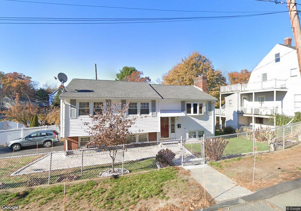
22 Atwood Ave Stoneham, MA 02180
Nobility Hill NeighborhoodEstimated Value: $694,000 - $758,896
3
Beds
2
Baths
1,484
Sq Ft
$496/Sq Ft
Est. Value
About This Home
This home is located at 22 Atwood Ave, Stoneham, MA 02180 and is currently estimated at $735,724, approximately $495 per square foot. 22 Atwood Ave is a home located in Middlesex County with nearby schools including Stoneham High School, St. Patrick Elementary School, and Greater Boston Academy.
Ownership History
Date
Name
Owned For
Owner Type
Purchase Details
Closed on
Apr 25, 2011
Sold by
Geronimo Elma C and Revelo Teresita T
Bought by
Geronimo Elma C and Ravelo Teresita T
Current Estimated Value
Purchase Details
Closed on
Nov 20, 1984
Bought by
Geronimo Elma C and Ravelo Teresita T
Create a Home Valuation Report for This Property
The Home Valuation Report is an in-depth analysis detailing your home's value as well as a comparison with similar homes in the area
Home Values in the Area
Average Home Value in this Area
Purchase History
| Date | Buyer | Sale Price | Title Company |
|---|---|---|---|
| Geronimo Elma C | -- | -- | |
| Geronimo Elma C | $120,000 | -- |
Source: Public Records
Mortgage History
| Date | Status | Borrower | Loan Amount |
|---|---|---|---|
| Previous Owner | Geronimo Elma C | $105,300 |
Source: Public Records
Tax History Compared to Growth
Tax History
| Year | Tax Paid | Tax Assessment Tax Assessment Total Assessment is a certain percentage of the fair market value that is determined by local assessors to be the total taxable value of land and additions on the property. | Land | Improvement |
|---|---|---|---|---|
| 2025 | $6,978 | $682,100 | $337,300 | $344,800 |
| 2024 | $6,689 | $631,600 | $310,600 | $321,000 |
| 2023 | $6,480 | $583,800 | $284,000 | $299,800 |
| 2022 | $5,598 | $537,800 | $257,400 | $280,400 |
| 2021 | $6,282 | $511,800 | $248,500 | $263,300 |
| 2020 | $5,433 | $503,500 | $233,600 | $269,900 |
| 2019 | $5,511 | $491,200 | $227,500 | $263,700 |
| 2018 | $5,149 | $439,700 | $199,000 | $240,700 |
| 2017 | $4,738 | $382,400 | $180,400 | $202,000 |
| 2016 | $4,629 | $364,500 | $180,400 | $184,100 |
| 2015 | $4,629 | $357,200 | $172,200 | $185,000 |
| 2014 | $4,062 | $301,100 | $131,200 | $169,900 |
Source: Public Records
Map
Nearby Homes
- 2 Stratton Dr Unit 1109
- 34 Warren St Unit 3
- 2 Archer Dr Unit 1
- 200 Ledgewood Dr Unit 505
- 100 Ledgewood Dr Unit 618
- 6 Stratton Dr Unit 404
- 222 Park St
- 2 Mason Way Unit 6524
- 6 Mason Way Unit 6324
- 10 Mason Way Unit 61
- 12 Cottage St
- 19 Mason Way Unit 75
- 17A 17 B Emerson
- 17 Emerson St Unit A
- 35 Grape St
- 8 Walnut St
- 5 Rockville Park
- 5-9 Rockville Park
- 19 Laurel Hill Ln
- 13 Fremont St Unit 13
- 24 Atwood Ave
- 2 Hill Ct Unit 2
- 2 Hillside Rd
- 19 Atwood Ave
- 26 Atwood Ave
- 18 Atwood Ave
- 11 W Hancock St
- 10 Glen Rd
- 3 Hillside Rd
- 3 Hillside Rd Unit b
- 3 Hillside Rd Unit 1
- 11 Atwood Ave
- 6 W Hancock St
- 57 W Hancock St
- 16 Atwood Ave
- 4 W Hancock St
- 9 Atwood Ave
- 9 Atwood Ave Unit 2
- 8 Hillside Rd
- 8 Glen Rd