22 Austin Ct Dahlonega, GA 30533
Estimated Value: $257,000 - $287,000
2
Beds
2
Baths
936
Sq Ft
$293/Sq Ft
Est. Value
About This Home
This home is located at 22 Austin Ct, Dahlonega, GA 30533 and is currently estimated at $273,998, approximately $292 per square foot. 22 Austin Ct is a home located in Lumpkin County with nearby schools including Clay County Middle School and Lumpkin County High School.
Ownership History
Date
Name
Owned For
Owner Type
Purchase Details
Closed on
Aug 12, 2010
Sold by
Federal National Loan Mortgage
Bought by
Poore Matthew
Current Estimated Value
Home Financials for this Owner
Home Financials are based on the most recent Mortgage that was taken out on this home.
Original Mortgage
$77,720
Outstanding Balance
$51,562
Interest Rate
4.61%
Mortgage Type
New Conventional
Estimated Equity
$222,436
Purchase Details
Closed on
May 4, 2010
Sold by
Wells Fargo Bank
Bought by
Federal National Loan Mortgage
Purchase Details
Closed on
May 14, 2004
Sold by
Albano Cheryl Marie
Bought by
Dressler Daniel A
Purchase Details
Closed on
Dec 21, 1998
Sold by
Widener Stephen G
Bought by
Albano Cheryl Marie
Purchase Details
Closed on
Aug 5, 1995
Sold by
Siegel Stanley
Bought by
Widener Stephen G
Purchase Details
Closed on
Mar 18, 1994
Sold by
Highland River Prop
Bought by
Siegel Stanley
Purchase Details
Closed on
Aug 1, 1983
Bought by
Highland River Prop
Create a Home Valuation Report for This Property
The Home Valuation Report is an in-depth analysis detailing your home's value as well as a comparison with similar homes in the area
Home Values in the Area
Average Home Value in this Area
Purchase History
| Date | Buyer | Sale Price | Title Company |
|---|---|---|---|
| Poore Matthew | $75,000 | -- | |
| Federal National Loan Mortgage | $84,000 | -- | |
| Dressler Daniel A | $98,000 | -- | |
| Albano Cheryl Marie | $69,900 | -- | |
| Widener Stephen G | $56,000 | -- | |
| Siegel Stanley | $1,000 | -- | |
| Highland River Prop | -- | -- |
Source: Public Records
Mortgage History
| Date | Status | Borrower | Loan Amount |
|---|---|---|---|
| Open | Poore Matthew | $77,720 |
Source: Public Records
Tax History Compared to Growth
Tax History
| Year | Tax Paid | Tax Assessment Tax Assessment Total Assessment is a certain percentage of the fair market value that is determined by local assessors to be the total taxable value of land and additions on the property. | Land | Improvement |
|---|---|---|---|---|
| 2024 | $1,439 | $64,236 | $9,200 | $55,036 |
| 2023 | $962 | $60,464 | $9,200 | $51,264 |
| 2022 | $1,224 | $51,445 | $9,200 | $42,245 |
| 2021 | $1,073 | $43,926 | $9,200 | $34,726 |
| 2020 | $1,080 | $42,943 | $9,200 | $33,743 |
| 2019 | $1,090 | $42,943 | $9,200 | $33,743 |
| 2018 | $1,043 | $38,760 | $9,200 | $29,560 |
| 2017 | $1,020 | $37,271 | $9,200 | $28,071 |
| 2016 | $980 | $34,754 | $9,200 | $25,554 |
| 2015 | $924 | $34,754 | $9,200 | $25,554 |
| 2014 | $924 | $35,044 | $9,200 | $25,844 |
| 2013 | -- | $35,334 | $9,200 | $26,134 |
Source: Public Records
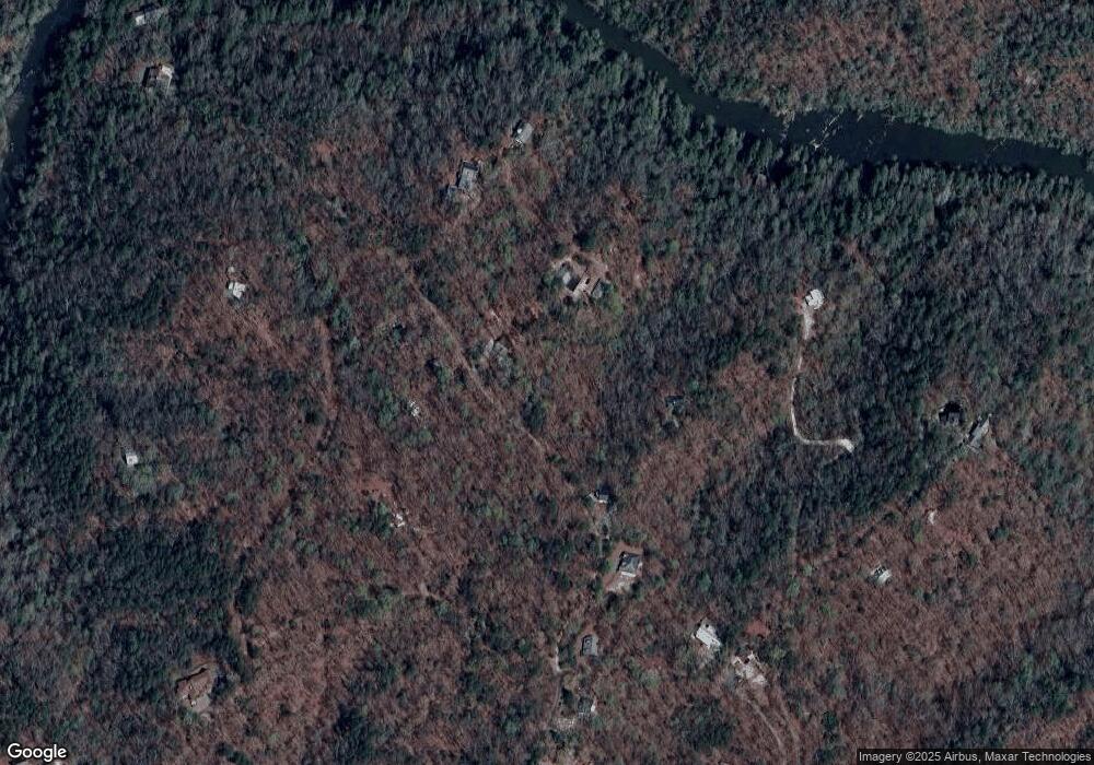
Map
Nearby Homes
- 83 Austin Ct
- 0 Arborwood Dr Unit 10645890
- 202 Indian Trail
- 128 Young Deer Dr
- 87 Tolleffs Trail
- 496 Beaver Dam Rd
- 0 Bearden Rd Unit 10598024
- 0 Bearden Rd Unit 7642996
- 380 Copper Mill Rd
- 300 Mountain Ridge Dr
- 0 Winters Mountain Rd Unit 7681054
- 0 Winters Mountain Rd Unit 10643431
- 1228 Winters Mountain Rd
- 0 Porter Springs Rd Unit 7685063
- 0 Porter Springs Rd Unit 10648400
- 03 Kate Rd
- 16 Welch Cir
- 165 Porter Springs Rd
- 45 Chestatee River Ridge
- 962 Winters Mountain Rd
- 1486 Pecks Mill Creek Rd
- 1374 Pecks Mill Creek Rd
- 84 Austin Ct
- 83 Arborwood Dr
- 1509 Pecks Mill Creek Rd
- 1360 Pecks Mill Creek Rd
- 1360 Pecks Mill Creek Rd
- 53 Log Cabin Rd
- 92 Log Cabin Rd
- 180 Arborwood Dr
- 0 Arborwood Dr Unit 6
- 0 Arborwood Dr Unit 6 8336924
- 0 Arborwood Dr Unit 8886927
- 0 Arborwood Dr Unit 8886925
- 0 Arborwood Dr Unit 3236853
- 0 Arborwood Dr Unit 7361819
- 0 Arborwood Dr Unit 7559574
- 1534 Pecks Mill Creek Rd
- 0 Petunia Dr
- 0 Petunia Dr Unit 18 8315174