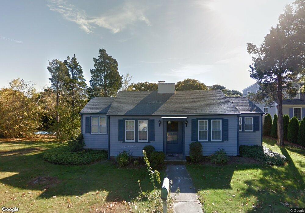
22 Benedict Rd Bourne, MA 2532
Estimated Value: $596,000 - $781,000
2
Beds
1
Bath
890
Sq Ft
$822/Sq Ft
Est. Value
About This Home
This home is located at 22 Benedict Rd, Bourne, MA 2532 and is currently estimated at $731,706, approximately $822 per square foot. 22 Benedict Rd is a home located in Barnstable County with nearby schools including Bourne High School, St Margaret Regional School, and Cadence Academy Preschool - Bourne.
Ownership History
Date
Name
Owned For
Owner Type
Purchase Details
Closed on
Jun 26, 2015
Sold by
Lowney Mary A and Mahoney Matthew
Bought by
Thumith Edward W and Thumith Janet R
Current Estimated Value
Purchase Details
Closed on
Oct 3, 1994
Sold by
Obrien Linda D
Bought by
Lowney Mary Ann
Home Financials for this Owner
Home Financials are based on the most recent Mortgage that was taken out on this home.
Original Mortgage
$112,000
Interest Rate
8.5%
Mortgage Type
Purchase Money Mortgage
Create a Home Valuation Report for This Property
The Home Valuation Report is an in-depth analysis detailing your home's value as well as a comparison with similar homes in the area
Purchase History
| Date | Buyer | Sale Price | Title Company |
|---|---|---|---|
| Thumith Edward W | $340,000 | -- | |
| Thumith Edward W | $340,000 | -- | |
| Lowney Mary Ann | $125,000 | -- | |
| Lowney Mary Ann | $125,000 | -- |
Source: Public Records
Mortgage History
| Date | Status | Borrower | Loan Amount |
|---|---|---|---|
| Previous Owner | Lowney Mary Ann | $93,354 | |
| Previous Owner | Lowney Mary Ann | $107,000 | |
| Previous Owner | Lowney Mary Ann | $112,000 |
Source: Public Records
Tax History
| Year | Tax Paid | Tax Assessment Tax Assessment Total Assessment is a certain percentage of the fair market value that is determined by local assessors to be the total taxable value of land and additions on the property. | Land | Improvement |
|---|---|---|---|---|
| 2025 | $5,957 | $762,800 | $555,600 | $207,200 |
| 2024 | $5,826 | $726,400 | $529,100 | $197,300 |
| 2023 | $5,664 | $642,900 | $468,300 | $174,600 |
| 2022 | $5,580 | $553,000 | $414,400 | $138,600 |
| 2021 | $6,233 | $578,700 | $452,500 | $126,200 |
| 2020 | $6,097 | $567,700 | $448,200 | $119,500 |
| 2019 | $1,792 | $561,000 | $448,200 | $112,800 |
| 2018 | $1,679 | $349,900 | $260,900 | $89,000 |
| 2017 | $3,860 | $374,800 | $293,700 | $81,100 |
| 2016 | $3,725 | $366,600 | $293,700 | $72,900 |
| 2015 | $3,692 | $366,600 | $293,700 | $72,900 |
Source: Public Records
Map
Nearby Homes
- 35 Benedict Rd
- 60 Bourne Neck Dr
- 5 Zoli Ln
- 203 County Rd
- 40-A Lafayette Ave
- 46 Holt Rd Unit B
- 46 Holt Rd
- 13 Laurel Hill Ct
- 4 Van Bummel Rd
- 3 Fairway Dr Unit F
- 5 Sea Knoll Ct
- 36B Starboard Dr Unit 36E
- 36B Starboard Dr Unit 36G
- 36B Starboard Dr Unit 36C
- 36B Starboard Dr Unit 36A
- 36B Starboard Dr Unit 36D
- 36B Starboard Dr Unit 36B
- 36B Starboard Dr Unit 36F
- 36B Starboard Dr Unit 36H
- 23 Starboard Dr Unit Lot 50
Your Personal Tour Guide
Ask me questions while you tour the home.