22 Bennington Way West Creek, NJ 08092
Eaglewood NeighborhoodEstimated Value: $943,000 - $1,046,000
4
Beds
3
Baths
3,835
Sq Ft
$262/Sq Ft
Est. Value
About This Home
This home is located at 22 Bennington Way, West Creek, NJ 08092 and is currently estimated at $1,004,460, approximately $261 per square foot. 22 Bennington Way is a home located in Ocean County with nearby schools including Eagleswood Elementary School, Pinelands Regional Junior High School, and Pinelands Regional High School.
Ownership History
Date
Name
Owned For
Owner Type
Purchase Details
Closed on
Dec 14, 2005
Current Estimated Value
Home Financials for this Owner
Home Financials are based on the most recent Mortgage that was taken out on this home.
Original Mortgage
$464,205
Outstanding Balance
$245,333
Interest Rate
5.37%
Mortgage Type
Fannie Mae Freddie Mac
Estimated Equity
$759,127
Create a Home Valuation Report for This Property
The Home Valuation Report is an in-depth analysis detailing your home's value as well as a comparison with similar homes in the area
Home Values in the Area
Average Home Value in this Area
Purchase History
| Date | Buyer | Sale Price | Title Company |
|---|---|---|---|
| -- | $618,900 | -- | |
| Tangolics Richard A | $618,941 | Fidelity National Title Insu |
Source: Public Records
Mortgage History
| Date | Status | Borrower | Loan Amount |
|---|---|---|---|
| Open | Tangolics Richard A | $464,205 |
Source: Public Records
Tax History Compared to Growth
Tax History
| Year | Tax Paid | Tax Assessment Tax Assessment Total Assessment is a certain percentage of the fair market value that is determined by local assessors to be the total taxable value of land and additions on the property. | Land | Improvement |
|---|---|---|---|---|
| 2025 | $14,968 | $543,700 | $164,300 | $379,400 |
| 2024 | $14,908 | $543,700 | $164,300 | $379,400 |
| 2023 | $14,533 | $543,700 | $164,300 | $379,400 |
| 2022 | $14,533 | $543,700 | $164,300 | $379,400 |
| 2021 | $14,457 | $543,700 | $164,300 | $379,400 |
| 2020 | $14,745 | $543,700 | $164,300 | $379,400 |
| 2019 | $14,299 | $543,700 | $164,300 | $379,400 |
| 2018 | $13,192 | $537,800 | $164,300 | $373,500 |
| 2017 | $13,160 | $537,800 | $164,300 | $373,500 |
| 2016 | $12,724 | $537,800 | $164,300 | $373,500 |
| 2015 | $12,224 | $537,800 | $164,300 | $373,500 |
| 2014 | $11,821 | $537,800 | $164,300 | $373,500 |
Source: Public Records
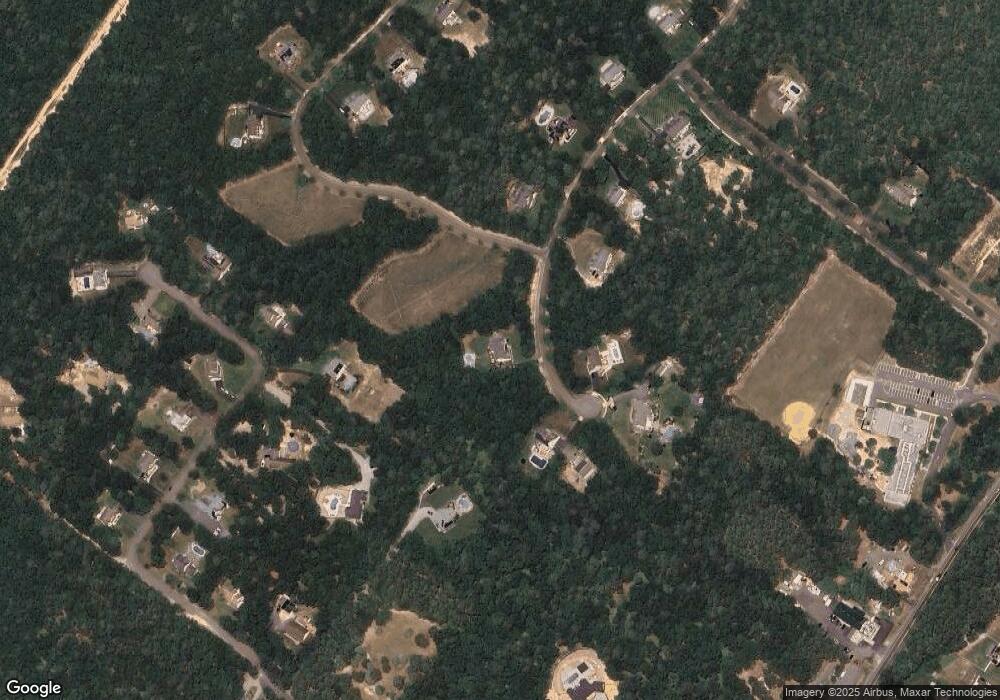
Map
Nearby Homes
- 9 Eagle Ridge Ln
- 6 Eagle Ridge Ln
- 26 Blue Heron Ln
- 191 A Coxs Ave
- 157 Coxs Ave
- 126 Bartlett Ave
- 0 Stone Rd Unit 22508801
- 34 Holly Rd
- 670 Julian Ct
- 0 Dinner Point Unit NJOC2036750
- 0 Dinner Point Ave Unit 22526583
- 637 Cedar Run Dock Rd
- 198 John St
- 548 Thomas Ave
- 1076 S Main St
- 11 Travis Way
- 519 Thomas Ave
- 896 U S 9
- 45 Sea Breeze Dr
- 322 Dock Rd
- 106 Laurel Hill Ln
- 21 Bennington Way
- 34 Bennington Way
- 4 Bennington Way
- 31 Bennington Way
- 108 Laurel Hill Ln
- 104 Laurel Hill Ln
- 5 Bennington Way
- 45 Bennington Way
- 44 Bennington Way
- 102 Laurel Hill Ln
- 26 Beckers Corner
- 107 Laurel Hill Ln
- 110 Laurel Hill Ln
- 166 Coxs Crossing Rd
- 46 Beckers Corner
- 37 Beckers Corner
- 59 Bennington Way
- 56 Bennington Way
- 105 Laurel Hill Ln