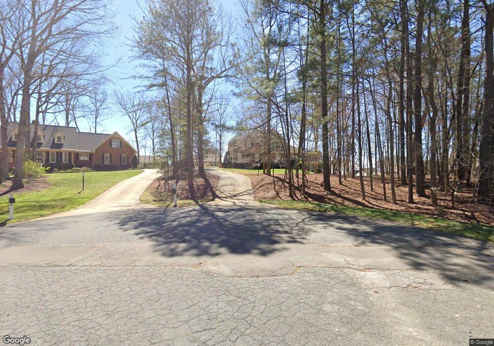
22 Bentgrass Ln Durham, NC 27705
Croasdaile NeighborhoodEstimated Value: $678,000 - $798,337
3
Beds
3
Baths
2,725
Sq Ft
$279/Sq Ft
Est. Value
About This Home
This home is located at 22 Bentgrass Ln, Durham, NC 27705 and is currently estimated at $759,334, approximately $278 per square foot. 22 Bentgrass Ln is a home located in Durham County with nearby schools including Hillandale Elementary School, George L Carrington Middle, and Riverside High School.
Ownership History
Date
Name
Owned For
Owner Type
Purchase Details
Closed on
Apr 12, 2019
Sold by
Averett W Vernon
Bought by
Stegmueller Daniel and Park Bora Clara
Current Estimated Value
Home Financials for this Owner
Home Financials are based on the most recent Mortgage that was taken out on this home.
Original Mortgage
$390,000
Outstanding Balance
$342,879
Interest Rate
4.3%
Mortgage Type
New Conventional
Estimated Equity
$416,455
Purchase Details
Closed on
Feb 28, 2005
Sold by
Welborn Reich L and Welborn Martha H
Bought by
Averett W Vernon
Create a Home Valuation Report for This Property
The Home Valuation Report is an in-depth analysis detailing your home's value as well as a comparison with similar homes in the area
Home Values in the Area
Average Home Value in this Area
Purchase History
| Date | Buyer | Sale Price | Title Company |
|---|---|---|---|
| Stegmueller Daniel | $486,000 | None Available | |
| Averett W Vernon | $67,500 | -- |
Source: Public Records
Mortgage History
| Date | Status | Borrower | Loan Amount |
|---|---|---|---|
| Open | Stegmueller Daniel | $390,000 |
Source: Public Records
Tax History
| Year | Tax Paid | Tax Assessment Tax Assessment Total Assessment is a certain percentage of the fair market value that is determined by local assessors to be the total taxable value of land and additions on the property. | Land | Improvement |
|---|---|---|---|---|
| 2025 | $7,935 | $800,438 | $174,000 | $626,438 |
| 2024 | $5,507 | $394,774 | $78,480 | $316,294 |
| 2023 | $5,171 | $394,774 | $78,480 | $316,294 |
| 2022 | $5,053 | $394,774 | $78,480 | $316,294 |
| 2021 | $5,029 | $394,774 | $78,480 | $316,294 |
| 2020 | $4,911 | $394,774 | $78,480 | $316,294 |
| 2019 | $4,911 | $419,756 | $78,480 | $341,276 |
| 2018 | $4,912 | $362,083 | $65,400 | $296,683 |
| 2017 | $4,875 | $362,083 | $65,400 | $296,683 |
| 2016 | $4,711 | $362,083 | $65,400 | $296,683 |
| 2015 | $4,851 | $350,456 | $55,493 | $294,963 |
| 2014 | $4,851 | $350,456 | $55,493 | $294,963 |
Source: Public Records
Map
Nearby Homes
- Collins Plan at Stonewood Estates - Legacy
- Mitchell Plan at Stonewood Estates - Landmark
- Fisher Plan at Stonewood Estates - Landmark
- Hatteras Plan at Stonewood Estates - Landmark
- Winston Plan at Stonewood Estates - Landmark
- 524 Soapstone Dr
- 1217 Opal Ln
- 1221 Opal Ln
- 1229 Opal Ln
- 2104 Skipping Stone Dr
- 605 Blackwood Ct
- 3838 Shoccoree Dr
- 6 Webster Ct
- 4408 Cheshire Ct
- 3710 Dairy Pond Place
- 6 Astor Ct
- 4 Astor Ct
- 3737 Medford Rd
- 3716 Medford Rd
- 1214 E Oak Dr
Your Personal Tour Guide
Ask me questions while you tour the home.