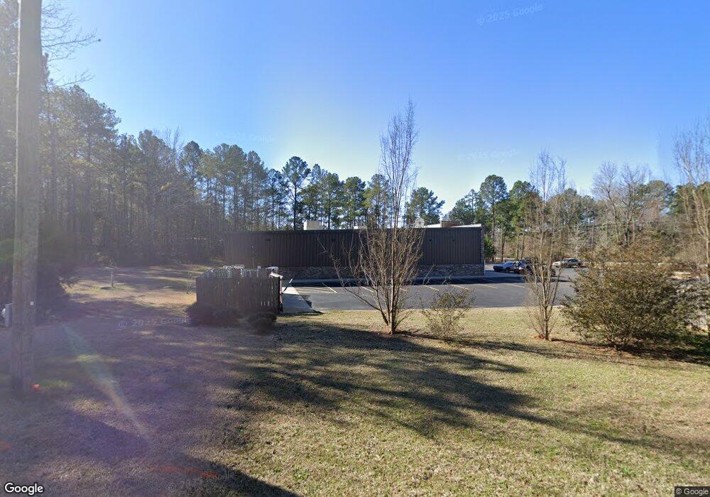
22 Berkeley Rd Carlton, GA 30627
Estimated Value: $2,162,647
--
Bed
--
Bath
7,473
Sq Ft
$289/Sq Ft
Est. Value
About This Home
This home is located at 22 Berkeley Rd, Carlton, GA 30627 and is currently estimated at $2,162,647, approximately $289 per square foot. 22 Berkeley Rd is a home with nearby schools including Madison County High School.
Ownership History
Date
Name
Owned For
Owner Type
Purchase Details
Closed on
Jun 4, 2018
Sold by
Sw Carlton Llc
Bought by
Rp 3 Llc
Current Estimated Value
Purchase Details
Closed on
Aug 10, 2017
Sold by
Smith Hugh A
Bought by
Sw Carlton Llc
Home Financials for this Owner
Home Financials are based on the most recent Mortgage that was taken out on this home.
Original Mortgage
$833,000
Interest Rate
4.03%
Mortgage Type
Commercial
Purchase Details
Closed on
Jan 1, 1990
Bought by
Smith Hugh A
Create a Home Valuation Report for This Property
The Home Valuation Report is an in-depth analysis detailing your home's value as well as a comparison with similar homes in the area
Home Values in the Area
Average Home Value in this Area
Purchase History
| Date | Buyer | Sale Price | Title Company |
|---|---|---|---|
| Rp 3 Llc | $1,171,556 | -- | |
| Rp 3 Llc | $1,171,556 | -- | |
| Sw Carlton Llc | -- | -- | |
| Sw Carlton Llc | $40,000 | -- | |
| Sw Carlton Llc | -- | -- | |
| Sw Carlton Llc | $40,000 | -- | |
| Smith Hugh A | $35,000 | -- | |
| Smith Hugh A | $35,000 | -- |
Source: Public Records
Mortgage History
| Date | Status | Borrower | Loan Amount |
|---|---|---|---|
| Previous Owner | Sw Carlton Llc | $833,000 |
Source: Public Records
Tax History Compared to Growth
Tax History
| Year | Tax Paid | Tax Assessment Tax Assessment Total Assessment is a certain percentage of the fair market value that is determined by local assessors to be the total taxable value of land and additions on the property. | Land | Improvement |
|---|---|---|---|---|
| 2025 | $6,533 | $257,115 | $25,240 | $231,875 |
| 2024 | $6,692 | $257,115 | $25,240 | $231,875 |
| 2023 | $6,692 | $257,115 | $25,240 | $231,875 |
| 2022 | $7,092 | $257,115 | $25,240 | $231,875 |
| 2021 | $7,849 | $257,115 | $25,240 | $231,875 |
| 2020 | $7,904 | $257,115 | $25,240 | $231,875 |
| 2019 | -- | $257,115 | $25,240 | $231,875 |
| 2018 | $8,019 | $257,115 | $25,240 | $231,875 |
| 2017 | $177 | $6,140 | $5,282 | $858 |
| 2016 | $150 | $5,227 | $4,369 | $858 |
Source: Public Records
Map
Nearby Homes
- 376 Paoli Rd
- 667 Paoli Rd
- 0 Broad River Rd Unit 10650042
- 6476 Georgia 72
- 6367 Highway 72 E
- 0 Berkley Rd Unit 10545423
- 00 River Rd
- 670 S Railroad Ave
- 724 Bertha Willis Rd
- 1163 Nickville Rd
- 0 River Rd Unit 10639917
- 88 S Railroad Ave
- 730 Osley Mill Rd
- 3614 Georgia 72
- 0 Stinchcomb Rd Unit 9 10587637
- 0 Stinchcomb Rd Unit 7635449
- 600 Piney Grove Rd
- 2087 Athens Hwy
- 0 Athens Hwy Unit 10627639
- 3334 Cherokee Rd
- 22 Berkeley Rd
- 7290 Highway 72 E
- 7290 Highway 72 E
- 0 Paoli Road & Hwy 72
- 0 Paoli Road and Hwy 72
- 0 Old Paoli Rd
- 00 Broad River Rd
- LOT 43 Broad River Rd
- 215 Berkeley Rd
- 215 Berkeley Rd
- 143 Paoli Rd
- 143 Paoli Rd
- 7181 Highway 72 E
- 145 Broad River Rd
- 7053 Highway 72 E
- 175 Paoli Rd
- 7822 Hwy 72e
- 7655 Highway 72 E
- 7035 Highway 72 E
- 7822 Highway 72 E