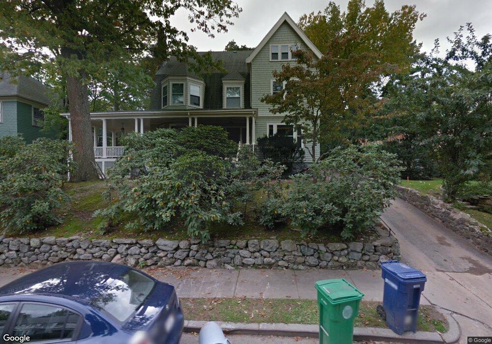
22 Berwick Rd Newton Center, MA 02459
Newton Highlands NeighborhoodEstimated Value: $2,622,528 - $3,139,000
6
Beds
4
Baths
3,846
Sq Ft
$748/Sq Ft
Est. Value
About This Home
This home is located at 22 Berwick Rd, Newton Center, MA 02459 and is currently estimated at $2,876,132, approximately $747 per square foot. 22 Berwick Rd is a home located in Middlesex County with nearby schools including Mason Rice Elementary School, Charles E Brown Middle School, and Newton South High School.
Ownership History
Date
Name
Owned For
Owner Type
Purchase Details
Closed on
Sep 1, 2010
Sold by
Kalin Tr Deborah and Klagsbrun Michael
Bought by
Miller Elizabeth A and Saldana Andres E
Current Estimated Value
Home Financials for this Owner
Home Financials are based on the most recent Mortgage that was taken out on this home.
Original Mortgage
$700,000
Outstanding Balance
$464,806
Interest Rate
4.55%
Mortgage Type
Purchase Money Mortgage
Estimated Equity
$2,411,326
Purchase Details
Closed on
Jul 23, 2009
Sold by
Kalin Deborah
Bought by
Kalin Tr Deborah and Klagsbrun Michael
Purchase Details
Closed on
Apr 30, 1997
Sold by
Asher William B and Asher Diane A
Bought by
Klagsburn Michael and Kalin Deborah
Home Financials for this Owner
Home Financials are based on the most recent Mortgage that was taken out on this home.
Original Mortgage
$350,000
Interest Rate
7.85%
Mortgage Type
Purchase Money Mortgage
Create a Home Valuation Report for This Property
The Home Valuation Report is an in-depth analysis detailing your home's value as well as a comparison with similar homes in the area
Home Values in the Area
Average Home Value in this Area
Purchase History
| Date | Buyer | Sale Price | Title Company |
|---|---|---|---|
| Miller Elizabeth A | $1,510,000 | -- | |
| Kalin Tr Deborah | -- | -- | |
| Klagsburn Michael | $644,000 | -- |
Source: Public Records
Mortgage History
| Date | Status | Borrower | Loan Amount |
|---|---|---|---|
| Open | Miller Elizabeth A | $700,000 | |
| Closed | Klagsburn Michael | $100,000 | |
| Previous Owner | Klagsburn Michael | $350,000 | |
| Previous Owner | Klagsburn Michael | $97,000 |
Source: Public Records
Tax History Compared to Growth
Tax History
| Year | Tax Paid | Tax Assessment Tax Assessment Total Assessment is a certain percentage of the fair market value that is determined by local assessors to be the total taxable value of land and additions on the property. | Land | Improvement |
|---|---|---|---|---|
| 2025 | $24,621 | $2,512,300 | $1,000,100 | $1,512,200 |
| 2024 | $23,806 | $2,439,100 | $971,000 | $1,468,100 |
| 2023 | $22,753 | $2,235,100 | $744,200 | $1,490,900 |
| 2022 | $21,771 | $2,069,500 | $689,100 | $1,380,400 |
| 2021 | $3,380 | $1,952,400 | $650,100 | $1,302,300 |
| 2020 | $20,383 | $1,952,400 | $650,100 | $1,302,300 |
| 2019 | $19,808 | $1,895,500 | $631,200 | $1,264,300 |
| 2018 | $3,114 | $1,769,500 | $570,500 | $1,199,000 |
| 2017 | $18,563 | $1,669,300 | $538,200 | $1,131,100 |
| 2016 | $17,754 | $1,560,100 | $503,000 | $1,057,100 |
| 2015 | $16,927 | $1,458,000 | $470,100 | $987,900 |
Source: Public Records
Map
Nearby Homes
- 956 Walnut St Unit 4
- 956 Walnut St Unit 7
- 956 Walnut St Unit 6
- 2 Raeburn Terrace
- 28 Wilson Cir Unit 28
- 32 Wilson Cir Unit 32
- 26 Wilson Cir Unit 26
- 1114 Beacon St Unit 106
- 1114 Beacon St Unit 203
- 1114 Beacon St Unit 111
- 1114 Beacon St Unit 104
- 1114 Beacon St Unit 207
- 1151 Walnut St Unit 205
- 1151 Walnut St Unit 405
- 1151 Walnut St Unit 207
- 54 Garland Rd
- 1597 Centre St Unit 1597
- 1597 Centre St
- 1623-1625 Centre St
- 1629 Centre St