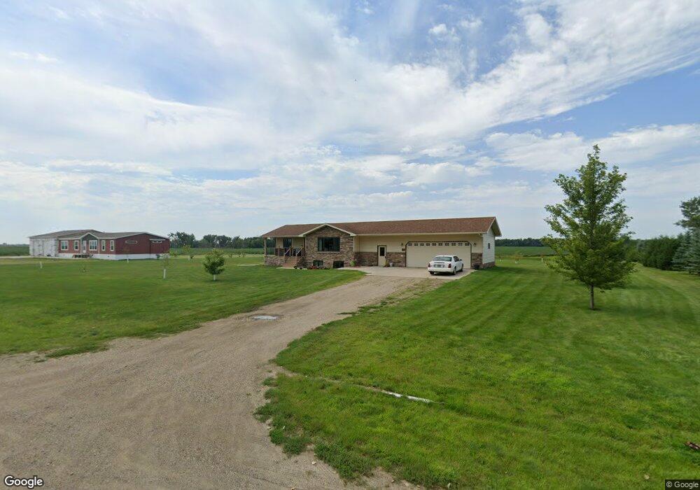
22 Bobcat Dr Gwinner, ND 58040
Estimated Value: $214,000 - $345,000
Studio
--
Bath
--
Sq Ft
--
Built
About This Home
This home is located at 22 Bobcat Dr, Gwinner, ND 58040 and is currently estimated at $285,570. 22 Bobcat Dr is a home with nearby schools including North Sargent Elementary School and North Sargent High School.
Ownership History
Date
Name
Owned For
Owner Type
Purchase Details
Closed on
Dec 12, 2013
Sold by
City Of Gwinner
Bought by
Ulven Kari L
Current Estimated Value
Home Financials for this Owner
Home Financials are based on the most recent Mortgage that was taken out on this home.
Original Mortgage
$167,244
Outstanding Balance
$124,459
Interest Rate
4.1%
Mortgage Type
New Conventional
Estimated Equity
$161,111
Create a Home Valuation Report for This Property
The Home Valuation Report is an in-depth analysis detailing your home's value as well as a comparison with similar homes in the area
Purchase History
| Date | Buyer | Sale Price | Title Company |
|---|---|---|---|
| Ulven Kari L | $209,055 | -- |
Source: Public Records
Mortgage History
| Date | Status | Borrower | Loan Amount |
|---|---|---|---|
| Open | Ulven Kari L | $167,244 |
Source: Public Records
Tax History
| Year | Tax Paid | Tax Assessment Tax Assessment Total Assessment is a certain percentage of the fair market value that is determined by local assessors to be the total taxable value of land and additions on the property. | Land | Improvement |
|---|---|---|---|---|
| 2024 | $4,997 | $129,250 | $6,000 | $123,250 |
| 2023 | $4,021 | $105,100 | $0 | $0 |
| 2022 | $3,863 | $107,537 | $0 | $0 |
| 2021 | $3,135 | $93,150 | $5,200 | $87,950 |
| 2020 | $3,121 | $90,850 | $5,200 | $85,650 |
| 2019 | $3,204 | $83,350 | $5,200 | $78,150 |
| 2018 | $3,138 | $88,294 | $5,845 | $82,449 |
| 2017 | $2,866 | $83,506 | $5,356 | $78,150 |
| 2016 | $2,642 | $84,300 | $5,200 | $79,100 |
| 2015 | $570 | $5,095 | $5,095 | $0 |
| 2014 | $498 | $5,200 | $5,200 | $0 |
| 2013 | $348 | $0 | $0 | $0 |
Source: Public Records
Map
Nearby Homes
- 216 1st St SE
- 213 5th St NW
- 304 Main St N
- 208 4th St NW
- 0 N Dakota 32
- 220 Lilac Cir
- 250 2nd St SW
- 13902 87th St SE
- 1204 Peterson Cir
- 1200 Peterson Cir
- 1203 Peterson Cir
- 1207 Peterson Cir
- 1206 Peterson Cir
- 1202 Peterson Cir
- 1201 Peterson Cir
- 1205 Peterson Cir
- 1209 Peterson Cir
- 600 Sebens Dr
- 508 Sebens Dr
- 516 Sebens Dr
Your Personal Tour Guide
Ask me questions while you tour the home.