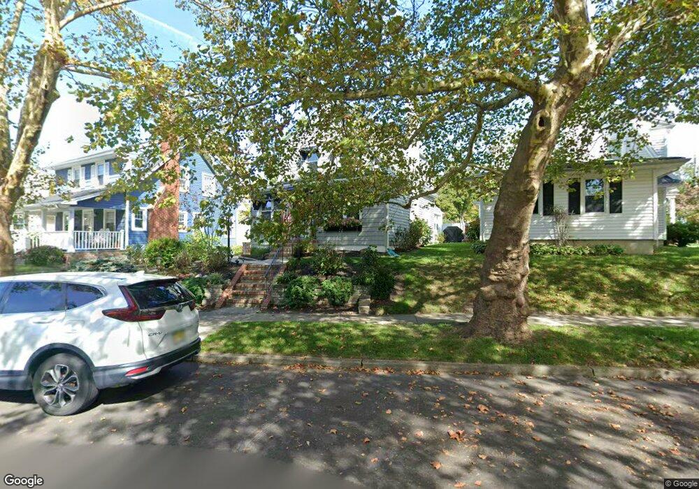
22 Boston Rd Neptune, NJ 07753
Estimated Value: $614,000 - $660,000
2
Beds
2
Baths
1,210
Sq Ft
$532/Sq Ft
Est. Value
About This Home
This home is located at 22 Boston Rd, Neptune, NJ 07753 and is currently estimated at $643,393, approximately $531 per square foot. 22 Boston Rd is a home located in Monmouth County with nearby schools including Woodrow Wilson Elementary School, St. Rose Grammar School, and St Rose High School.
Ownership History
Date
Name
Owned For
Owner Type
Purchase Details
Closed on
Apr 11, 2017
Sold by
Deblasio Maureen
Bought by
Rotunno Anthony and Rotunno Mark
Current Estimated Value
Purchase Details
Closed on
Sep 5, 2008
Sold by
Mushinsky John E
Bought by
Deblasio Maureen
Home Financials for this Owner
Home Financials are based on the most recent Mortgage that was taken out on this home.
Original Mortgage
$216,000
Outstanding Balance
$140,045
Interest Rate
6%
Mortgage Type
Purchase Money Mortgage
Estimated Equity
$503,348
Create a Home Valuation Report for This Property
The Home Valuation Report is an in-depth analysis detailing your home's value as well as a comparison with similar homes in the area
Home Values in the Area
Average Home Value in this Area
Purchase History
| Date | Buyer | Sale Price | Title Company |
|---|---|---|---|
| Rotunno Anthony | -- | None Available | |
| Deblasio Maureen | $270,000 | Multiple |
Source: Public Records
Mortgage History
| Date | Status | Borrower | Loan Amount |
|---|---|---|---|
| Open | Deblasio Maureen | $216,000 |
Source: Public Records
Tax History
| Year | Tax Paid | Tax Assessment Tax Assessment Total Assessment is a certain percentage of the fair market value that is determined by local assessors to be the total taxable value of land and additions on the property. | Land | Improvement |
|---|---|---|---|---|
| 2025 | $10,087 | $572,800 | $314,700 | $258,100 |
| 2024 | $8,917 | $535,400 | $288,500 | $246,900 |
Source: Public Records
Map
Nearby Homes
- 20 Laird Way
- 1 Railroad Ave Unit B6
- 1 Railroad Ave Unit B4
- 1 Railroad Ave Unit C1
- 1 Railroad Ave Unit B2
- 1 Railroad Ave Unit B1
- 1 Railroad Ave Unit B3
- 1 Railroad Ave Unit C3
- 1 Railroad Ave Unit B5
- 1 Railroad Ave Unit C2
- 16 Smock St
- 501 Main St Unit 40
- 1 Railroad Ave B3 Unit B3
- 1 Railroad Ave B5 Unit B5
- 526 W End Ave
- 801 Main St A4 Unit A4
- 801 Main St Unit A1
- 801 Main St Unit A5
- 801 Main St Unit A2
- 801 Main St Unit A3
Your Personal Tour Guide
Ask me questions while you tour the home.