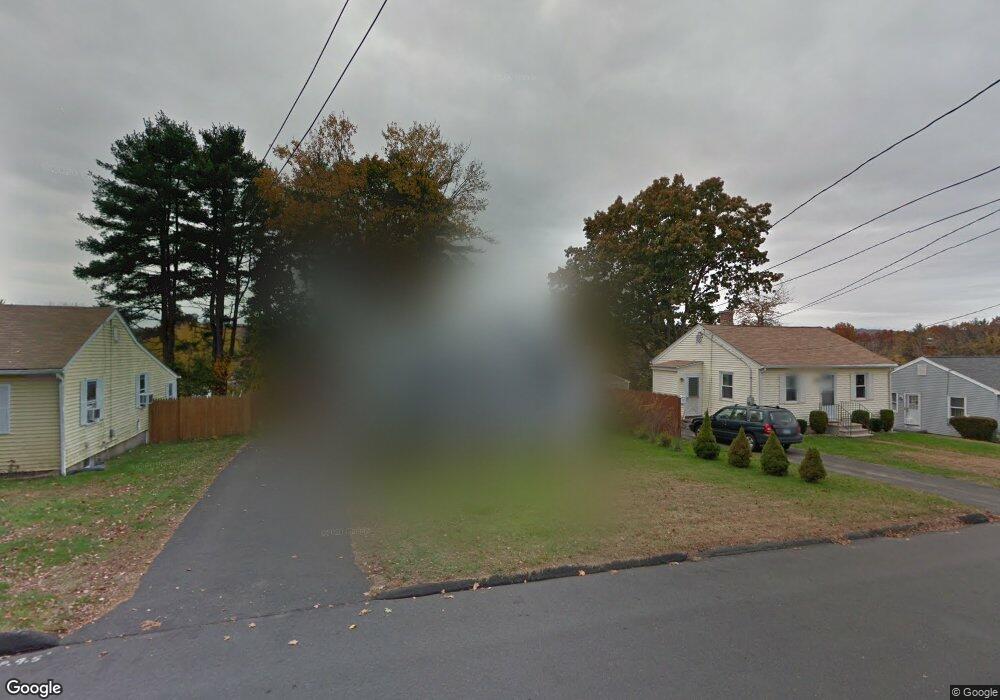
22 Britton Rd Bristol, CT 06010
Forestville NeighborhoodEstimated Value: $231,000 - $252,000
2
Beds
1
Bath
672
Sq Ft
$361/Sq Ft
Est. Value
About This Home
This home is located at 22 Britton Rd, Bristol, CT 06010 and is currently estimated at $242,788, approximately $361 per square foot. 22 Britton Rd is a home located in Hartford County with nearby schools including Northeast Middle School, Bristol Eastern High School, and Heritage Christian School.
Ownership History
Date
Name
Owned For
Owner Type
Purchase Details
Closed on
Feb 6, 2025
Sold by
Morneault Christina M
Bought by
Morneault James C
Current Estimated Value
Purchase Details
Closed on
Aug 29, 2003
Sold by
Pikora Lois A
Bought by
Morneault James C and Morneault Christina M
Home Financials for this Owner
Home Financials are based on the most recent Mortgage that was taken out on this home.
Original Mortgage
$87,000
Interest Rate
5.69%
Mortgage Type
Purchase Money Mortgage
Purchase Details
Closed on
Mar 7, 2002
Sold by
Village Homes Llc
Bought by
Pikora Lois A
Purchase Details
Closed on
Aug 17, 2001
Sold by
Schultz Stacey A
Bought by
Village Homes Llc
Create a Home Valuation Report for This Property
The Home Valuation Report is an in-depth analysis detailing your home's value as well as a comparison with similar homes in the area
Home Values in the Area
Average Home Value in this Area
Purchase History
| Date | Buyer | Sale Price | Title Company |
|---|---|---|---|
| Morneault James C | -- | None Available | |
| Morneault James C | -- | None Available | |
| Morneault James C | $118,000 | -- | |
| Morneault James C | $118,000 | -- | |
| Pikora Lois A | $105,900 | -- | |
| Pikora Lois A | $105,900 | -- | |
| Village Homes Llc | $60,000 | -- | |
| Village Homes Llc | $60,000 | -- |
Source: Public Records
Mortgage History
| Date | Status | Borrower | Loan Amount |
|---|---|---|---|
| Previous Owner | Village Homes Llc | $45,100 | |
| Previous Owner | Village Homes Llc | $87,000 |
Source: Public Records
Tax History
| Year | Tax Paid | Tax Assessment Tax Assessment Total Assessment is a certain percentage of the fair market value that is determined by local assessors to be the total taxable value of land and additions on the property. | Land | Improvement |
|---|---|---|---|---|
| 2025 | $3,473 | $102,900 | $35,630 | $67,270 |
| 2024 | $3,277 | $102,900 | $35,630 | $67,270 |
| 2023 | $3,123 | $102,900 | $35,630 | $67,270 |
| 2022 | $2,950 | $76,930 | $28,910 | $48,020 |
| 2021 | $2,950 | $76,930 | $28,910 | $48,020 |
| 2019 | $2,927 | $76,930 | $28,910 | $48,020 |
| 2018 | $2,837 | $76,930 | $28,910 | $48,020 |
| 2017 | $2,542 | $70,560 | $25,130 | $45,430 |
| 2016 | $2,542 | $70,560 | $25,130 | $45,430 |
Source: Public Records
Map
Nearby Homes
- 941 Farmington Ave
- 81 Lancaster Rd
- 20 Westchester Dr
- 10 Pine Ct
- 55 Beths Ave Unit 77
- 66 Beths Ave Unit 15
- 79 Beths Ave Unit 100
- 64 Fanway Ave
- 3 Sandra St
- 30 Adeline Ave
- 97 Jacqueline Dr
- 179 Mark St
- 1325 Farmington Ave Unit 52
- 46 Vance Rd
- 35 Jasmine St
- 63 Jerome Ave
- 135 Jerome Ave
- 206 Burton St
- 175 Moody St
- 92 Garfield Rd
- 16 Britton Rd
- 28 Britton Rd
- 10 Britton Rd
- 19 Britton Rd
- 34 Britton Rd
- 944 Farmington Ave
- 4 Britton Rd
- 21 Carol Dr
- 15 Carol Dr
- 29 Carol Dr
- 9 Carol Dr
- 37 Carol Dr
- 918 Farmington Ave
- 918 Farmington Ave Unit 2
- 80 Westchester Dr
- 74 Westchester Dr
- 68 Westchester Dr
- 950 Farmington Ave
- 92 Lancaster Rd
- 101 Lancaster Rd
Your Personal Tour Guide
Ask me questions while you tour the home.