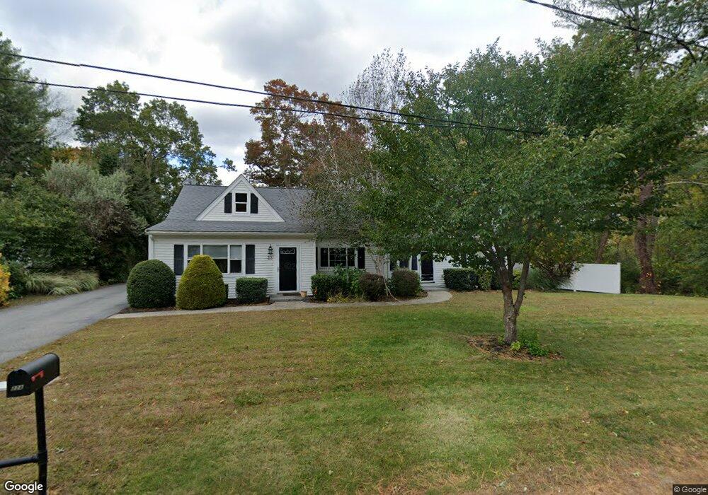
22 Broad Oak Way Hanover, MA 02339
Estimated Value: $786,000 - $867,000
5
Beds
3
Baths
2,820
Sq Ft
$293/Sq Ft
Est. Value
About This Home
This home is located at 22 Broad Oak Way, Hanover, MA 02339 and is currently estimated at $826,164, approximately $292 per square foot. 22 Broad Oak Way is a home located in Plymouth County with nearby schools including Hanover High School, Cadence Academy Preschool - Hanover, and Cardinal Cushing Centers.
Ownership History
Date
Name
Owned For
Owner Type
Purchase Details
Closed on
Oct 29, 2004
Sold by
Cruise John E and Cruise Rebecca Lynn
Bought by
Zona Leo and Zona Mary Ann
Current Estimated Value
Home Financials for this Owner
Home Financials are based on the most recent Mortgage that was taken out on this home.
Original Mortgage
$320,000
Outstanding Balance
$159,265
Interest Rate
5.74%
Mortgage Type
Purchase Money Mortgage
Estimated Equity
$666,899
Purchase Details
Closed on
Aug 1, 2000
Sold by
Cruise Joan L
Bought by
Cruise John E and Cruise Rebecca Lynn
Create a Home Valuation Report for This Property
The Home Valuation Report is an in-depth analysis detailing your home's value as well as a comparison with similar homes in the area
Home Values in the Area
Average Home Value in this Area
Purchase History
| Date | Buyer | Sale Price | Title Company |
|---|---|---|---|
| Zona Leo | $400,000 | -- | |
| Cruise John E | $245,000 | -- |
Source: Public Records
Mortgage History
| Date | Status | Borrower | Loan Amount |
|---|---|---|---|
| Open | Cruise John E | $320,000 | |
| Previous Owner | Cruise John E | $278,300 |
Source: Public Records
Tax History Compared to Growth
Tax History
| Year | Tax Paid | Tax Assessment Tax Assessment Total Assessment is a certain percentage of the fair market value that is determined by local assessors to be the total taxable value of land and additions on the property. | Land | Improvement |
|---|---|---|---|---|
| 2025 | $8,549 | $692,213 | $233,813 | $458,400 |
| 2024 | $8,888 | $692,213 | $233,813 | $458,400 |
| 2023 | $8,774 | $650,391 | $212,591 | $437,800 |
| 2022 | $9,425 | $618,061 | $201,961 | $416,100 |
| 2021 | $4,771 | $564,962 | $164,262 | $400,700 |
| 2020 | $5,198 | $318,724 | $173,924 | $144,800 |
| 2019 | $5,471 | $333,400 | $173,900 | $159,500 |
| 2018 | $5,740 | $352,600 | $173,900 | $178,700 |
| 2017 | $5,761 | $348,700 | $174,000 | $174,700 |
| 2016 | $6,545 | $388,200 | $158,200 | $230,000 |
| 2015 | $5,711 | $353,600 | $146,500 | $207,100 |
Source: Public Records
Map
Nearby Homes
- 186 Elm St
- 28 Old Shipyard Ln
- 180 Elm St
- 20 Meadow Brook Rd
- 55 Shipyard Ln
- 26 Church St
- 172 Washington St
- 14 Longwood Ln Unit 14
- 133 Brigantine Cir
- 114 Graham Hill Dr
- 7 Farmside Dr
- 46 Lorna Ave
- 261 Washington St
- 218 Schoosett St
- 265 Silver St
- 250 Center St
- 51 Cervelli Farm Dr
- 37 Dr
- 23 Cervelli Farm Dr
- 38 Cervelli Farm Dr
- 22 Broad Oak Way Unit B
- 22 Broad Oak Way Unit A
- 15 Broad Oak Way
- 262 Broadway
- 254 Broadway
- 254 Broadway Unit 1
- 37 Broad Oak Way
- 7 Broad Oak Way
- 280 Broadway
- 45 Broad Oak Way
- 248 Broadway
- 255 Broadway
- 273 Broadway
- 357 Columbia Rd Unit 2
- 357 Columbia Rd
- 53 Broad Oak Way
- 309 Columbia Rd
- 292 Broadway
- 333 Columbia Rd
- 61 Broad Oak Way