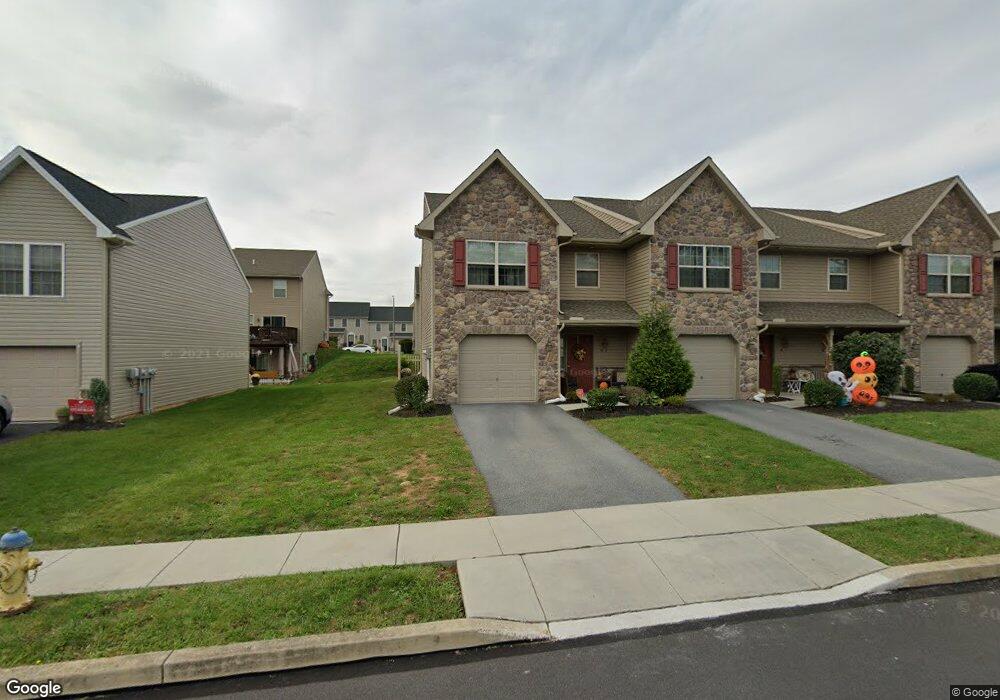
22 Brook Side Dr Carlisle, PA 17013
Estimated Value: $264,000 - $278,568
3
Beds
3
Baths
1,632
Sq Ft
$165/Sq Ft
Est. Value
About This Home
This home is located at 22 Brook Side Dr, Carlisle, PA 17013 and is currently estimated at $269,392, approximately $165 per square foot. 22 Brook Side Dr is a home located in Cumberland County with nearby schools including Mooreland Elementary School, Lamberton Middle School, and Carlisle Area High School.
Ownership History
Date
Name
Owned For
Owner Type
Purchase Details
Closed on
Dec 7, 2016
Sold by
Ayoub Paul and Ayoub Debrah
Bought by
Hershleder Garym and Hershleder Svetlana
Current Estimated Value
Home Financials for this Owner
Home Financials are based on the most recent Mortgage that was taken out on this home.
Original Mortgage
$124,800
Outstanding Balance
$100,836
Interest Rate
3.54%
Mortgage Type
New Conventional
Estimated Equity
$168,556
Purchase Details
Closed on
Jun 2, 2016
Sold by
Letort Meadows Associates A Pennsylvania
Bought by
Ayoub Paul and Ayoub Debrah
Create a Home Valuation Report for This Property
The Home Valuation Report is an in-depth analysis detailing your home's value as well as a comparison with similar homes in the area
Home Values in the Area
Average Home Value in this Area
Purchase History
| Date | Buyer | Sale Price | Title Company |
|---|---|---|---|
| Hershleder Garym | $156,000 | Weichert Closing Services Co | |
| Ayoub Paul | $152,000 | None Available |
Source: Public Records
Mortgage History
| Date | Status | Borrower | Loan Amount |
|---|---|---|---|
| Open | Hershleder Garym | $124,800 |
Source: Public Records
Tax History Compared to Growth
Tax History
| Year | Tax Paid | Tax Assessment Tax Assessment Total Assessment is a certain percentage of the fair market value that is determined by local assessors to be the total taxable value of land and additions on the property. | Land | Improvement |
|---|---|---|---|---|
| 2025 | $4,123 | $175,100 | $0 | $175,100 |
| 2024 | $4,005 | $175,100 | $0 | $175,100 |
| 2023 | $3,822 | $175,100 | $0 | $175,100 |
| 2022 | $3,767 | $175,100 | $0 | $175,100 |
| 2021 | $3,714 | $175,100 | $0 | $175,100 |
| 2020 | $3,635 | $175,100 | $0 | $175,100 |
| 2019 | $3,559 | $175,100 | $0 | $175,100 |
| 2018 | $3,483 | $175,100 | $0 | $175,100 |
| 2017 | $3,414 | $175,100 | $0 | $175,100 |
| 2016 | -- | $5,000 | $5,000 | $0 |
| 2015 | -- | $5,000 | $5,000 | $0 |
| 2014 | -- | $5,000 | $5,000 | $0 |
Source: Public Records
Map
Nearby Homes
- 29 Brook Side Dr
- 8 Brook Side Dr
- 6 Spring View St
- 21 Sigmans Trailer Ct
- 610 S Spring Garden St
- 901 S Spring Garden St Unit 67
- 0 S Hanover St
- 48 Strawberry Dr
- 50 W Ridge St
- 413 Juniper St
- 0 E Baltimore St Unit PACB2048904
- 1003 Rockledge Dr
- 302 S Spring Garden St
- 272 S Pitt St
- 891 Ashfield Dr
- Flynn Plan at Morgan's Crossing
- Richmond Plan at Morgan's Crossing
- 1010 Blackstone Run
- 1012 Blackstone Run
- 1018 Blackstone Run
- 22 Brook Side Dr Unit Dr.
- 22 Brook Side Dr Unit Drive
- 20 Brook Side Dr
- 20 Brook Side Dr Unit Dr.
- 18 Brook Side Dr
- 18 Brook Side Dr Unit Dr.
- 16 Brook Side Dr
- 16 Brook Side Dr Unit Dr.
- 14 Brook Side Dr
- 21 Spring View St
- 19 Spring View St
- 23 Spring View St
- 15 Spring View St
- 25 Spring View St
- 13 Spring View St
- 17 Brook Unit Dr
- 33 Spring View St
- 31 Spring View St
- 29 Spring View St
- 27 Spring View St