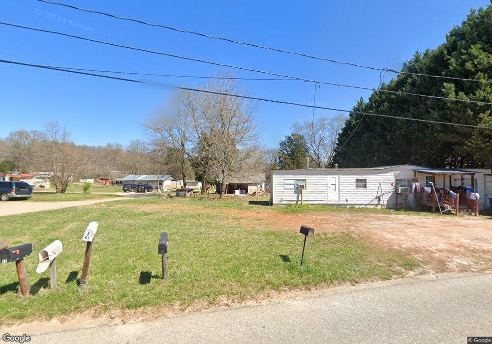
22 Brookshire and Wallace Ln Taylorsville, NC 28681
Estimated Value: $111,919 - $181,000
--
Bed
--
Bath
801
Sq Ft
$175/Sq Ft
Est. Value
About This Home
This home is located at 22 Brookshire and Wallace Ln, Taylorsville, NC 28681 and is currently estimated at $139,980, approximately $174 per square foot. 22 Brookshire and Wallace Ln is a home with nearby schools including Taylorsville Elementary School, East Alexander Middle School, and Alexander Central High School.
Ownership History
Date
Name
Owned For
Owner Type
Purchase Details
Closed on
Aug 2, 2022
Sold by
Brown Roger L
Bought by
Miranda Fermin Ramon and Cazares Ramon Maria
Current Estimated Value
Home Financials for this Owner
Home Financials are based on the most recent Mortgage that was taken out on this home.
Original Mortgage
$160,000
Outstanding Balance
$145,643
Interest Rate
5.78%
Mortgage Type
Seller Take Back
Estimated Equity
-$5,663
Create a Home Valuation Report for This Property
The Home Valuation Report is an in-depth analysis detailing your home's value as well as a comparison with similar homes in the area
Home Values in the Area
Average Home Value in this Area
Purchase History
| Date | Buyer | Sale Price | Title Company |
|---|---|---|---|
| Miranda Fermin Ramon | $170,000 | Davis Mark T | |
| Miranda Fermin Ramon | $170,000 | Davis Mark T |
Source: Public Records
Mortgage History
| Date | Status | Borrower | Loan Amount |
|---|---|---|---|
| Open | Miranda Fermin Ramon | $160,000 | |
| Closed | Miranda Fermin Ramon | $160,000 |
Source: Public Records
Tax History Compared to Growth
Tax History
| Year | Tax Paid | Tax Assessment Tax Assessment Total Assessment is a certain percentage of the fair market value that is determined by local assessors to be the total taxable value of land and additions on the property. | Land | Improvement |
|---|---|---|---|---|
| 2025 | $327 | $44,736 | $18,810 | $25,926 |
| 2024 | $322 | $44,736 | $18,810 | $25,926 |
| 2023 | $322 | $44,736 | $18,810 | $25,926 |
| 2022 | $320 | $38,133 | $17,100 | $21,033 |
| 2021 | $320 | $38,133 | $17,100 | $21,033 |
| 2020 | $320 | $38,133 | $17,100 | $21,033 |
| 2019 | $320 | $38,133 | $17,100 | $21,033 |
| 2018 | $315 | $38,133 | $17,100 | $21,033 |
| 2017 | $315 | $38,133 | $17,100 | $21,033 |
| 2016 | $315 | $38,133 | $17,100 | $21,033 |
| 2015 | $315 | $38,133 | $17,100 | $21,033 |
| 2014 | $315 | $36,607 | $17,100 | $19,507 |
| 2012 | -- | $36,607 | $17,100 | $19,507 |
Source: Public Records
Map
Nearby Homes
- 601 1st Avenue Dr SE
- 347 E Main Ave
- 410 Cole Campbell Rd
- 77 2nd Ave SE
- 125 Will Wilson Ln
- 153 S Center St
- 162 4th St NE
- 1.45 Acres Paul Payne Store Rd Unit Lot 9
- 1.36 Acres Paul Payne Store Rd Unit Lot 8
- 241 4th Ave N
- 00 Black Oak Ridge Rd
- 60 Shadowwood Dr
- 749 Boston Rd
- 663 Nc 161 Hwy Hwy
- 24 7th St NW
- 9B W Main Ave
- 9C W Main Ave
- 0 Taylorsville Rd Unit Tract 3 CAR3938583
- 0 Taylorsville Rd Unit Tract 1 CAR3938585
- 0 Taylorsville Rd Unit Tract 4 CAR3933102
- 321 Hammer Rd
- 82 Brookshire and Wallace Ln
- 25 Brookshire and Wallace Ln
- 355 Hammer Rd
- 100 Hammer Rd NE
- 495 Hammer Rd
- 705 W Hwy 90 Hwy
- 217 Hammer St Unit 406B&0409
- 658 E Main Ave
- 222 Hammer Rd
- 53 Brown Ln
- 177 Hammer Rd
- 636 E Main Ave
- 190 Hammer Rd
- 190 Hammer Rd Unit 426
- 175 Hammer Rd
- 554 Hammer Rd
- 137 11th St NE
- 5 Carrigan and Deal Ln
- 610 E Main Ave