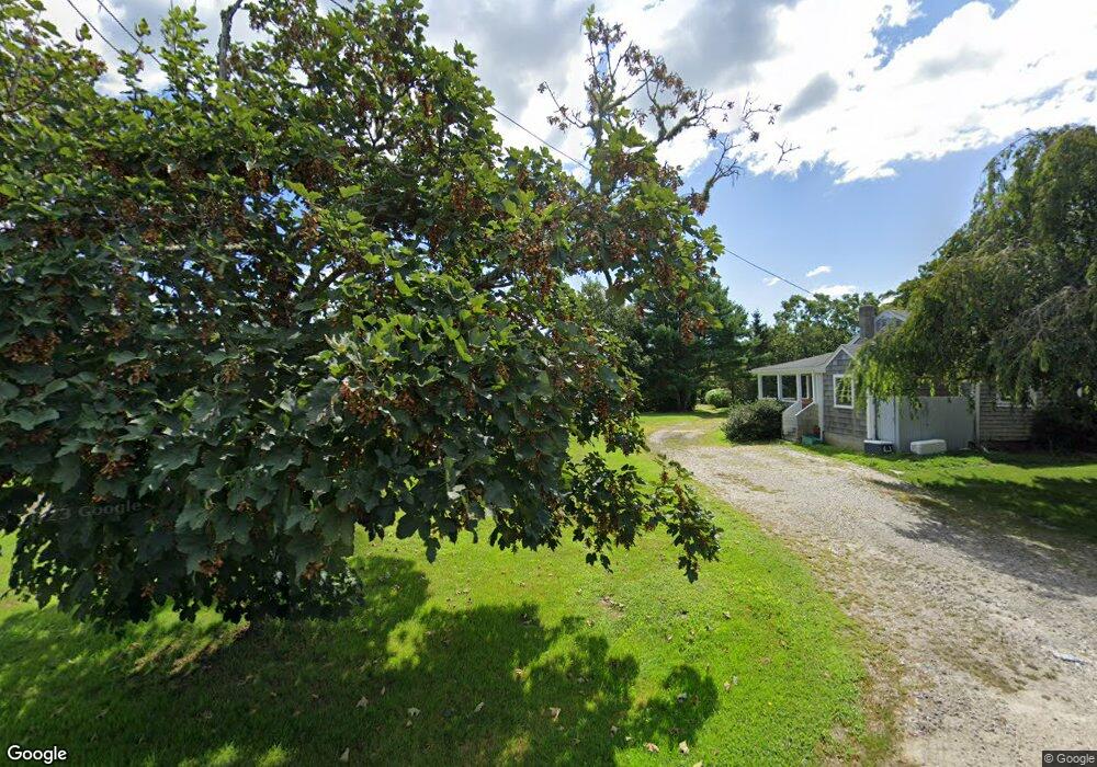
22 Brownell Rd Little Compton, RI 02837
Estimated Value: $648,040 - $924,000
2
Beds
2
Baths
912
Sq Ft
$837/Sq Ft
Est. Value
About This Home
This home is located at 22 Brownell Rd, Little Compton, RI 02837 and is currently estimated at $763,510, approximately $837 per square foot. 22 Brownell Rd is a home located in Newport County with nearby schools including Wilbur & McMahon School.
Ownership History
Date
Name
Owned For
Owner Type
Purchase Details
Closed on
Nov 5, 2021
Sold by
Thornsbury Diane E
Bought by
Andres Valerie S
Current Estimated Value
Home Financials for this Owner
Home Financials are based on the most recent Mortgage that was taken out on this home.
Original Mortgage
$392,000
Outstanding Balance
$357,113
Interest Rate
2.88%
Mortgage Type
Purchase Money Mortgage
Estimated Equity
$406,397
Create a Home Valuation Report for This Property
The Home Valuation Report is an in-depth analysis detailing your home's value as well as a comparison with similar homes in the area
Home Values in the Area
Average Home Value in this Area
Purchase History
| Date | Buyer | Sale Price | Title Company |
|---|---|---|---|
| Andres Valerie S | $490,000 | None Available |
Source: Public Records
Mortgage History
| Date | Status | Borrower | Loan Amount |
|---|---|---|---|
| Open | Andres Valerie S | $392,000 |
Source: Public Records
Tax History Compared to Growth
Tax History
| Year | Tax Paid | Tax Assessment Tax Assessment Total Assessment is a certain percentage of the fair market value that is determined by local assessors to be the total taxable value of land and additions on the property. | Land | Improvement |
|---|---|---|---|---|
| 2025 | $2,358 | $492,300 | $286,800 | $205,500 |
| 2024 | $2,328 | $458,200 | $249,500 | $208,700 |
| 2023 | $2,273 | $458,200 | $249,500 | $208,700 |
| 2022 | $2,233 | $455,700 | $249,500 | $206,200 |
| 2021 | $1,993 | $330,000 | $199,100 | $130,900 |
| 2020 | $1,977 | $330,000 | $199,100 | $130,900 |
| 2019 | $1,957 | $330,000 | $199,100 | $130,900 |
| 2018 | $2,018 | $338,600 | $199,100 | $139,500 |
| 2016 | $1,920 | $338,600 | $199,100 | $139,500 |
| 2015 | $1,846 | $321,000 | $181,500 | $139,500 |
| 2014 | $1,810 | $321,000 | $181,500 | $139,500 |
Source: Public Records
Map
Nearby Homes
- 128 Maple Ave
- 141 S Of Commons Rd
- 18 Old Barn Rd
- 536 W Main Rd
- 189 Brayton Point Rd
- 0 Willow Ave
- 304 Brayton Point Rd
- 505 Long Hwy
- 255 John Dyer Rd
- 441 W Main Rd
- 19 Seabury Ln
- 245 John Dyer Rd
- 180 W Main Rd
- 17 Ferolbink Way
- 155 W Main Rd
- 83 Long Hwy
- 116 Amy Hart Path
- 6 June Way
- 55 W Main Rd
- 90 Two Rod Rd
- 22 Brownell Rd
- 18 Brownell Rd
- 18 Brownell Rd
- 24 Brownell Rd
- 20 Brownell Rd
- 16 Brownell Rd
- 28 Brownell Rd
- 2 Brownell Rd
- 12 Brownell Rd
- 15 Brownell Rd
- 35 Brownell Rd
- 9 S Shore Rd
- 11 S Shore Rd
- 25B S Shore Rd
- 25 S Shore Rd
- 25 S Shore Rd Unit B
- 25 - B Shore Rd
- 25 - B South Shore Rd
- 19 S Shore Rd
- 36 Brownell Rd Unit 38