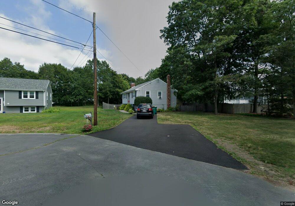
22 Byrnes Cir North Attleboro, MA 02760
North Attleboro NeighborhoodEstimated Value: $523,559 - $602,000
3
Beds
1
Bath
924
Sq Ft
$602/Sq Ft
Est. Value
About This Home
This home is located at 22 Byrnes Cir, North Attleboro, MA 02760 and is currently estimated at $556,140, approximately $601 per square foot. 22 Byrnes Cir is a home located in Bristol County with nearby schools including North Attleboro High School, Cadence Academy Preschool - North Attleborough, and Bishop Feehan High School.
Ownership History
Date
Name
Owned For
Owner Type
Purchase Details
Closed on
Jul 30, 1996
Sold by
Songin Walter H and Songin Lori Lee
Bought by
Reddy Allan J and Reddy Jean M
Current Estimated Value
Home Financials for this Owner
Home Financials are based on the most recent Mortgage that was taken out on this home.
Original Mortgage
$115,000
Interest Rate
8.37%
Mortgage Type
Purchase Money Mortgage
Purchase Details
Closed on
Aug 25, 1989
Sold by
Vigorito Michael A
Bought by
Songin Walter H
Home Financials for this Owner
Home Financials are based on the most recent Mortgage that was taken out on this home.
Original Mortgage
$108,800
Interest Rate
9.67%
Mortgage Type
Purchase Money Mortgage
Create a Home Valuation Report for This Property
The Home Valuation Report is an in-depth analysis detailing your home's value as well as a comparison with similar homes in the area
Home Values in the Area
Average Home Value in this Area
Purchase History
| Date | Buyer | Sale Price | Title Company |
|---|---|---|---|
| Reddy Allan J | $135,000 | -- | |
| Songin Walter H | $136,000 | -- |
Source: Public Records
Mortgage History
| Date | Status | Borrower | Loan Amount |
|---|---|---|---|
| Open | Songin Walter H | $130,000 | |
| Closed | Songin Walter H | $115,000 | |
| Previous Owner | Songin Walter H | $106,000 | |
| Previous Owner | Songin Walter H | $108,800 |
Source: Public Records
Tax History Compared to Growth
Tax History
| Year | Tax Paid | Tax Assessment Tax Assessment Total Assessment is a certain percentage of the fair market value that is determined by local assessors to be the total taxable value of land and additions on the property. | Land | Improvement |
|---|---|---|---|---|
| 2025 | $5,295 | $449,100 | $149,600 | $299,500 |
| 2024 | $5,105 | $442,400 | $149,600 | $292,800 |
| 2023 | $5,287 | $413,400 | $149,600 | $263,800 |
| 2022 | $5,108 | $366,700 | $149,600 | $217,100 |
| 2021 | $4,770 | $334,300 | $149,600 | $184,700 |
| 2020 | $4,649 | $324,000 | $149,600 | $174,400 |
| 2019 | $4,420 | $310,400 | $136,000 | $174,400 |
| 2018 | $3,946 | $295,800 | $136,000 | $159,800 |
| 2017 | $3,774 | $285,500 | $136,000 | $149,500 |
| 2016 | $3,643 | $275,600 | $151,100 | $124,500 |
| 2015 | $3,418 | $260,100 | $151,100 | $109,000 |
| 2014 | $3,188 | $240,800 | $132,600 | $108,200 |
Source: Public Records
Map
Nearby Homes
- 16 Raymond Hall Dr
- 116 George St
- 10 Sleepy Hollow Cir
- 11 Landry Ave
- 15 Old Wood Rd
- 28 Messenger St
- 57 Vine St
- 33 Dublin Way
- Lot 5 Jeffrey Dr
- 2 George St Unit C
- 9 Sunnyside Dr Unit 9
- 166 E Bacon St Unit 4
- Lot 2 Jeffrey Dr
- 24 Red Coat Ln
- 115 Westfield Dr
- 12 Houde St
- 17 Peters Way
- 2 Woodridge St Unit 2
- 36 Cranberry Rd
- 52 George St Unit B