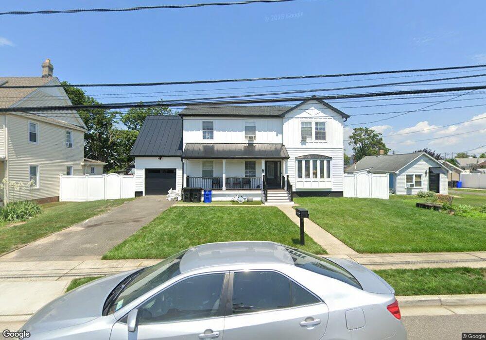
22 Cary Place Freeport, NY 11520
Estimated Value: $738,000 - $872,000
6
Beds
3
Baths
2,110
Sq Ft
$380/Sq Ft
Est. Value
About This Home
This home is located at 22 Cary Place, Freeport, NY 11520 and is currently estimated at $801,326, approximately $379 per square foot. 22 Cary Place is a home located in Nassau County with nearby schools including Columbus Avenue School, Caroline G. Atkinson Intermediate School, and John W Dodd Middle School.
Ownership History
Date
Name
Owned For
Owner Type
Purchase Details
Closed on
Jun 26, 2024
Sold by
Plaza Rxr
Bought by
Rodriguez Torres Cristhian Noel and Delgid De Rodriguez
Current Estimated Value
Purchase Details
Closed on
Apr 20, 2001
Sold by
22 Cary Place Corp
Bought by
Contes David
Purchase Details
Closed on
May 19, 2000
Sold by
Secured Partners Corp
Bought by
22 Cary Place Corp
Purchase Details
Closed on
Jun 17, 1999
Sold by
Trynock Leonard and Trynock Charlene
Bought by
Secured Partners Corp
Create a Home Valuation Report for This Property
The Home Valuation Report is an in-depth analysis detailing your home's value as well as a comparison with similar homes in the area
Home Values in the Area
Average Home Value in this Area
Purchase History
| Date | Buyer | Sale Price | Title Company |
|---|---|---|---|
| Rodriguez Torres Cristhian Noel | $580,000 | None Available | |
| Rodriguez Torres Cristhian Noel | $580,000 | None Available | |
| Rodriguez Torres Cristhian Noel | $580,000 | None Available | |
| Contes David | $279,000 | Wendy Funk | |
| Contes David | $279,000 | Wendy Funk | |
| 22 Cary Place Corp | $75,000 | Lance Longe | |
| 22 Cary Place Corp | $75,000 | Lance Longe | |
| Secured Partners Corp | $55,000 | First American Title Ins Co | |
| Secured Partners Corp | $55,000 | First American Title Ins Co | |
| Secured Partners Corp | $55,000 | First American Title Ins Co |
Source: Public Records
Tax History
| Year | Tax Paid | Tax Assessment Tax Assessment Total Assessment is a certain percentage of the fair market value that is determined by local assessors to be the total taxable value of land and additions on the property. | Land | Improvement |
|---|---|---|---|---|
| 2025 | $11,299 | $524 | $191 | $333 |
| 2024 | $1,198 | $524 | $191 | $333 |
| 2023 | $12,060 | $524 | $191 | $333 |
| 2022 | $12,060 | $524 | $191 | $333 |
| 2021 | $18,566 | $502 | $183 | $319 |
| 2020 | $19,595 | $922 | $487 | $435 |
| 2019 | $13,568 | $922 | $487 | $435 |
| 2018 | $13,350 | $922 | $0 | $0 |
| 2017 | $11,096 | $922 | $487 | $435 |
| 2016 | $12,480 | $922 | $487 | $435 |
| 2015 | $1,332 | $922 | $487 | $435 |
| 2014 | $1,332 | $922 | $487 | $435 |
| 2013 | $1,258 | $922 | $487 | $435 |
Source: Public Records
Map
Nearby Homes
- 153 Westend Ave
- 463 S Bayview Ave
- 31 Anchor St Unit Y
- 525 Ray St
- 116 Westend Ave Unit 8
- 210 Westend Ave Unit 8B
- 210 Westend Ave Unit 8A
- 47 Anchor St Unit Y
- 77 Hampton Place
- 8 Florence Ave Unit 16C
- 160 Saint Marks Ave
- 28 Florence Ave
- 12 Florence Ave Unit 29A
- 14 Florence Ave Unit 25B
- 403 S Bayview Ave
- 572 S Bayview Ave
- 48 Saint Marks Ave
- 587 S Bayview Ave
- 173 Cedar St
- 1108 Washington Place
Your Personal Tour Guide
Ask me questions while you tour the home.