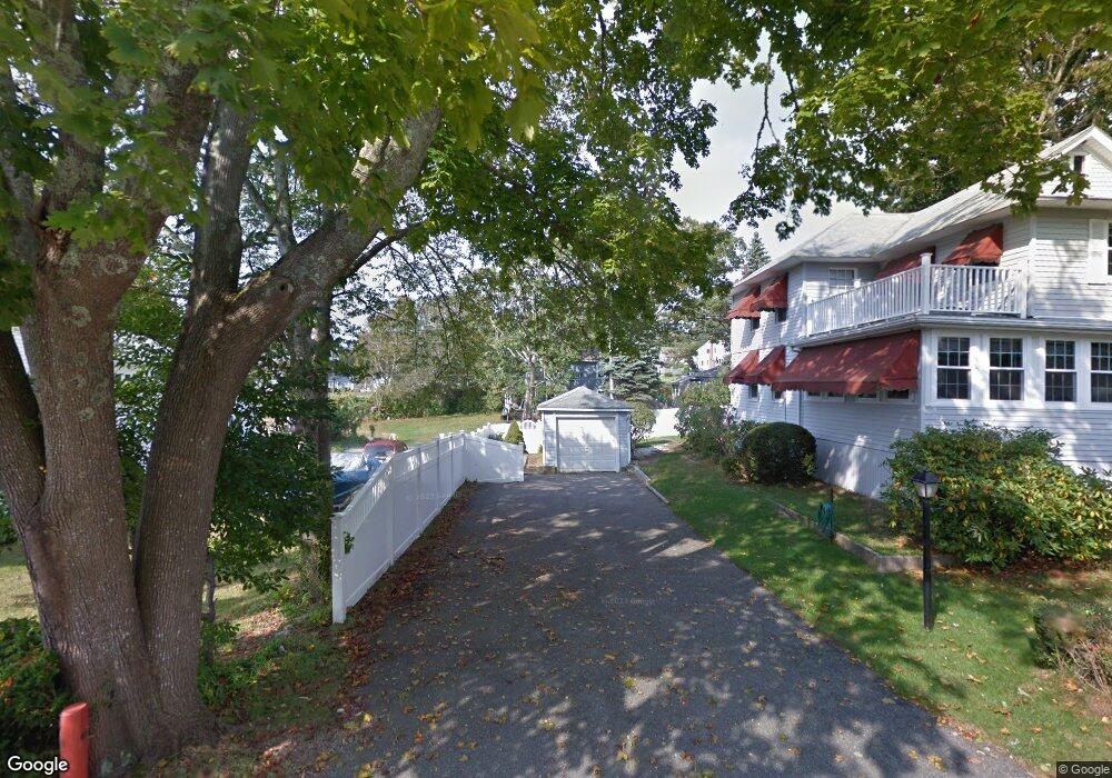
22 Churbuck Ln Unit 1 Buzzards Bay, MA 02532
Estimated Value: $583,000 - $693,000
4
Beds
2
Baths
1,215
Sq Ft
$516/Sq Ft
Est. Value
About This Home
This home is located at 22 Churbuck Ln Unit 1, Buzzards Bay, MA 02532 and is currently estimated at $627,498, approximately $516 per square foot. 22 Churbuck Ln Unit 1 is a home.
Ownership History
Date
Name
Owned For
Owner Type
Purchase Details
Closed on
Sep 2, 2021
Sold by
Mcfadyen Kevin and Mcfadyen Marie E
Bought by
Jackman Paul M and Wood Kristinl
Current Estimated Value
Home Financials for this Owner
Home Financials are based on the most recent Mortgage that was taken out on this home.
Original Mortgage
$355,000
Outstanding Balance
$321,112
Interest Rate
2.7%
Mortgage Type
Purchase Money Mortgage
Estimated Equity
$306,387
Purchase Details
Closed on
Sep 25, 2017
Sold by
Mcfadyen Kevin
Bought by
Mcfadyen Kevin and Mcfayden Marie E
Create a Home Valuation Report for This Property
The Home Valuation Report is an in-depth analysis detailing your home's value as well as a comparison with similar homes in the area
Home Values in the Area
Average Home Value in this Area
Purchase History
| Date | Buyer | Sale Price | Title Company |
|---|---|---|---|
| Jackman Paul M | $445,000 | None Available | |
| Jackman Paul M | $445,000 | None Available | |
| Mcfadyen Kevin | -- | -- | |
| Mcfadyen Kevin | -- | -- |
Source: Public Records
Mortgage History
| Date | Status | Borrower | Loan Amount |
|---|---|---|---|
| Open | Jackman Paul M | $355,000 | |
| Closed | Jackman Paul M | $355,000 |
Source: Public Records
Tax History Compared to Growth
Tax History
| Year | Tax Paid | Tax Assessment Tax Assessment Total Assessment is a certain percentage of the fair market value that is determined by local assessors to be the total taxable value of land and additions on the property. | Land | Improvement |
|---|---|---|---|---|
| 2025 | $6,617 | $602,600 | $390,600 | $212,000 |
| 2024 | $6,100 | $522,300 | $306,300 | $216,000 |
| 2023 | $5,789 | $464,800 | $278,500 | $186,300 |
| 2022 | $5,789 | $425,000 | $278,500 | $146,500 |
| 2021 | $5,673 | $405,200 | $278,500 | $126,700 |
| 2020 | $5,484 | $400,000 | $278,500 | $121,500 |
| 2019 | $5,377 | $396,500 | $296,400 | $100,100 |
| 2018 | $5,366 | $382,200 | $296,400 | $85,800 |
| 2017 | $5,343 | $382,200 | $296,400 | $85,800 |
| 2016 | $4,891 | $347,100 | $270,200 | $76,900 |
| 2015 | $4,731 | $345,300 | $270,200 | $75,100 |
| 2014 | $5,013 | $377,200 | $283,700 | $93,500 |
Source: Public Records
Map
Nearby Homes
- 17 Carleton St Unit 17
- 12 Grove St
- 22 Bay View Ave
- 35 Locust St
- 35 Locust St
- 0 Broad St Off Unit 72362523
- 6 Unit 74
- 45 Kins Ct
- 46 Kins Ct
- 38 Amos Way
- 12 Beacon St Unit 84
- 52 Starboard Dr Unit 36H
- 2 Beacon St Unit 77
- 26 Highland Ave
- 9 10th St
- 10 Beacon St Unit 83
- 6 Beacon St Unit 79
- 46 Winship Ave
- 8 Beacon St Unit 80
- 11 22nd St