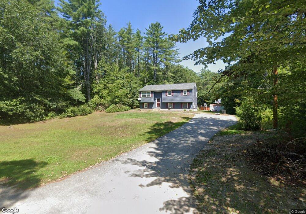
22 Clothespin Bridge Rd Webster, NH 03303
Estimated Value: $371,000 - $451,000
3
Beds
1
Bath
1,439
Sq Ft
$283/Sq Ft
Est. Value
About This Home
This home is located at 22 Clothespin Bridge Rd, Webster, NH 03303 and is currently estimated at $407,118, approximately $282 per square foot. 22 Clothespin Bridge Rd is a home located in Merrimack County with nearby schools including Webster Elementary School, Merrimack Valley Middle School, and Merrimack Valley High School.
Ownership History
Date
Name
Owned For
Owner Type
Purchase Details
Closed on
Sep 25, 1997
Sold by
Savoy Norman E and Savoy Theresa M
Bought by
Baker Jonathan P
Current Estimated Value
Home Financials for this Owner
Home Financials are based on the most recent Mortgage that was taken out on this home.
Original Mortgage
$71,250
Interest Rate
7.47%
Create a Home Valuation Report for This Property
The Home Valuation Report is an in-depth analysis detailing your home's value as well as a comparison with similar homes in the area
Home Values in the Area
Average Home Value in this Area
Purchase History
| Date | Buyer | Sale Price | Title Company |
|---|---|---|---|
| Baker Jonathan P | $75,000 | -- |
Source: Public Records
Mortgage History
| Date | Status | Borrower | Loan Amount |
|---|---|---|---|
| Open | Baker Jonathan P | $110,086 | |
| Closed | Baker Jonathan P | $71,250 |
Source: Public Records
Tax History
| Year | Tax Paid | Tax Assessment Tax Assessment Total Assessment is a certain percentage of the fair market value that is determined by local assessors to be the total taxable value of land and additions on the property. | Land | Improvement |
|---|---|---|---|---|
| 2025 | $4,856 | $287,700 | $103,400 | $184,300 |
| 2024 | $4,445 | $286,200 | $103,400 | $182,800 |
| 2023 | $4,259 | $286,200 | $103,400 | $182,800 |
| 2022 | $3,916 | $171,400 | $63,400 | $108,000 |
| 2021 | $3,821 | $171,400 | $63,400 | $108,000 |
| 2020 | $3,790 | $170,800 | $63,400 | $107,400 |
| 2019 | $3,751 | $170,800 | $63,400 | $107,400 |
| 2018 | $3,679 | $170,800 | $63,400 | $107,400 |
| 2017 | $3,551 | $154,600 | $43,300 | $111,300 |
| 2016 | $3,551 | $154,600 | $43,300 | $111,300 |
| 2015 | $3,723 | $154,600 | $43,300 | $111,300 |
| 2014 | $3,267 | $144,000 | $43,300 | $100,700 |
| 2013 | $3,129 | $144,000 | $43,300 | $100,700 |
Source: Public Records
Map
Nearby Homes
- 122 Centennial Dr
- M10 L05 S37 Centennial Dr
- 17 Centennial Dr
- 30 Centennial Dr
- Map 10 Dr
- 84 New Hampshire Dr Unit 4
- 66 New Hampshire Dr
- 63 Concord Dr
- 00 Deer Meadow Rd Unit 26
- 11 White Plains Rd
- 298 Battle St
- 25 Merrill Corner Rd
- 100 Stacey Dr
- 20 Water St
- 18 Stacey Dr
- 67 Stacey Dr
- 5 Pamela Dr
- 15 Suffolk Dr Unit 2
- 15 Suffolk Dr Unit 5
- 15 Suffolk Dr Unit 3
- 20 Clothespin Bridge Rd
- 35 Clothespin Bridge Rd
- 1122 Corn Hill Rd
- 6-93 Clothespin Bridge Rd
- 36 Clothespin Bridge Rd
- 00 Chadwick Hill Rd
- 23 Clothespin Bridge Rd
- 1009 Pleasant St
- 1118 Corn Hill Rd
- 51 Clothespin Bridge Rd
- 1106 Corn Hill Rd
- 1110 Corn Hill Rd
- 5 Clothespin Bridge Rd
- 1023 Pleasant St
- 656 Deer Meadow Rd
- 661 Deer Meadow Rd
- 65 Clothespin Bridge Rd
- 150 Frost Ln
- 60 Clothespin Bridge Rd
- 147 Frost Ln
Your Personal Tour Guide
Ask me questions while you tour the home.