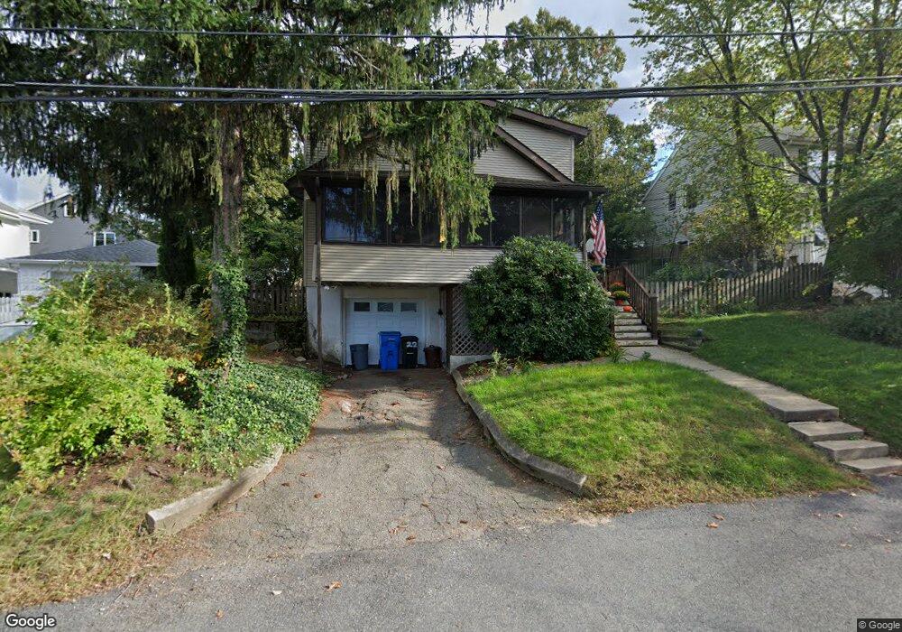
22 Colburn St Waltham, MA 02453
Estimated Value: $800,000 - $896,000
4
Beds
2
Baths
1,736
Sq Ft
$484/Sq Ft
Est. Value
About This Home
This home is located at 22 Colburn St, Waltham, MA 02453 and is currently estimated at $840,381, approximately $484 per square foot. 22 Colburn St is a home located in Middlesex County with nearby schools including Thomas R Plympton Elementary School, John F Kennedy Middle School, and Waltham Sr High School.
Ownership History
Date
Name
Owned For
Owner Type
Purchase Details
Closed on
May 10, 2025
Sold by
Mcdonald Anne M
Bought by
Colburn Mcdonald Rt and Mcdonald
Current Estimated Value
Purchase Details
Closed on
Aug 1, 1985
Bought by
Mcdonald Walter T and Mcdonald Anne-Marie
Create a Home Valuation Report for This Property
The Home Valuation Report is an in-depth analysis detailing your home's value as well as a comparison with similar homes in the area
Home Values in the Area
Average Home Value in this Area
Purchase History
| Date | Buyer | Sale Price | Title Company |
|---|---|---|---|
| Colburn Mcdonald Rt | -- | None Available | |
| Colburn Mcdonald Rt | -- | None Available | |
| Mcdonald Walter T | $134,000 | -- |
Source: Public Records
Mortgage History
| Date | Status | Borrower | Loan Amount |
|---|---|---|---|
| Previous Owner | Mcdonald Walter T | $120,000 | |
| Previous Owner | Mcdonald Walter T | $24,000 | |
| Previous Owner | Mcdonald Walter T | $13,900 | |
| Previous Owner | Mcdonald Walter T | $105,000 |
Source: Public Records
Tax History Compared to Growth
Tax History
| Year | Tax Paid | Tax Assessment Tax Assessment Total Assessment is a certain percentage of the fair market value that is determined by local assessors to be the total taxable value of land and additions on the property. | Land | Improvement |
|---|---|---|---|---|
| 2025 | $6,782 | $690,600 | $388,800 | $301,800 |
| 2024 | $6,550 | $679,500 | $381,600 | $297,900 |
| 2023 | $6,496 | $629,500 | $345,600 | $283,900 |
| 2022 | $6,293 | $564,900 | $316,800 | $248,100 |
| 2021 | $6,246 | $551,800 | $316,800 | $235,000 |
| 2020 | $6,220 | $520,500 | $295,200 | $225,300 |
| 2019 | $6,043 | $477,300 | $278,400 | $198,900 |
| 2018 | $5,567 | $441,500 | $257,800 | $183,700 |
| 2017 | $5,255 | $418,400 | $234,700 | $183,700 |
| 2016 | $5,069 | $414,100 | $230,400 | $183,700 |
| 2015 | $4,695 | $357,600 | $201,600 | $156,000 |
Source: Public Records
Map
Nearby Homes
- 15 Dorchester St
- 145 Virginia Rd
- 62 Florence Rd
- 51 Caldwell Rd
- 202 Bear Hill Rd
- 5 Cunningham Cir
- 45 Forest Ridge Rd
- 61 Boynton St
- 36 Boynton St
- 17 Lexington St
- 31 Weston St Unit 2
- 79-81 Vernon St
- 12-14 Elson Rd
- 15 Hobbs Brook Rd
- 948 Main St Unit 209
- 948 Main St Unit 105
- 15 Banks St Unit 4
- 30 Page Rd
- 43-45 Welligton Unit 3
- 91 Prentice St
- 30 Colburn St
- 28 Colburn St
- 18 Colburn St
- 23 Dorchester St
- 32 Colburn St
- 21 Dorchester St
- 14 Colburn St
- 29 Dorchester St
- 23 Colburn St
- 9999 Colburn St Unit 1
- 19 Colburn St
- 11 Dorchester St
- 27 Colburn St
- 9 Dorchester St
- 11 Colburn St
- 47 Dorchester St Unit 1
- 47 Dorchester St
- 52 Dorchester St Unit 52
- 35 Colburn St
- 24 Keach St