22 Coles Island Rd Gloucester, MA 01930
West Gloucester NeighborhoodEstimated Value: $1,480,000 - $3,252,198
4
Beds
4
Baths
4,907
Sq Ft
$464/Sq Ft
Est. Value
About This Home
This home is located at 22 Coles Island Rd, Gloucester, MA 01930 and is currently estimated at $2,274,733, approximately $463 per square foot. 22 Coles Island Rd is a home located in Essex County with nearby schools including West Parish, Ralph B O'maley Middle School, and Faith Christian School.
Ownership History
Date
Name
Owned For
Owner Type
Purchase Details
Closed on
Jun 27, 2011
Sold by
Mcdougall Daniel R and Mcdougall Jenifer L
Bought by
Ward Scobie D
Current Estimated Value
Purchase Details
Closed on
Mar 30, 2000
Sold by
Covington Christopher and Covington Bonnie G
Bought by
Mcdougall Daniel R and Mcdougall Jenifer L
Create a Home Valuation Report for This Property
The Home Valuation Report is an in-depth analysis detailing your home's value as well as a comparison with similar homes in the area
Home Values in the Area
Average Home Value in this Area
Purchase History
| Date | Buyer | Sale Price | Title Company |
|---|---|---|---|
| Ward Scobie D | $2,450,000 | -- | |
| Mcdougall Daniel R | $350,000 | -- |
Source: Public Records
Mortgage History
| Date | Status | Borrower | Loan Amount |
|---|---|---|---|
| Previous Owner | Mcdougall Daniel R | $417,000 | |
| Previous Owner | Mcdougall Daniel R | $250,000 |
Source: Public Records
Tax History Compared to Growth
Tax History
| Year | Tax Paid | Tax Assessment Tax Assessment Total Assessment is a certain percentage of the fair market value that is determined by local assessors to be the total taxable value of land and additions on the property. | Land | Improvement |
|---|---|---|---|---|
| 2025 | $26,361 | $2,712,000 | $1,256,500 | $1,455,500 |
| 2024 | $25,805 | $2,652,100 | $1,196,600 | $1,455,500 |
| 2023 | $26,317 | $2,485,100 | $1,021,100 | $1,464,000 |
| 2022 | $27,578 | $2,351,100 | $887,100 | $1,464,000 |
| 2021 | $27,414 | $2,203,700 | $807,600 | $1,396,100 |
| 2020 | $29,249 | $2,372,200 | $900,000 | $1,472,200 |
| 2019 | $30,428 | $2,397,800 | $858,200 | $1,539,600 |
| 2018 | $29,629 | $2,291,500 | $837,300 | $1,454,200 |
| 2017 | $29,700 | $2,251,700 | $797,500 | $1,454,200 |
| 2016 | $29,135 | $2,140,700 | $763,300 | $1,377,400 |
| 2015 | $28,983 | $2,123,300 | $745,900 | $1,377,400 |
Source: Public Records
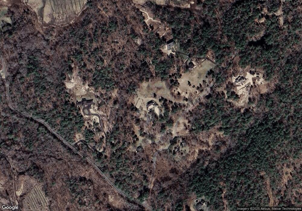
Map
Nearby Homes
- 30 Atlantic St
- 7 Leaman Dr
- 188 Atlantic St
- 226 Atlantic St
- 11 Overlook Ave
- 109 Riverview Rd
- 49 Thurston Point Rd
- 587 Essex Ave
- 368 Essex Ave
- 5 Samoset Rd Unit A
- 6 River Rd
- 227 Essex Ave
- 12 Woodward Ave
- 672 Washington St
- 139 Eastern Ave
- 145 Essex Ave Unit 610
- 18 Cherry St
- 65 Poplar St
- 6 Beauport Ave
- 196 Washington St
- 14 Coles Island Rd
- 9 Coles Island Rd
- 209 Concord St
- 32 Coles Island Rd
- 15 Coles Island Rd
- 146 Bray St
- 198 Concord St
- 148 Bray St
- 148 Bray St
- 144 Bray St
- 29 Coles Island Rd
- 115 Coles Island Rd
- 160 Bray St
- 232 Concord St
- 234 Concord St
- 236 Concord St
- 237 Concord St
- 118 Bray St
- 128 Bray St
- 239 Concord St