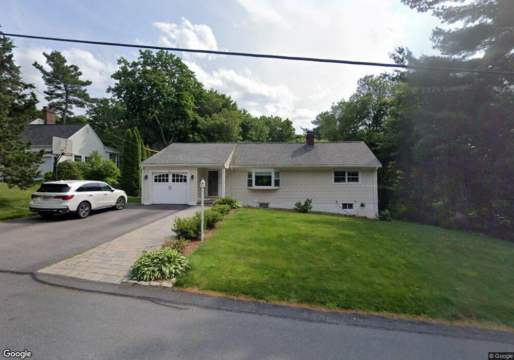
22 Conant Rd Westwood, MA 02090
Estimated Value: $983,643 - $1,121,000
4
Beds
3
Baths
1,652
Sq Ft
$631/Sq Ft
Est. Value
About This Home
This home is located at 22 Conant Rd, Westwood, MA 02090 and is currently estimated at $1,043,161, approximately $631 per square foot. 22 Conant Rd is a home located in Norfolk County with nearby schools including Westwood High School, St. Sebastian's School, and Xaverian Brothers High School.
Ownership History
Date
Name
Owned For
Owner Type
Purchase Details
Closed on
Sep 1, 2009
Sold by
Bonsignore-Berry Stephen
Bought by
Dayton Arthur T and Dayton Lauren M
Current Estimated Value
Home Financials for this Owner
Home Financials are based on the most recent Mortgage that was taken out on this home.
Original Mortgage
$389,000
Outstanding Balance
$254,146
Interest Rate
5.17%
Mortgage Type
Purchase Money Mortgage
Estimated Equity
$789,015
Purchase Details
Closed on
Aug 20, 1993
Sold by
Oconnor Kathleen M
Bought by
Bonsignore Stephen and Bonsignore Andrea
Home Financials for this Owner
Home Financials are based on the most recent Mortgage that was taken out on this home.
Original Mortgage
$106,000
Interest Rate
7.11%
Mortgage Type
Purchase Money Mortgage
Create a Home Valuation Report for This Property
The Home Valuation Report is an in-depth analysis detailing your home's value as well as a comparison with similar homes in the area
Home Values in the Area
Average Home Value in this Area
Purchase History
| Date | Buyer | Sale Price | Title Company |
|---|---|---|---|
| Dayton Arthur T | $549,000 | -- | |
| Bonsignore Stephen | $156,000 | -- |
Source: Public Records
Mortgage History
| Date | Status | Borrower | Loan Amount |
|---|---|---|---|
| Open | Dayton Arthur T | $389,000 | |
| Previous Owner | Bonsignore Stephen | $126,400 | |
| Previous Owner | Bonsignore Stephen | $106,000 | |
| Previous Owner | Bonsignore Stephen | $54,000 |
Source: Public Records
Tax History Compared to Growth
Tax History
| Year | Tax Paid | Tax Assessment Tax Assessment Total Assessment is a certain percentage of the fair market value that is determined by local assessors to be the total taxable value of land and additions on the property. | Land | Improvement |
|---|---|---|---|---|
| 2025 | $10,929 | $853,200 | $425,300 | $427,900 |
| 2024 | $10,929 | $853,200 | $425,300 | $427,900 |
| 2023 | $9,398 | $657,200 | $354,500 | $302,700 |
| 2022 | $9,360 | $631,150 | $313,300 | $317,850 |
| 2021 | $9,538 | $645,350 | $298,450 | $346,900 |
| 2020 | $9,056 | $624,150 | $298,450 | $325,700 |
| 2019 | $8,594 | $586,650 | $284,250 | $302,400 |
| 2018 | $8,306 | $550,450 | $284,250 | $266,200 |
| 2017 | $8,282 | $568,450 | $284,250 | $284,200 |
| 2016 | $8,050 | $549,100 | $284,250 | $264,850 |
| 2015 | $8,298 | $544,500 | $284,250 | $260,250 |
Source: Public Records
Map
Nearby Homes
- 18 Longmeadow Dr
- 20 Longmeadow Dr
- 314 Grove St
- 670-672 High St Unit 3
- 26 Longmeadow Dr
- 300 Summer St
- 298 Summer St
- 429 Summer St
- 401 Sandy Valley Rd
- 223 Robert Rd
- 250 Meadowbrook Rd
- 262 Meadowbrook Rd
- 4 Shoestring Ln
- 85 Schoolmaster Ln
- 60 Warwick Dr
- 15 Wilsondale St
- 1133 High
- 1133 High St
- 49 Fisher St
- 162 Mayfair Dr