22 Connor Dr New Gloucester, ME 04260
Estimated Value: $484,000 - $670,000
3
Beds
3
Baths
2,270
Sq Ft
$256/Sq Ft
Est. Value
About This Home
This home is located at 22 Connor Dr, New Gloucester, ME 04260 and is currently estimated at $580,416, approximately $255 per square foot. 22 Connor Dr is a home located in Cumberland County with nearby schools including Gray-New Gloucester High School.
Ownership History
Date
Name
Owned For
Owner Type
Purchase Details
Closed on
Jul 15, 2008
Sold by
Warren John S and Warren Linda A
Bought by
Walsh John J and Walsh Wendy L
Current Estimated Value
Home Financials for this Owner
Home Financials are based on the most recent Mortgage that was taken out on this home.
Original Mortgage
$157,500
Interest Rate
6.13%
Mortgage Type
Unknown
Purchase Details
Closed on
Jul 5, 2005
Sold by
Rand Gregory
Bought by
Warren Linda A and Warren John S
Home Financials for this Owner
Home Financials are based on the most recent Mortgage that was taken out on this home.
Original Mortgage
$252,000
Interest Rate
5.73%
Mortgage Type
Purchase Money Mortgage
Create a Home Valuation Report for This Property
The Home Valuation Report is an in-depth analysis detailing your home's value as well as a comparison with similar homes in the area
Home Values in the Area
Average Home Value in this Area
Purchase History
| Date | Buyer | Sale Price | Title Company |
|---|---|---|---|
| Walsh John J | -- | -- | |
| Warren Linda A | -- | -- |
Source: Public Records
Mortgage History
| Date | Status | Borrower | Loan Amount |
|---|---|---|---|
| Closed | Walsh John J | $157,500 | |
| Previous Owner | Warren Linda A | $252,000 | |
| Previous Owner | Warren Linda A | $31,500 |
Source: Public Records
Tax History Compared to Growth
Tax History
| Year | Tax Paid | Tax Assessment Tax Assessment Total Assessment is a certain percentage of the fair market value that is determined by local assessors to be the total taxable value of land and additions on the property. | Land | Improvement |
|---|---|---|---|---|
| 2025 | $5,289 | $341,903 | $85,584 | $256,319 |
| 2024 | $5,091 | $341,903 | $85,584 | $256,319 |
| 2023 | $4,886 | $341,903 | $85,584 | $256,319 |
| 2022 | $4,718 | $341,903 | $85,584 | $256,319 |
| 2021 | $4,718 | $341,903 | $85,584 | $256,319 |
| 2020 | $4,667 | $341,903 | $85,584 | $256,319 |
| 2019 | $4,372 | $258,700 | $67,100 | $191,600 |
| 2018 | $4,087 | $258,700 | $67,100 | $191,600 |
| 2017 | $4,036 | $258,700 | $67,100 | $191,600 |
| 2016 | $3,803 | $258,700 | $67,100 | $191,600 |
| 2015 | $3,790 | $258,700 | $67,100 | $191,600 |
| 2014 | $3,751 | $258,700 | $67,100 | $191,600 |
| 2013 | $3,480 | $258,700 | $67,100 | $191,600 |
Source: Public Records
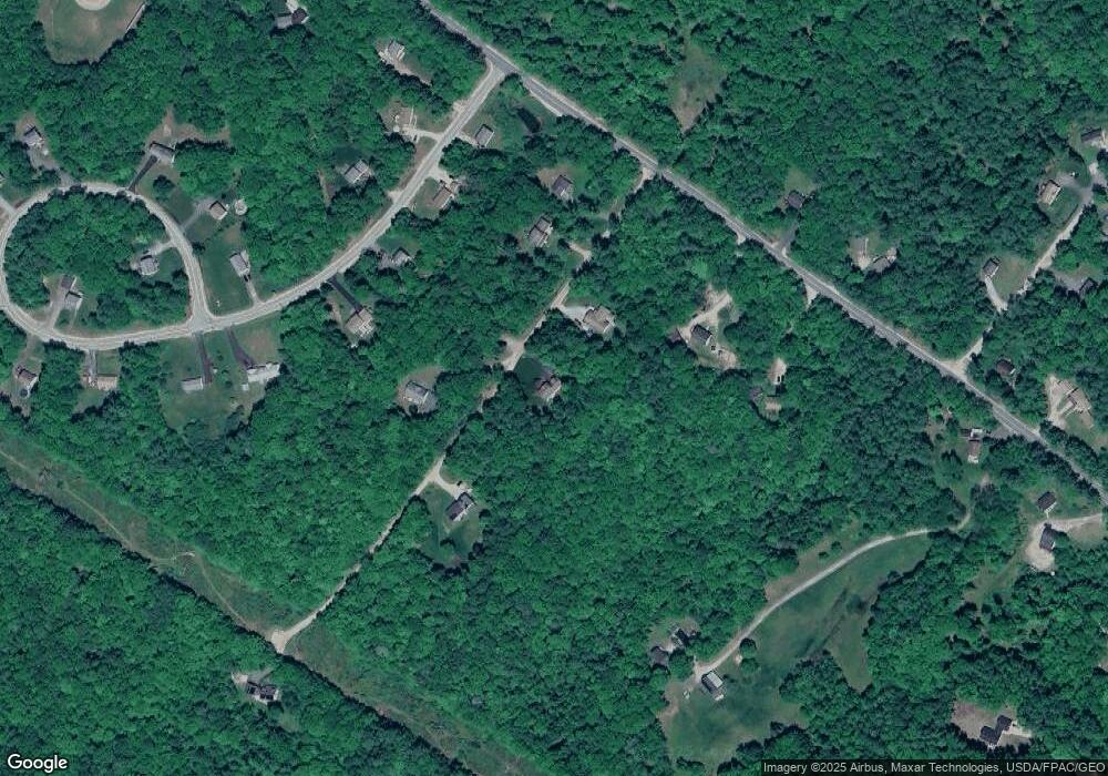
Map
Nearby Homes
- 155 & 151 Gloucester Hill Rd
- 0018-C Gloucester Hill Rd
- 160 Gloucester Hill Rd
- 29 Rockwood Dr
- 0 Mayall
- 10 Cobbs Bridge Rd
- 22 Shaw Rd
- TBD Targett Rd
- 271 Bennett Rd
- 200 Woodman Rd
- 244 Allen Rd
- 284 Allen Rd
- 026-01 Dow Ln
- 27 Callaway Dr Unit 27A
- 27 Callaway Dr Unit 27B
- 164 Intervale Rd
- 17 Callaway Dr Unit 17
- 1 Colley Hill Rd
- 24 Swamp Rd
- 343 Shaker Rd