22 Cote Ln Bowdoinham, ME 04008
Estimated Value: $417,000 - $458,400
3
Beds
2
Baths
1,344
Sq Ft
$329/Sq Ft
Est. Value
About This Home
This home is located at 22 Cote Ln, Bowdoinham, ME 04008 and is currently estimated at $441,850, approximately $328 per square foot. 22 Cote Ln is a home with nearby schools including Mt Ararat High School.
Ownership History
Date
Name
Owned For
Owner Type
Purchase Details
Closed on
Aug 15, 2016
Sold by
Saindon Kenneth J and Saindon Robin M
Bought by
Lavoie Nicholas S and Lavoie Bethany R
Current Estimated Value
Create a Home Valuation Report for This Property
The Home Valuation Report is an in-depth analysis detailing your home's value as well as a comparison with similar homes in the area
Home Values in the Area
Average Home Value in this Area
Purchase History
| Date | Buyer | Sale Price | Title Company |
|---|---|---|---|
| Lavoie Nicholas S | -- | -- |
Source: Public Records
Tax History Compared to Growth
Tax History
| Year | Tax Paid | Tax Assessment Tax Assessment Total Assessment is a certain percentage of the fair market value that is determined by local assessors to be the total taxable value of land and additions on the property. | Land | Improvement |
|---|---|---|---|---|
| 2024 | $5,872 | $279,600 | $78,900 | $200,700 |
| 2023 | $5,452 | $279,600 | $78,900 | $200,700 |
| 2022 | $4,215 | $233,000 | $65,700 | $167,300 |
| 2021 | $3,954 | $233,000 | $65,700 | $167,300 |
| 2020 | $3,428 | $203,200 | $65,700 | $137,500 |
| 2019 | $3,324 | $201,800 | $64,300 | $137,500 |
| 2018 | $4,019 | $178,900 | $64,300 | $114,600 |
| 2017 | $3,889 | $178,900 | $64,300 | $114,600 |
| 2016 | $2,971 | $179,500 | $64,900 | $114,600 |
| 2015 | $2,828 | $171,900 | $57,300 | $114,600 |
| 2014 | $2,793 | $171,900 | $57,300 | $114,600 |
| 2013 | $2,670 | $173,400 | $57,300 | $116,100 |
Source: Public Records
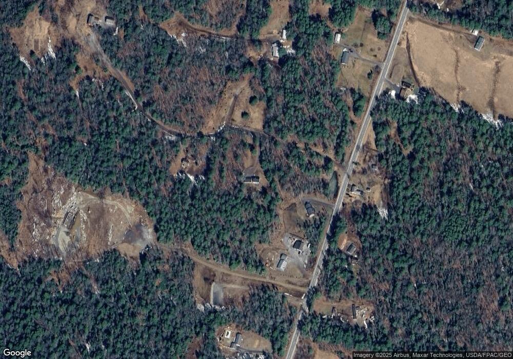
Map
Nearby Homes
- 0 White Rd
- 143 White Rd
- 744 Ridge Rd
- 83 Hemlock Hill Ln
- 458 Carding MacHine Rd
- 852 River Rd
- 258 Dingley Rd
- Lot 08 Sara's Way
- 185 Pleasant St
- 24 Stone Ridge Ln
- 1146 Post Rd
- 00 Skillings Dr
- 0 Norway Dr
- Lot 11E Baker Dr
- 10 Cork Cove Ln
- 36.5 Acres Augusta Rd
- 27 Gardiner St
- 22 Westwood Acres Rd
- 20 Eagle Point Rd
- 11 Center St