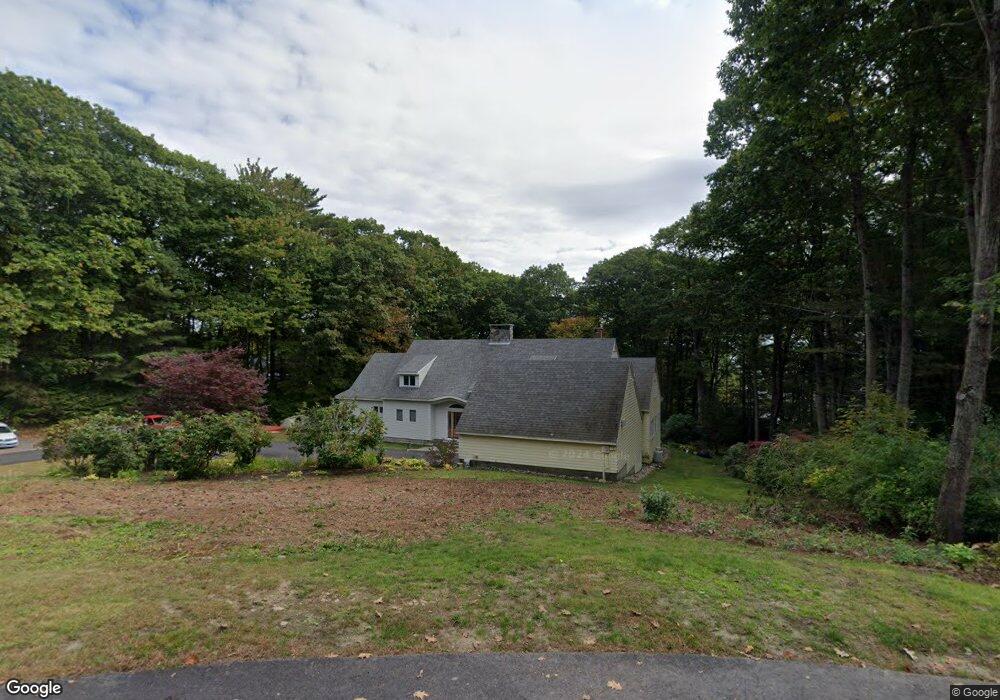
22 Coveside Rd Cumberland Foreside, ME 04110
Cumberland Foreside NeighborhoodEstimated Value: $1,723,686 - $2,008,000
4
Beds
4
Baths
5,281
Sq Ft
$351/Sq Ft
Est. Value
About This Home
This home is located at 22 Coveside Rd, Cumberland Foreside, ME 04110 and is currently estimated at $1,854,672, approximately $351 per square foot. 22 Coveside Rd is a home located in Cumberland County with nearby schools including Mabel I. Wilson School, Greely Middle School 4-5, and Greely Middle School.
Ownership History
Date
Name
Owned For
Owner Type
Purchase Details
Closed on
Aug 31, 2007
Sold by
Beckman Thomas M and Beckmann Terry J
Bought by
Hutnak Amy M
Current Estimated Value
Home Financials for this Owner
Home Financials are based on the most recent Mortgage that was taken out on this home.
Original Mortgage
$395,000
Interest Rate
6.71%
Mortgage Type
Purchase Money Mortgage
Create a Home Valuation Report for This Property
The Home Valuation Report is an in-depth analysis detailing your home's value as well as a comparison with similar homes in the area
Home Values in the Area
Average Home Value in this Area
Purchase History
| Date | Buyer | Sale Price | Title Company |
|---|---|---|---|
| Hutnak Amy M | -- | -- |
Source: Public Records
Mortgage History
| Date | Status | Borrower | Loan Amount |
|---|---|---|---|
| Closed | Hutnak Amy M | $280,000 | |
| Closed | Hutnak Amy M | $390,000 | |
| Closed | Hutnak Amy M | $100,000 | |
| Closed | Hutnak Amy M | $395,000 |
Source: Public Records
Tax History Compared to Growth
Tax History
| Year | Tax Paid | Tax Assessment Tax Assessment Total Assessment is a certain percentage of the fair market value that is determined by local assessors to be the total taxable value of land and additions on the property. | Land | Improvement |
|---|---|---|---|---|
| 2025 | $17,928 | $712,000 | $283,800 | $428,200 |
| 2024 | $16,554 | $712,000 | $283,800 | $428,200 |
| 2023 | $15,771 | $712,000 | $283,800 | $428,200 |
| 2022 | $15,094 | $712,000 | $283,800 | $428,200 |
| 2021 | $14,632 | $712,000 | $283,800 | $428,200 |
| 2020 | $14,489 | $712,000 | $283,800 | $428,200 |
| 2019 | $14,133 | $712,000 | $283,800 | $428,200 |
| 2018 | $14,026 | $712,000 | $283,800 | $428,200 |
| 2017 | $13,386 | $712,000 | $283,800 | $428,200 |
| 2016 | $12,994 | $712,000 | $283,800 | $428,200 |
| 2015 | $12,887 | $712,000 | $283,800 | $428,200 |
| 2014 | $12,389 | $712,000 | $283,800 | $428,200 |
| 2013 | $12,104 | $712,000 | $283,800 | $428,200 |
Source: Public Records
Map
Nearby Homes
- 186 Foreside Rd
- 15 Sea Cove Rd
- 258 Foreside Rd
- 59 Underwood Rd
- 24 York Ledge Dr
- 30 Seaside Way Unit Lot 3
- 263 Foreside Rd
- 51 Meeting House Farms Rd
- 78 Applegate Ln
- Lot 8 Coastal Pines
- 90 Harris Lot 1 Rd
- 11 Coastal Pines Lot 5
- 5 Harmony Way
- 39 Harris Rd
- 54 Longwoods Rd
- Lot 3 Dunham Ln
- 184 Spruce Point Rd
- Lot 2 Dunham Ln
- R03-54-4 Longwoods Rd
- 86 Pleasant St
- 21 Coveside Rd
- 25 Wildwood Blvd
- 20 Coveside Rd
- 95 Coveside Rd
- 29 Wildwood Blvd
- 21 Ocean Terrace
- 19 Coveside Rd
- 31 Wildwood Blvd
- 21 Wildwood Blvd
- 30 Wildwood Blvd
- 26 Wildwood Blvd
- 16 Coveside Rd
- 47 Sturdivant Rd
- 32 Wildwood Blvd
- 23 Sturdivant Rd
- 19 Wildwood Blvd
- 9 Ocean Terrace
- 22 Wildwood Blvd
- 9 Ocean Ave Unit 9
- 15 Coveside Rd