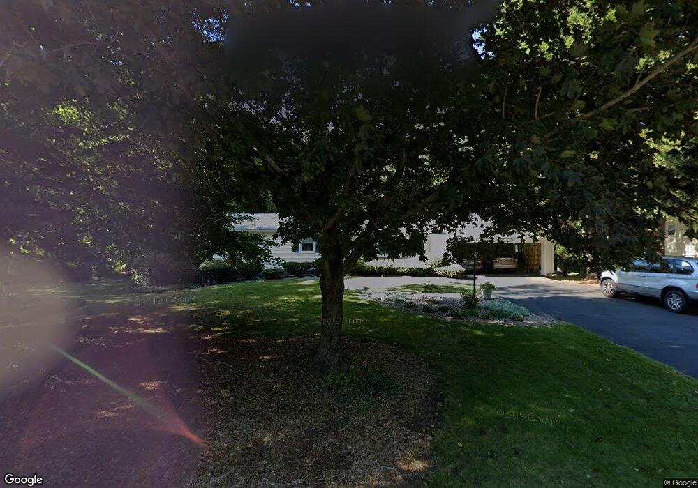
22 Cranbrook Dr Holden, MA 01520
Estimated Value: $513,000 - $642,000
3
Beds
2
Baths
1,574
Sq Ft
$356/Sq Ft
Est. Value
About This Home
This home is located at 22 Cranbrook Dr, Holden, MA 01520 and is currently estimated at $560,457, approximately $356 per square foot. 22 Cranbrook Dr is a home located in Worcester County with nearby schools including Wachusett Regional High School, Bancroft School, and Holden Christian Academy.
Ownership History
Date
Name
Owned For
Owner Type
Purchase Details
Closed on
Mar 17, 2020
Sold by
Mielinski Joseph J
Bought by
Mielinski Ft
Current Estimated Value
Purchase Details
Closed on
Sep 18, 1987
Sold by
Wilson Norman A
Bought by
Mielinski Paul J
Home Financials for this Owner
Home Financials are based on the most recent Mortgage that was taken out on this home.
Original Mortgage
$60,000
Interest Rate
10.37%
Create a Home Valuation Report for This Property
The Home Valuation Report is an in-depth analysis detailing your home's value as well as a comparison with similar homes in the area
Home Values in the Area
Average Home Value in this Area
Purchase History
| Date | Buyer | Sale Price | Title Company |
|---|---|---|---|
| Mielinski Ft | -- | None Available | |
| Mielinski Paul J | $172,900 | -- |
Source: Public Records
Mortgage History
| Date | Status | Borrower | Loan Amount |
|---|---|---|---|
| Previous Owner | Mielinski Paul J | $29,000 | |
| Previous Owner | Mielinski Paul J | $60,000 | |
| Previous Owner | Mielinski Paul J | $25,000 |
Source: Public Records
Tax History Compared to Growth
Tax History
| Year | Tax Paid | Tax Assessment Tax Assessment Total Assessment is a certain percentage of the fair market value that is determined by local assessors to be the total taxable value of land and additions on the property. | Land | Improvement |
|---|---|---|---|---|
| 2025 | $6,966 | $502,600 | $179,400 | $323,200 |
| 2024 | $6,798 | $480,400 | $174,000 | $306,400 |
| 2023 | $6,582 | $439,100 | $151,400 | $287,700 |
| 2022 | $6,417 | $387,500 | $118,400 | $269,100 |
| 2021 | $6,187 | $355,600 | $112,700 | $242,900 |
| 2020 | $5,646 | $332,100 | $107,300 | $224,800 |
| 2019 | $5,539 | $317,400 | $107,300 | $210,100 |
| 2018 | $2,728 | $294,800 | $102,300 | $192,500 |
| 2017 | $5,055 | $287,400 | $102,300 | $185,100 |
| 2016 | $4,742 | $274,900 | $97,200 | $177,700 |
| 2015 | $4,911 | $271,000 | $97,200 | $173,800 |
| 2014 | $4,810 | $271,000 | $97,200 | $173,800 |
Source: Public Records
Map
Nearby Homes
- 527 Salisbury St
- 27 Tea Party Cir Unit 27
- 10 Sumac Cir
- 156 Newell Rd
- 288 Fisher Rd
- 48 Lexington Cir
- 3901 Knightsbridge Close Unit 3901
- 4004 Brompton Cir
- 23 Gail Dr
- 168 Twinbrooke Dr
- 4 Barrows Rd
- 35 Chapin Rd
- 770 Salisbury St Unit 201
- 0 Chapin Rd
- 49 Barry Rd
- 12 Tattan Farm Rd
- 46 Barry Rd
- 9 Emily St
- 61 Barry Rd
- 7 Dubiel Dr
- 36 Cranbrook Dr
- 12 Cranbrook Dr
- 21 Cranbrook Dr
- 35 Cranbrook Dr
- 656 Salisbury St
- 44 Cranbrook Dr
- 664 Salisbury St
- 666 Salisbury St
- 646 Salisbury St
- 17 Cranbrook Dr
- 674 Salisbury St
- 43 Cranbrook Dr
- 644 Salisbury St
- 58 Cranbrook Dr
- 33 Mark Cir
- 9 Cranbrook Dr
- 31 Mark Cir
- 53 Cranbrook Dr
- 642 Salisbury St
- 663 Salisbury St