22 Cribstone View Rd Harpswell, ME 04079
Harpswell Neck NeighborhoodEstimated Value: $431,000 - $1,986,000
2
Beds
1
Bath
840
Sq Ft
$1,714/Sq Ft
Est. Value
About This Home
This home is located at 22 Cribstone View Rd, Harpswell, ME 04079 and is currently estimated at $1,439,829, approximately $1,714 per square foot. 22 Cribstone View Rd is a home with nearby schools including Mt Ararat High School.
Ownership History
Date
Name
Owned For
Owner Type
Purchase Details
Closed on
Jul 10, 2014
Sold by
Libby John
Bought by
Garner Robert and Garner Marie
Current Estimated Value
Purchase Details
Closed on
Apr 18, 2014
Sold by
Loiselle Donald and Loiselle Rebecca
Bought by
Libby John
Purchase Details
Closed on
Mar 9, 2005
Sold by
Rd Realty Inc
Bought by
Loiselle Rebecca and Loiselle Donald
Create a Home Valuation Report for This Property
The Home Valuation Report is an in-depth analysis detailing your home's value as well as a comparison with similar homes in the area
Home Values in the Area
Average Home Value in this Area
Purchase History
| Date | Buyer | Sale Price | Title Company |
|---|---|---|---|
| Garner Robert | -- | -- | |
| Libby John | -- | -- | |
| Loiselle Rebecca | -- | -- |
Source: Public Records
Tax History Compared to Growth
Tax History
| Year | Tax Paid | Tax Assessment Tax Assessment Total Assessment is a certain percentage of the fair market value that is determined by local assessors to be the total taxable value of land and additions on the property. | Land | Improvement |
|---|---|---|---|---|
| 2024 | $10,067 | $1,582,900 | $377,500 | $1,205,400 |
| 2023 | $9,656 | $1,582,900 | $377,500 | $1,205,400 |
| 2022 | $9,339 | $1,582,900 | $377,500 | $1,205,400 |
| 2021 | $8,292 | $1,226,700 | $386,800 | $839,900 |
| 2020 | $3,855 | $571,900 | $386,800 | $185,100 |
| 2019 | $3,832 | $571,900 | $386,800 | $185,100 |
| 2018 | $3,706 | $571,900 | $386,800 | $185,100 |
| 2017 | $3,694 | $571,900 | $386,800 | $185,100 |
| 2016 | $3,286 | $513,400 | $386,800 | $126,600 |
| 2015 | $3,008 | $482,100 | $386,800 | $95,300 |
| 2013 | $2,753 | $476,300 | $476,300 | $0 |
Source: Public Records
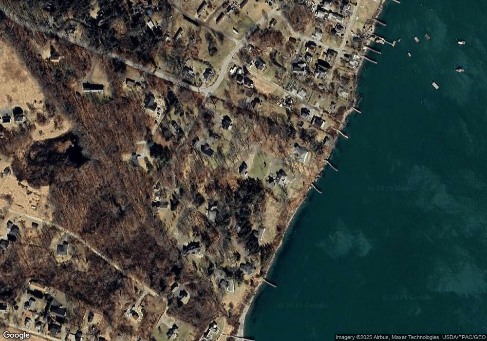
Map
Nearby Homes
- 10 Irene Ave
- 10 S Colony Branch Rd
- 30 Osbourne Row
- 16 Ash Point Rd Unit 16
- 18 Ash Point Rd
- 8 & 2 Kane Ln
- 6 Kane Ln
- 1450 Harpswell Neck Rd
- 1689 Harpswell Islands Rd
- 87 Lowells Cove Rd
- 19 Hugh Ave
- 20 Spruce Ledge Rd
- 1 Mallard Pond Rd
- 41 Spruce Brook Dr
- 0 Bayview Rd Unit 2 1632776
- Lot 2A Allen Point Rd
- Lot 2B Allen Point Rd
- Lot 129 Harpswell Neck Rd
- 20 Long Point Island
- lot C Long Point Rd
- 33 Twin Oaks Rd
- 2 Cribstone View Rd
- 21 Cribstone View Rd
- 21 Cribstone View Rd
- 9 Gilmore Dr
- TBD Twin Oaks Rd
- 37 Twin Oaks Rd
- 3 Twin Oaks Rd
- 12 Twin Oaks Rd
- 18 Stovers Ocean Ave
- 22 Stovers Ocean Ave
- 26 Stovers Ocean Ave
- 6 Stovers Ocean Ave
- 6 Stovers Ocean Ave
- 0 Stovers Ocean Ave
- 20 Gilmore Dr
- 28 Twin Oaks Rd
- 30 Twin Oaks Rd
- 40 Twin Oaks Rd
- 19 Stovers Ocean Ave