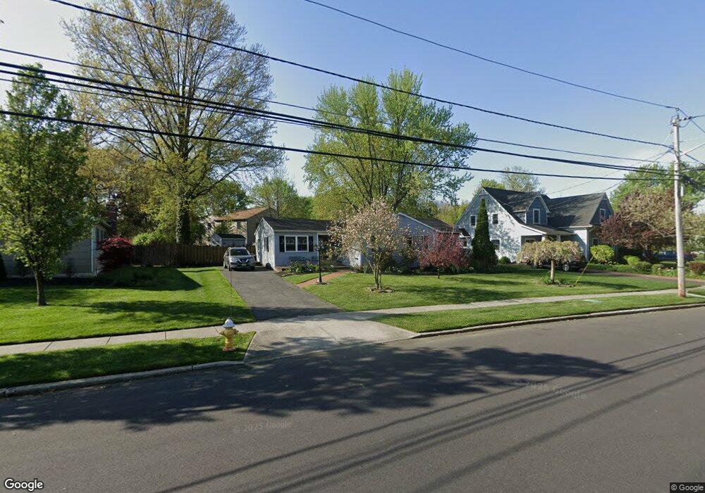
22 Crider Ave Moorestown, NJ 08057
Estimated Value: $427,542 - $502,000
--
Bed
--
Bath
1,720
Sq Ft
$267/Sq Ft
Est. Value
About This Home
This home is located at 22 Crider Ave, Moorestown, NJ 08057 and is currently estimated at $458,386, approximately $266 per square foot. 22 Crider Ave is a home located in Burlington County with nearby schools including Mary E. Roberts Elementary School, Moorestown Upper Elementary School, and William Allen Middle School.
Ownership History
Date
Name
Owned For
Owner Type
Purchase Details
Closed on
May 31, 2001
Sold by
Heal John W and Heal Marlyn
Bought by
Locatell Diane L
Current Estimated Value
Home Financials for this Owner
Home Financials are based on the most recent Mortgage that was taken out on this home.
Original Mortgage
$142,759
Outstanding Balance
$54,419
Interest Rate
7.15%
Mortgage Type
FHA
Estimated Equity
$403,967
Create a Home Valuation Report for This Property
The Home Valuation Report is an in-depth analysis detailing your home's value as well as a comparison with similar homes in the area
Home Values in the Area
Average Home Value in this Area
Purchase History
| Date | Buyer | Sale Price | Title Company |
|---|---|---|---|
| Locatell Diane L | $145,000 | -- |
Source: Public Records
Mortgage History
| Date | Status | Borrower | Loan Amount |
|---|---|---|---|
| Open | Locatell Diane L | $142,759 |
Source: Public Records
Tax History Compared to Growth
Tax History
| Year | Tax Paid | Tax Assessment Tax Assessment Total Assessment is a certain percentage of the fair market value that is determined by local assessors to be the total taxable value of land and additions on the property. | Land | Improvement |
|---|---|---|---|---|
| 2025 | $5,424 | $189,700 | $66,100 | $123,600 |
| 2024 | $5,260 | $189,700 | $66,100 | $123,600 |
| 2023 | $5,260 | $189,700 | $66,100 | $123,600 |
| 2022 | $5,234 | $189,700 | $66,100 | $123,600 |
| 2021 | $5,167 | $189,700 | $66,100 | $123,600 |
| 2020 | $5,133 | $189,700 | $66,100 | $123,600 |
| 2019 | $5,040 | $189,700 | $66,100 | $123,600 |
| 2018 | $4,892 | $189,700 | $66,100 | $123,600 |
| 2017 | $4,925 | $189,700 | $66,100 | $123,600 |
| 2016 | $4,902 | $189,700 | $66,100 | $123,600 |
| 2015 | $4,837 | $189,700 | $66,100 | $123,600 |
| 2014 | $4,600 | $189,700 | $66,100 | $123,600 |
Source: Public Records
Map
Nearby Homes
- 124 E Wilson Ave
- 205 Crider Ave Unit 205
- 106 Pine St
- 519 N Lincoln Ave
- 149 Chalkboard Ct
- 21 N Lenola Rd
- 14 Vincent Way
- 709 Manor Terrace
- 99 Grant Ave
- 206 E Camden Ave
- 801 E Camden Ave
- 114 Grant Ave
- 31 S Boulevard Ave
- 431 E Park Ave
- 702 E Main St
- 15 S Pine Ave
- 531 Covington Terrace
- 124 Stiles Ave
- 44 S Pine Ave
- 202 S Cedar Ave