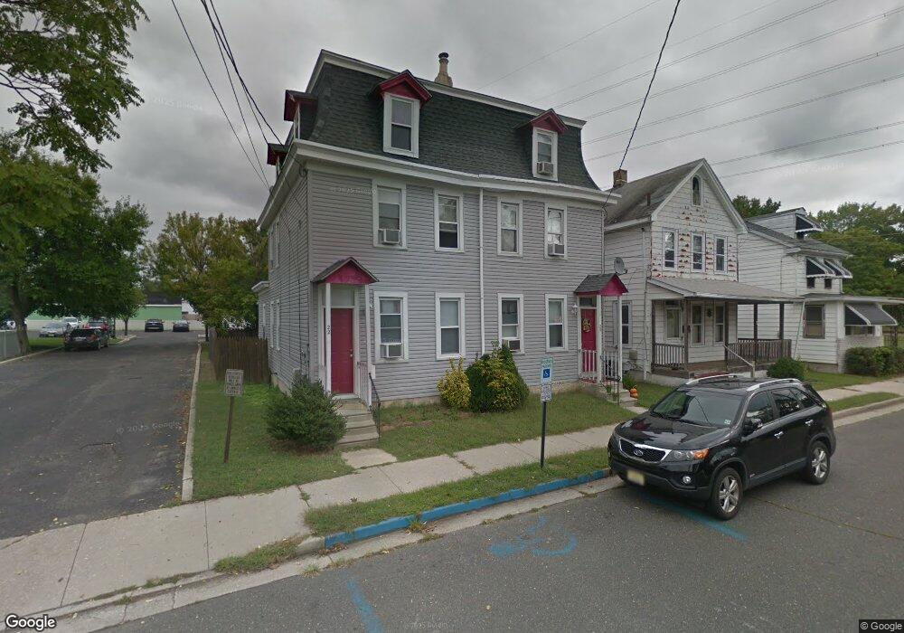
22 Dare St Unit 24 Woodbury, NJ 08096
Estimated Value: $287,000 - $339,000
4
Beds
1
Bath
3,264
Sq Ft
$98/Sq Ft
Est. Value
About This Home
This home is located at 22 Dare St Unit 24, Woodbury, NJ 08096 and is currently estimated at $320,029, approximately $98 per square foot. 22 Dare St Unit 24 is a home located in Gloucester County with nearby schools including Woodbury Junior/Senior High School and Holy Angels Catholic School.
Ownership History
Date
Name
Owned For
Owner Type
Purchase Details
Closed on
Nov 12, 2021
Sold by
Folsom Buddy Jason and Naylor Steven
Bought by
Sisco Je Sus E
Current Estimated Value
Home Financials for this Owner
Home Financials are based on the most recent Mortgage that was taken out on this home.
Original Mortgage
$206,196
Interest Rate
2.98%
Mortgage Type
FHA
Purchase Details
Closed on
Oct 21, 2017
Sold by
Folsem Buddy J and Naylor Steven A
Bought by
Strategic Business Investments Llc
Home Financials for this Owner
Home Financials are based on the most recent Mortgage that was taken out on this home.
Original Mortgage
$145,000
Interest Rate
3.78%
Mortgage Type
Commercial
Purchase Details
Closed on
Aug 31, 2007
Sold by
Folsom Jason and Folsem Buddy J
Bought by
Folsem Buddy J and Naylor Steven A
Purchase Details
Closed on
Mar 23, 2007
Sold by
Lewis Paul B
Bought by
Folsom Jason
Home Financials for this Owner
Home Financials are based on the most recent Mortgage that was taken out on this home.
Original Mortgage
$124,000
Interest Rate
6.25%
Mortgage Type
New Conventional
Purchase Details
Closed on
Nov 14, 1997
Sold by
Flaherty Shawn and Flaherty Maria F
Bought by
Hastings James S and Hastings Renee R
Home Financials for this Owner
Home Financials are based on the most recent Mortgage that was taken out on this home.
Original Mortgage
$88,000
Interest Rate
7.17%
Mortgage Type
FHA
Purchase Details
Closed on
Oct 29, 1997
Sold by
Arthurs Ellis Thomas and Arthurs Barbara T
Bought by
Lewis Paul B
Home Financials for this Owner
Home Financials are based on the most recent Mortgage that was taken out on this home.
Original Mortgage
$88,000
Interest Rate
7.17%
Mortgage Type
FHA
Purchase Details
Closed on
Nov 7, 1996
Sold by
Arthurs and Bowman
Bought by
Arthurs Ellis T and Arthurs Barbara T
Home Financials for this Owner
Home Financials are based on the most recent Mortgage that was taken out on this home.
Original Mortgage
$56,400
Interest Rate
7.81%
Create a Home Valuation Report for This Property
The Home Valuation Report is an in-depth analysis detailing your home's value as well as a comparison with similar homes in the area
Home Values in the Area
Average Home Value in this Area
Purchase History
| Date | Buyer | Sale Price | Title Company |
|---|---|---|---|
| Sisco Je Sus E | $210,000 | Foundation Title Llc | |
| Sisco Je-Sus E | $210,000 | Rothamel John D | |
| Strategic Business Investments Llc | $145,000 | Coretitle | |
| Folsem Buddy J | -- | Independence Abstract & Titl | |
| Folsem Buddy J | -- | Independence Abstract & Titl | |
| Folsom Jason | $155,000 | Foundation Title Llc | |
| Hastings James S | $127,500 | Lawrence Abstract Company | |
| Lewis Paul B | $110,000 | Federation Title Agency Inc | |
| Arthurs Ellis T | -- | -- |
Source: Public Records
Mortgage History
| Date | Status | Borrower | Loan Amount |
|---|---|---|---|
| Previous Owner | Sisco Je-Sus E | $206,196 | |
| Previous Owner | Strategic Business Investments Llc | $145,000 | |
| Previous Owner | Folsom Jason | $124,000 | |
| Previous Owner | Hastings James S | $88,000 | |
| Previous Owner | Arthurs Ellis T | $56,400 |
Source: Public Records
Tax History Compared to Growth
Tax History
| Year | Tax Paid | Tax Assessment Tax Assessment Total Assessment is a certain percentage of the fair market value that is determined by local assessors to be the total taxable value of land and additions on the property. | Land | Improvement |
|---|---|---|---|---|
| 2025 | $8,212 | $170,700 | $24,000 | $146,700 |
| 2024 | $7,920 | $170,700 | $24,000 | $146,700 |
| 2023 | $7,920 | $170,700 | $24,000 | $146,700 |
| 2022 | $7,781 | $170,700 | $24,000 | $146,700 |
| 2021 | $7,678 | $170,700 | $24,000 | $146,700 |
| 2020 | $8,316 | $168,400 | $26,700 | $141,700 |
| 2019 | $8,036 | $168,400 | $26,700 | $141,700 |
| 2018 | $7,858 | $168,400 | $26,700 | $141,700 |
| 2017 | $7,725 | $168,400 | $26,700 | $141,700 |
| 2016 | $7,617 | $168,400 | $26,700 | $141,700 |
| 2015 | $7,492 | $168,400 | $26,700 | $141,700 |
| 2014 | $7,374 | $168,400 | $26,700 | $141,700 |
Source: Public Records
Map
Nearby Homes
- 723 N Broad St
- 34 Chestnut St
- 13 Dubois Ave
- 671 Washington Ave
- 626 Green St
- 54 W Packer St
- 654 Frances Ave
- 353 Dare St
- 131 Watkins Ave
- 338 E Red Bank Ave
- 121 Crescent Ave
- 193 Dubois Ave
- 719 Shields Ave
- 575 Lawnton Ave
- 112 Progress Ave
- 56 Fisher Ave
- 210 Lawnton Ave
- 66 Hessian Ave
- 204 Hunter St
- 17 Magnolia St
- 22-24 Dare St
- 24 Dare St
- 16 Dare St
- 30 Dare St
- 12 Dare St
- 34 Dare St
- 21 Dare St
- 27 Dare St
- 718 N Broad St
- 686 N Broad St
- 688 N Broad St
- 688 N Broad St Unit 2
- 673 Green St
- 678 N Broad St
- 0 N Broad St Unit 6656494
- 713 Washington Ave
- 719 Washington Ave
- 709 Washington Ave
- 723 Washington Ave
- 669 Green St