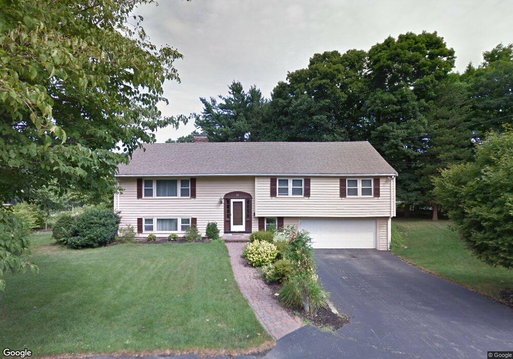
22 Dartmouth St Winchester, MA 01890
The Flats NeighborhoodEstimated Value: $2,046,000 - $2,466,000
3
Beds
3
Baths
2,761
Sq Ft
$828/Sq Ft
Est. Value
About This Home
This home is located at 22 Dartmouth St, Winchester, MA 01890 and is currently estimated at $2,286,072, approximately $827 per square foot. 22 Dartmouth St is a home located in Middlesex County with nearby schools including Vinson-Owen Elementary School, McCall Middle School, and Winchester High School.
Ownership History
Date
Name
Owned For
Owner Type
Purchase Details
Closed on
Oct 23, 2015
Sold by
Curtin Robert D and Curtin Jacqueline M
Bought by
Statires Andrew and Statires Melissa
Current Estimated Value
Purchase Details
Closed on
Aug 1, 2007
Sold by
Colantino Donald J and Colantino Elizabeth
Bought by
D & E Nt
Create a Home Valuation Report for This Property
The Home Valuation Report is an in-depth analysis detailing your home's value as well as a comparison with similar homes in the area
Home Values in the Area
Average Home Value in this Area
Purchase History
| Date | Buyer | Sale Price | Title Company |
|---|---|---|---|
| Statires Andrew | $1,325,000 | -- | |
| D & E Nt | -- | -- |
Source: Public Records
Tax History Compared to Growth
Tax History
| Year | Tax Paid | Tax Assessment Tax Assessment Total Assessment is a certain percentage of the fair market value that is determined by local assessors to be the total taxable value of land and additions on the property. | Land | Improvement |
|---|---|---|---|---|
| 2025 | $235 | $2,114,900 | $1,709,400 | $405,500 |
| 2024 | $23,389 | $2,064,300 | $1,659,400 | $404,900 |
| 2023 | $22,477 | $1,904,800 | $1,559,400 | $345,400 |
| 2022 | $21,131 | $1,689,100 | $1,350,800 | $338,300 |
| 2021 | $10,990 | $1,521,100 | $1,182,800 | $338,300 |
| 2020 | $11,706 | $1,521,100 | $1,182,800 | $338,300 |
| 2019 | $10,590 | $1,377,100 | $1,038,800 | $338,300 |
| 2018 | $15,698 | $1,287,800 | $954,300 | $333,500 |
| 2017 | $14,901 | $1,213,400 | $908,100 | $305,300 |
| 2016 | $14,173 | $1,213,400 | $908,100 | $305,300 |
| 2015 | $13,472 | $1,109,700 | $825,700 | $284,000 |
| 2014 | $12,921 | $1,020,600 | $751,300 | $269,300 |
Source: Public Records
Map
Nearby Homes
- 44 Cabot St
- 32 Woodside Rd
- 6 Ivy Cir
- 9 Norfolk Rd
- 89 Wildwood St
- 1 Copley St
- 15 Wildwood St
- 149 Horn Pond Brook Rd
- 6 Wyman Ct Unit 6
- 4 Wyman Ct Unit 4
- 104 Church St
- 62 Richardson St
- 19 Glengarry Rd
- 10 Sheffield Rd
- 46 Church St
- 666 Main St Unit 312
- 36 Elmwood Ave Unit 2
- 2 Everett Ave
- 7 Wainwright Rd Unit 118
- 200 Swanton St Unit 636