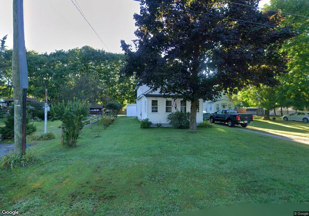
22 David St Dalton, MA 01226
Estimated Value: $256,000 - $275,000
3
Beds
1
Bath
1,037
Sq Ft
$256/Sq Ft
Est. Value
About This Home
This home is located at 22 David St, Dalton, MA 01226 and is currently estimated at $265,755, approximately $256 per square foot. 22 David St is a home located in Berkshire County with nearby schools including Wahconah Regional High School and St. Agnes Academy.
Create a Home Valuation Report for This Property
The Home Valuation Report is an in-depth analysis detailing your home's value as well as a comparison with similar homes in the area
Home Values in the Area
Average Home Value in this Area
Tax History
| Year | Tax Paid | Tax Assessment Tax Assessment Total Assessment is a certain percentage of the fair market value that is determined by local assessors to be the total taxable value of land and additions on the property. | Land | Improvement |
|---|---|---|---|---|
| 2025 | $4,068 | $224,400 | $61,400 | $163,000 |
| 2024 | $3,815 | $209,600 | $56,000 | $153,600 |
| 2023 | $3,229 | $181,100 | $52,100 | $129,000 |
| 2022 | $3,229 | $155,700 | $52,100 | $103,600 |
| 2021 | $3,168 | $147,300 | $49,100 | $98,200 |
| 2020 | $2,875 | $141,700 | $49,100 | $92,600 |
| 2019 | $2,684 | $137,800 | $51,900 | $85,900 |
| 2018 | $2,678 | $134,500 | $51,900 | $82,600 |
| 2017 | $2,673 | $134,500 | $51,900 | $82,600 |
| 2016 | $2,640 | $134,500 | $51,900 | $82,600 |
| 2015 | $2,496 | $128,200 | $47,400 | $80,800 |
Source: Public Records
Map
Nearby Homes
- 60 Franklin St
- 188 North St
- 249 Orchard Rd
- 20 Prospect St
- 70 Lake St Unit B
- 0 Crane Ave Suite 2 -- Unit 248430
- 0 Crane Ave Suite 1 -- Unit 248429
- 32 Marcella Way
- 60 North St Unit 7
- 1157 Main St
- 750 Main St
- 18 Chestnut St
- 65 Johnson Rd
- 218 Johnson Rd
- 190 Fox Rd
- 39 Barton Hill Rd
- 0 Crane Ave
- 127 Pinecrest Dr
- 149 Kittredge Rd
- 121 Kittredge Rd
Your Personal Tour Guide
Ask me questions while you tour the home.