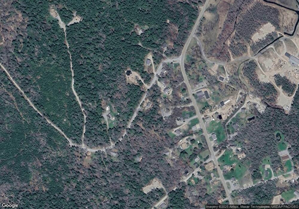
22 Dow Point Rd Seal Cove, ME 04674
Estimated Value: $359,042 - $428,000
--
Bed
--
Bath
--
Sq Ft
1
Acres
About This Home
This home is located at 22 Dow Point Rd, Seal Cove, ME 04674 and is currently estimated at $401,347. 22 Dow Point Rd is a home with nearby schools including Tremont Consolidated School and Mt. Desert Island High School.
Ownership History
Date
Name
Owned For
Owner Type
Purchase Details
Closed on
May 5, 2005
Sold by
Hodgdon Frank and Hodgdon Judy
Bought by
Ponczek Henryetta A
Current Estimated Value
Home Financials for this Owner
Home Financials are based on the most recent Mortgage that was taken out on this home.
Original Mortgage
$45,000
Outstanding Balance
$7,503
Interest Rate
5%
Mortgage Type
Commercial
Estimated Equity
$393,844
Create a Home Valuation Report for This Property
The Home Valuation Report is an in-depth analysis detailing your home's value as well as a comparison with similar homes in the area
Home Values in the Area
Average Home Value in this Area
Purchase History
| Date | Buyer | Sale Price | Title Company |
|---|---|---|---|
| Ponczek Henryetta A | -- | -- |
Source: Public Records
Mortgage History
| Date | Status | Borrower | Loan Amount |
|---|---|---|---|
| Open | Ponczek Henryetta A | $45,000 |
Source: Public Records
Tax History Compared to Growth
Tax History
| Year | Tax Paid | Tax Assessment Tax Assessment Total Assessment is a certain percentage of the fair market value that is determined by local assessors to be the total taxable value of land and additions on the property. | Land | Improvement |
|---|---|---|---|---|
| 2024 | $3,021 | $326,600 | $135,000 | $191,600 |
| 2023 | $2,309 | $180,100 | $83,000 | $97,100 |
| 2022 | $2,096 | $180,100 | $83,000 | $97,100 |
| 2021 | $1,999 | $179,300 | $83,000 | $96,300 |
| 2020 | $1,917 | $179,300 | $83,000 | $96,300 |
| 2019 | $1,859 | $179,300 | $83,000 | $96,300 |
| 2018 | $1,859 | $179,300 | $83,000 | $96,300 |
| 2017 | $1,775 | $179,300 | $83,000 | $96,300 |
| 2016 | $1,703 | $179,300 | $83,000 | $96,300 |
| 2015 | $1,685 | $179,300 | $83,000 | $96,300 |
| 2014 | $1,667 | $188,600 | $92,300 | $96,300 |
| 2013 | $1,650 | $188,600 | $92,300 | $96,300 |
Source: Public Records
Map
Nearby Homes
- 821 Tremont Rd
- 792 Tremont Rd
- 792 Tremont Rd
- 8 Bar Island
- 48 Kelleytown Rd
- 290 Clark Point Rd
- 26 Clark Point Rd
- 508 Tremont Rd
- 177 Richtown Rd
- 28 Mount Gilboa Way
- 23 Mount Gilboa Way
- 142 Seal Cove Rd
- 26 Cape Rd
- 2 Bar Island
- 25 Long Pond Rd
- 16 Long Pond Rd
- 17 Freeman Ridge Rd
- 17 Bayberry Ln
- 102 Bernard Rd
- 100 Bass Harbor Rd
- 944 Tremont Rd
- 3 Woodrow Ln
- 9 Woodrow Ln
- 102 Woodrow Ln
- 3 Woodrow Ln
- 45 Dow Point Rd
- 9 Dow Point Rd
- 940 Tremont Rd
- 940 Tremont Rd
- 0 Dow Point Rd Unit 916871
- 0 Dow Point Rd Unit 937737
- 0 Dow Point Rd Unit 980010
- 0 Dow Point Rd Unit 979992
- 0 Dow Point Rd Unit 1221280
- 0 Dow Point Rd Unit 1285018
- 9 Dow Point Rd
- 947 Tremont Rd
- 926 Tremont Rd
- 36 Dow Point Rd
- 939 Tremont Rd
