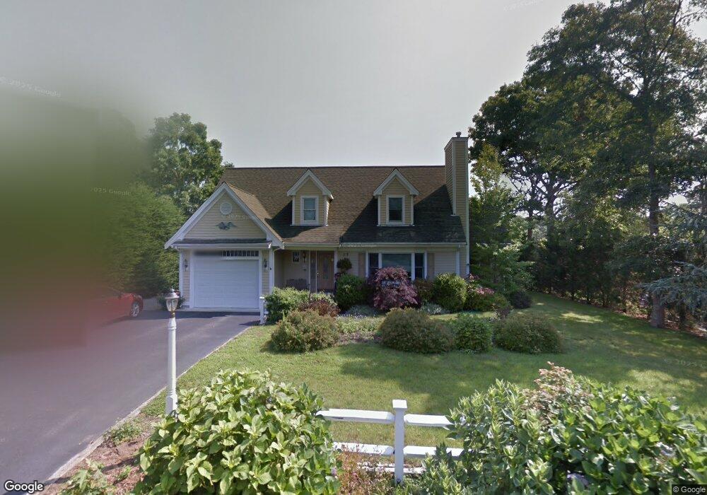
22 Dunstable Cross Rd South Dennis, MA 02660
South Dennis NeighborhoodEstimated Value: $734,000 - $842,000
3
Beds
3
Baths
2,107
Sq Ft
$367/Sq Ft
Est. Value
About This Home
This home is located at 22 Dunstable Cross Rd, South Dennis, MA 02660 and is currently estimated at $772,336, approximately $366 per square foot. 22 Dunstable Cross Rd is a home located in Barnstable County with nearby schools including Dennis-Yarmouth Regional High School and St. Pius X. School.
Ownership History
Date
Name
Owned For
Owner Type
Purchase Details
Closed on
Mar 15, 2012
Sold by
Anderson Harold D and Anderson Patricia E
Bought by
Anderson Patricia E
Current Estimated Value
Purchase Details
Closed on
Dec 15, 1999
Sold by
Rogers G Kenneth and Rogers Gertrude E
Bought by
Anderson Harold D and Anderson Patricia E
Create a Home Valuation Report for This Property
The Home Valuation Report is an in-depth analysis detailing your home's value as well as a comparison with similar homes in the area
Home Values in the Area
Average Home Value in this Area
Purchase History
| Date | Buyer | Sale Price | Title Company |
|---|---|---|---|
| Anderson Patricia E | -- | -- | |
| Anderson Harold D | $50,000 | -- |
Source: Public Records
Tax History Compared to Growth
Tax History
| Year | Tax Paid | Tax Assessment Tax Assessment Total Assessment is a certain percentage of the fair market value that is determined by local assessors to be the total taxable value of land and additions on the property. | Land | Improvement |
|---|---|---|---|---|
| 2025 | $3,397 | $784,500 | $134,500 | $650,000 |
| 2024 | $3,329 | $758,400 | $129,300 | $629,100 |
| 2023 | $3,254 | $696,800 | $117,500 | $579,300 |
| 2022 | $3,118 | $556,700 | $117,700 | $439,000 |
| 2021 | $3,013 | $499,700 | $115,300 | $384,400 |
| 2020 | $199 | $482,000 | $115,300 | $366,700 |
| 2019 | $2,809 | $455,300 | $124,400 | $330,900 |
| 2018 | $223 | $427,300 | $107,700 | $319,600 |
| 2017 | $2,628 | $427,300 | $107,700 | $319,600 |
| 2016 | $2,517 | $385,400 | $113,000 | $272,400 |
| 2015 | $2,467 | $385,400 | $113,000 | $272,400 |
| 2014 | $2,291 | $360,800 | $96,900 | $263,900 |
Source: Public Records
Map
Nearby Homes
- 26 Dunstable Cross Rd
- 277 Old Bass River Rd
- 281 Old Bass River Rd
- 25 Dunstable Cross Rd
- 269 Old Bass River Rd
- 2 Charing Cross Rd
- 30 Dunstable Cross Rd
- 12 Dunstable Cross Rd
- 285 Old Bass River Rd
- 8 Charing Cross Rd
- 9 Dunstable Cross Rd
- 7 Avon Ln
- 34 Dunstable Cross Rd
- 268 Old Bass River Rd
- 4 Avon Ln
- 8 Dunstable Cross Rd
- 263 Old Bass River Rd
- 1 Charing Cross Rd
- 260 Old Bass River Rd
- 291 Old Bass River Rd