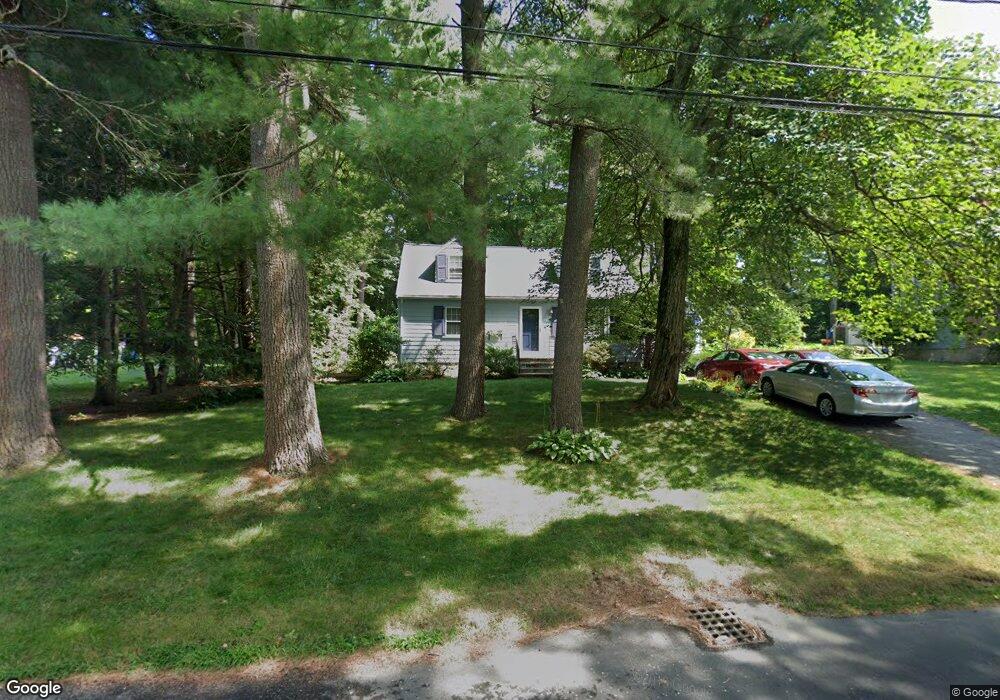
22 Dunster Rd Bedford, MA 01730
Estimated Value: $808,011 - $974,000
4
Beds
2
Baths
1,568
Sq Ft
$568/Sq Ft
Est. Value
About This Home
This home is located at 22 Dunster Rd, Bedford, MA 01730 and is currently estimated at $891,003, approximately $568 per square foot. 22 Dunster Rd is a home located in Middlesex County with nearby schools including Lt. Elezer Davis Elementary School, Lt .Job Lane Elementary School, and John Glenn Middle School.
Ownership History
Date
Name
Owned For
Owner Type
Purchase Details
Closed on
Sep 29, 2025
Sold by
Power Leo F
Bought by
Power Dunster Road Ft and Power
Current Estimated Value
Purchase Details
Closed on
Dec 3, 2014
Sold by
Jarvis Albie P and Jarvis Kathryn E
Bought by
Jarvis Ft and Jarvis
Purchase Details
Closed on
Jul 31, 1996
Sold by
Taylor Paul E and Taylor Yoko
Bought by
Jarvis Albie and Jarvis Kathryn
Purchase Details
Closed on
Nov 19, 1990
Sold by
Gray David C
Bought by
Taylor Paul E
Purchase Details
Closed on
Jun 15, 1987
Sold by
Worobec Thomas G
Bought by
Worobec Plimp Anne
Create a Home Valuation Report for This Property
The Home Valuation Report is an in-depth analysis detailing your home's value as well as a comparison with similar homes in the area
Home Values in the Area
Average Home Value in this Area
Purchase History
| Date | Buyer | Sale Price | Title Company |
|---|---|---|---|
| Power Dunster Road Ft | -- | -- | |
| Jarvis Ft | -- | -- | |
| Jarvis Ft | -- | -- | |
| Jarvis Albie | $217,300 | -- | |
| Jarvis Albie | $217,300 | -- | |
| Taylor Paul E | $205,500 | -- | |
| Worobec Plimp Anne | $286,700 | -- |
Source: Public Records
Mortgage History
| Date | Status | Borrower | Loan Amount |
|---|---|---|---|
| Previous Owner | Worobec Plimp Anne | $150,000 | |
| Previous Owner | Worobec Plimp Anne | $100,000 |
Source: Public Records
Tax History Compared to Growth
Tax History
| Year | Tax Paid | Tax Assessment Tax Assessment Total Assessment is a certain percentage of the fair market value that is determined by local assessors to be the total taxable value of land and additions on the property. | Land | Improvement |
|---|---|---|---|---|
| 2025 | $85 | $706,600 | $492,000 | $214,600 |
| 2024 | $7,994 | $672,900 | $468,600 | $204,300 |
| 2023 | $7,665 | $614,200 | $442,500 | $171,700 |
| 2022 | $7,510 | $553,000 | $402,600 | $150,400 |
| 2021 | $7,178 | $530,500 | $390,500 | $140,000 |
| 2020 | $6,992 | $530,500 | $390,500 | $140,000 |
| 2019 | $6,845 | $528,200 | $390,500 | $137,700 |
| 2018 | $7,192 | $511,100 | $371,700 | $139,400 |
| 2017 | $7,013 | $473,500 | $318,900 | $154,600 |
| 2016 | $6,843 | $447,844 | $303,700 | $144,144 |
| 2015 | $6,547 | $447,844 | $303,700 | $144,144 |
| 2014 | $6,487 | $412,900 | $260,300 | $152,600 |
Source: Public Records
Map
Nearby Homes
- 10 Nickerson Rd
- 10 Webber Ave Unit 1A
- 10 Webber Ave Unit 3C
- 10 Webber Ave Unit 4D
- 22 Springs Rd
- 36 Loomis St Unit 104
- 36 Loomis St Unit 301
- 36 Loomis St Unit 404
- 176 Old Billerica Rd
- 24 Dunelm Rd
- 62 Carlisle Rd
- 80 Wilson Rd
- 1 Harvard Dr
- 37 Pine St
- 12 Mitchell Grant Way
- 110 Wilson Rd Unit 1
- 39 Neillian St Unit 39
- 251A Old Billerica Rd
- 83 Winter St
- 25 Pickman Dr Unit 25