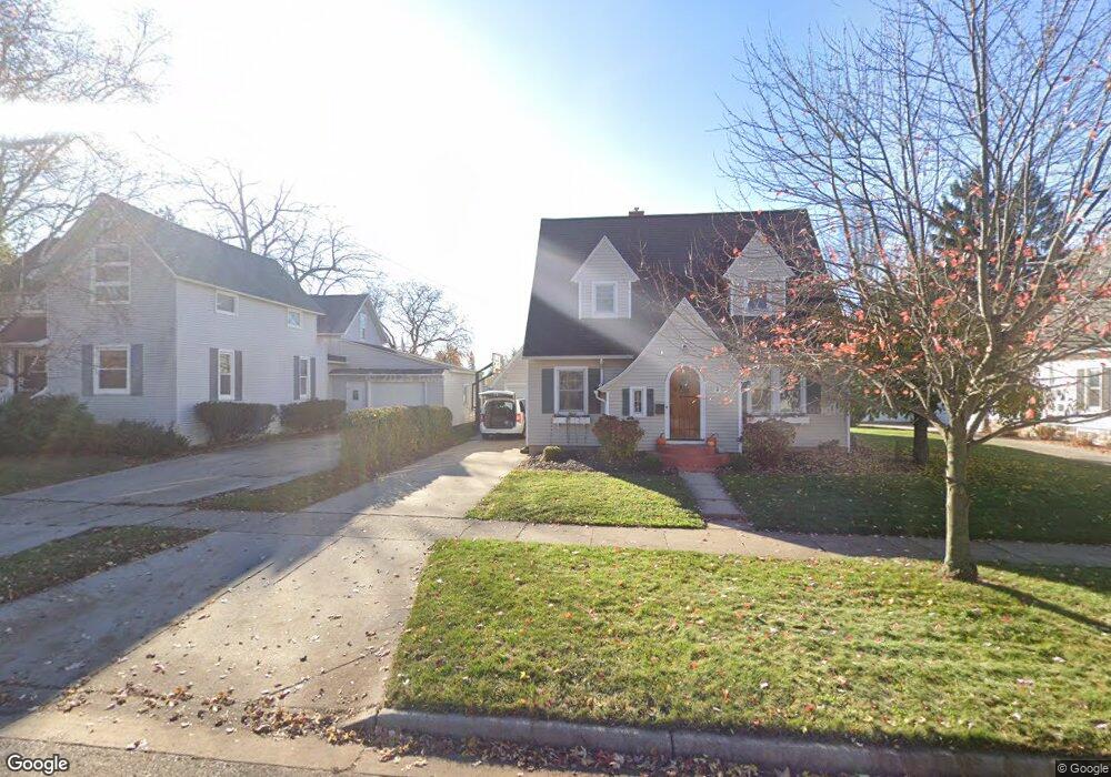
22 E Pine St Fremont, MI 49412
Estimated Value: $241,859 - $289,000
Studio
--
Bath
--
Sq Ft
13,504
Sq Ft Lot
About This Home
This home is located at 22 E Pine St, Fremont, MI 49412 and is currently estimated at $269,215. 22 E Pine St is a home located in Newaygo County with nearby schools including Daisy Brook Elementary School, Pathfinder Elementary School, and Quest High School.
Ownership History
Date
Name
Owned For
Owner Type
Purchase Details
Closed on
Oct 24, 2014
Sold by
Byrne Rhonda and Byrne David
Bought by
Byrne David M and Byrne Rhonda
Current Estimated Value
Purchase Details
Closed on
Apr 21, 2014
Sold by
Byrne David M and Byrne Rhonda
Bought by
David M Byrne Trust
Home Financials for this Owner
Home Financials are based on the most recent Mortgage that was taken out on this home.
Original Mortgage
$95,000
Interest Rate
4.33%
Mortgage Type
Purchase Money Mortgage
Create a Home Valuation Report for This Property
The Home Valuation Report is an in-depth analysis detailing your home's value as well as a comparison with similar homes in the area
Home Values in the Area
Average Home Value in this Area
Purchase History
| Date | Buyer | Sale Price | Title Company |
|---|---|---|---|
| Byrne David M | -- | -- | |
| David M Byrne Trust | -- | Lighthouse Title Agency | |
| Byrne David M | -- | Lighthouse Title Agency |
Source: Public Records
Mortgage History
| Date | Status | Borrower | Loan Amount |
|---|---|---|---|
| Previous Owner | Byrne David M | $95,000 |
Source: Public Records
Tax History
| Year | Tax Paid | Tax Assessment Tax Assessment Total Assessment is a certain percentage of the fair market value that is determined by local assessors to be the total taxable value of land and additions on the property. | Land | Improvement |
|---|---|---|---|---|
| 2025 | $2,946 | $126,900 | $0 | $0 |
| 2024 | $29 | $120,800 | $0 | $0 |
| 2023 | $2,733 | $106,500 | $0 | $0 |
| 2022 | $3,421 | $96,000 | $0 | $0 |
| 2021 | $3,309 | $86,700 | $0 | $0 |
| 2020 | $3,269 | $85,700 | $0 | $0 |
| 2019 | $3,131 | $76,900 | $0 | $0 |
| 2018 | $3,057 | $75,200 | $0 | $0 |
| 2017 | $3,011 | $71,500 | $0 | $0 |
| 2016 | $2,782 | $69,600 | $0 | $0 |
| 2015 | -- | $68,600 | $0 | $0 |
| 2014 | -- | $62,800 | $0 | $0 |
Source: Public Records
Map
Nearby Homes
- 28 E Pine St
- 34 E Pine St
- 410 S Division Ave
- 15 E Pine St
- 416 S Division Ave
- 40 E Pine St
- 33 E Pine St
- 316 S Division Ave
- 422 S Division Ave
- 104 E Pine St
- 22 E Oak St
- 16 E Oak St
- 310 S Division Ave
- 430 S Division Ave
- 28 E Oak St
- 409 S Division Ave
- 103 E Pine St
- 34 E Oak St
- 4 E Oak St
- 415 S Division Ave
Your Personal Tour Guide
Ask me questions while you tour the home.