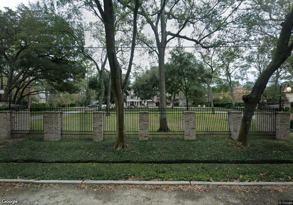
22 E Rivercrest Dr Houston, TX 77042
Briar Forest NeighborhoodEstimated Value: $4,394,000 - $5,273,237
6
Beds
6
Baths
6,034
Sq Ft
$817/Sq Ft
Est. Value
About This Home
This home is located at 22 E Rivercrest Dr, Houston, TX 77042 and is currently estimated at $4,932,412, approximately $817 per square foot. 22 E Rivercrest Dr is a home located in Harris County with nearby schools including Walnut Bend Elementary School, Paul Revere Middle School, and Westside High School.
Ownership History
Date
Name
Owned For
Owner Type
Purchase Details
Closed on
Jun 15, 1999
Sold by
Block Christopher M and Block Stacy
Bought by
Poujol Michael A and Poujol Angela G
Current Estimated Value
Home Financials for this Owner
Home Financials are based on the most recent Mortgage that was taken out on this home.
Original Mortgage
$999,999
Outstanding Balance
$263,081
Interest Rate
7.02%
Mortgage Type
Construction
Estimated Equity
$4,669,331
Purchase Details
Closed on
Jun 3, 1996
Sold by
Molina Marcel and Vedia Marcel Molina Y
Bought by
Block Christopher M
Home Financials for this Owner
Home Financials are based on the most recent Mortgage that was taken out on this home.
Original Mortgage
$825,000
Interest Rate
7.92%
Create a Home Valuation Report for This Property
The Home Valuation Report is an in-depth analysis detailing your home's value as well as a comparison with similar homes in the area
Home Values in the Area
Average Home Value in this Area
Purchase History
| Date | Buyer | Sale Price | Title Company |
|---|---|---|---|
| Poujol Michael A | -- | -- | |
| Block Christopher M | -- | American Title Co |
Source: Public Records
Mortgage History
| Date | Status | Borrower | Loan Amount |
|---|---|---|---|
| Open | Poujol Michael A | $999,999 | |
| Previous Owner | Block Christopher M | $825,000 |
Source: Public Records
Tax History Compared to Growth
Tax History
| Year | Tax Paid | Tax Assessment Tax Assessment Total Assessment is a certain percentage of the fair market value that is determined by local assessors to be the total taxable value of land and additions on the property. | Land | Improvement |
|---|---|---|---|---|
| 2025 | $52,621 | $3,820,886 | $2,661,950 | $1,158,936 |
| 2024 | $52,621 | $3,501,065 | $2,281,671 | $1,219,394 |
| 2023 | $52,621 | $3,250,000 | $2,281,671 | $968,329 |
| 2022 | $55,697 | $3,000,000 | $2,028,152 | $971,848 |
| 2021 | $69,295 | $2,888,000 | $2,028,152 | $859,848 |
| 2020 | $69,307 | $2,862,060 | $2,028,152 | $833,908 |
| 2019 | $66,505 | $2,628,206 | $2,028,152 | $600,054 |
| 2018 | $53,166 | $2,628,206 | $2,028,152 | $600,054 |
| 2017 | $68,082 | $2,692,500 | $2,028,152 | $664,348 |
| 2016 | $72,317 | $2,980,000 | $2,028,152 | $951,848 |
| 2015 | $51,413 | $2,600,000 | $1,647,874 | $952,126 |
| 2014 | $51,413 | $2,495,741 | $1,489,424 | $1,006,317 |
Source: Public Records
Map
Nearby Homes
- 12 E Rivercrest Dr
- 30 E Rivercrest Dr
- 2100 Tanglewilde St Unit 750
- 2100 Tanglewilde St Unit 169
- 2100 Tanglewilde St Unit 536
- 2100 Tanglewilde St Unit 402
- 2100 Tanglewilde St Unit 422
- 2100 Tanglewilde St Unit 625
- 2100 Tanglewilde St Unit 131
- 2100 Tanglewilde St Unit 455
- 2100 Tanglewilde St Unit 600
- 2100 Tanglewilde St Unit 299
- 2100 Tanglewilde St Unit 378
- 9618 Bayou Brook St
- 45 Bayou Pointe Dr
- 9632 Bayou Brook St
- 3 E Rivercrest Dr
- 9620 Doliver Dr
- 6 W Rivercrest Dr
- 9518 Bayou Brook St
- 20 E Rivercrest Dr
- 24 E Rivercrest Dr
- 55 E Rivercrest Dr
- 1818 S Gessner Rd
- 1754 S Gessner Rd
- 1720 S Gessner Rd
- 1816 S Gessner Rd
- 1752 S Gessner Rd
- 18 E Rivercrest Dr
- 1820 S Gessner Rd
- 1750 S Gessner Rd
- 1724 S Gessner Rd
- 1822 S Gessner Rd
- 1748 S Gessner Rd
- 1854 S Gessner Rd
- 1812 S Gessner Rd
- 1718 S Gessner Rd
- 1726 S Gessner Rd
- 17 E Rivercrest Dr
- 1852 S Gessner Rd